Published on and written by Cyril Jarnias
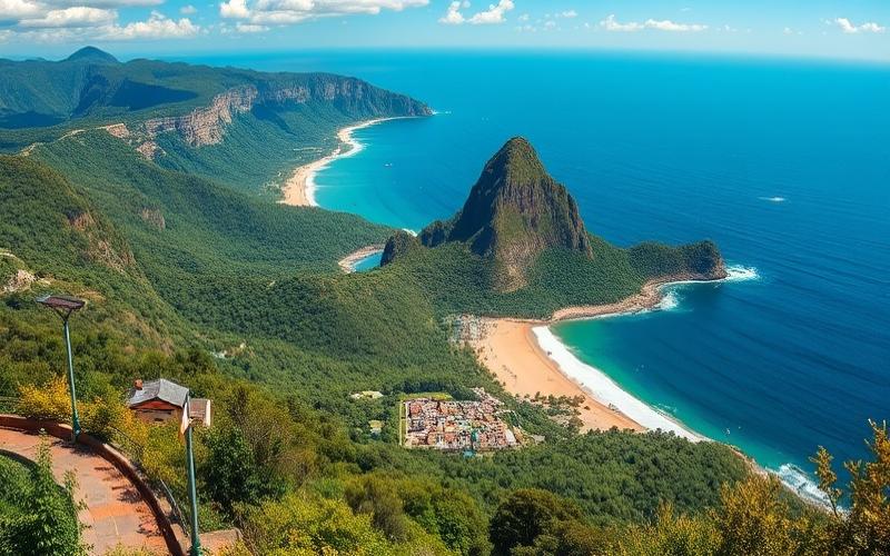
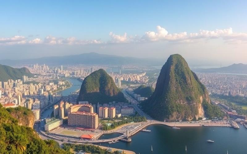
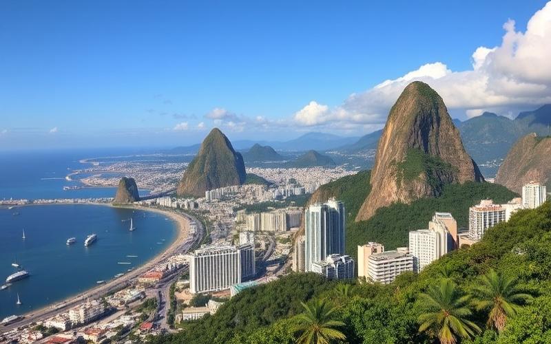
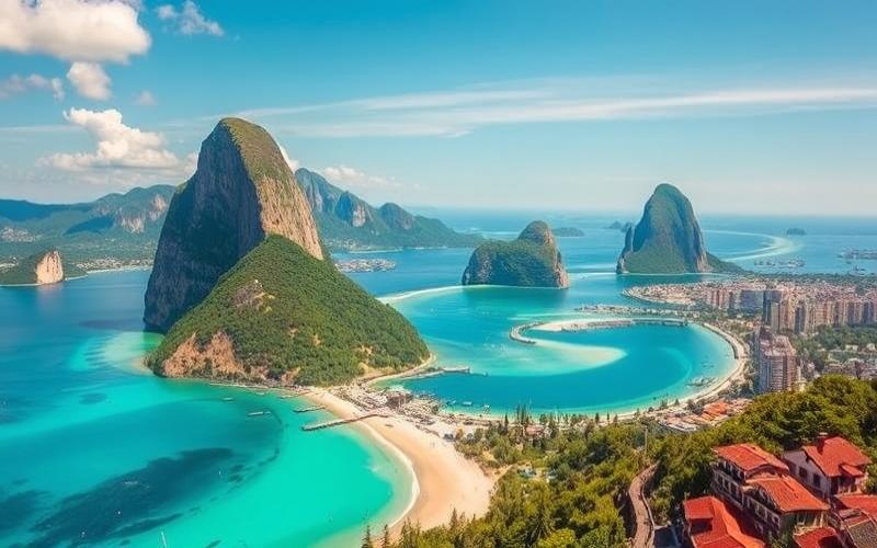
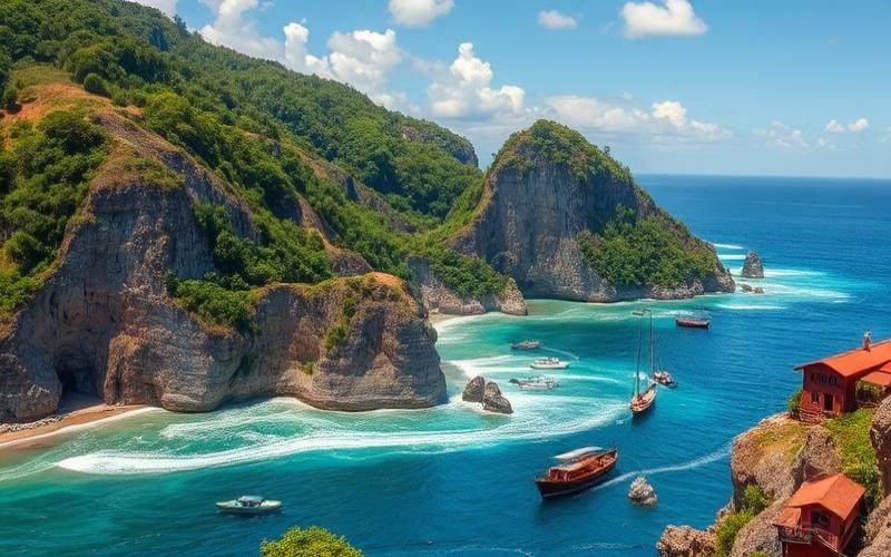
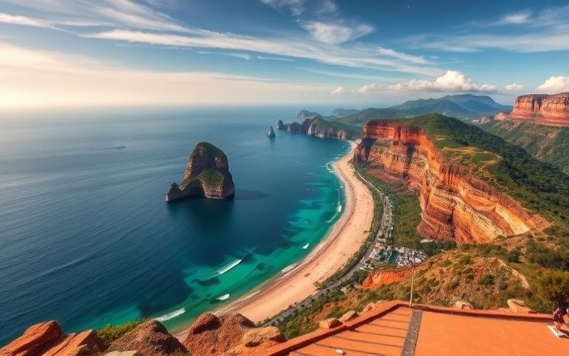
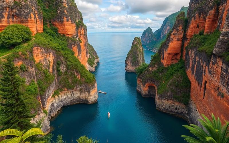
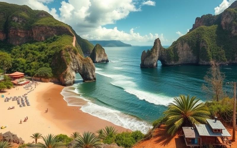
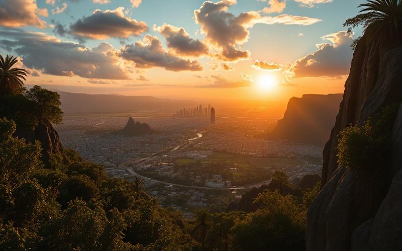
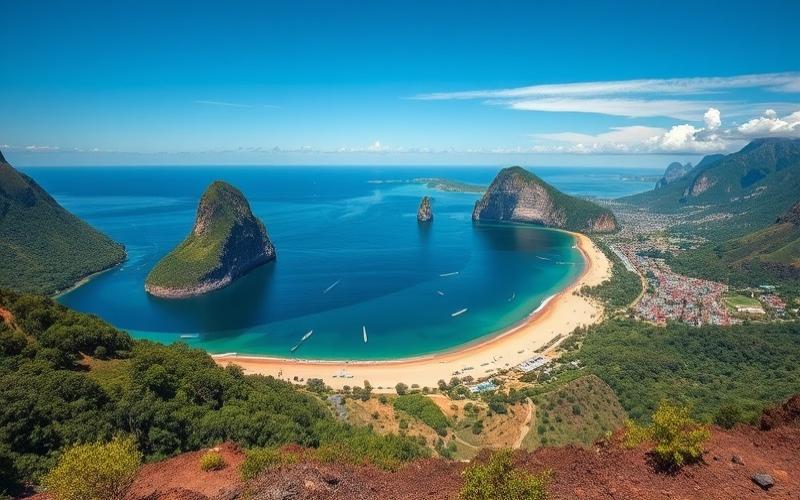
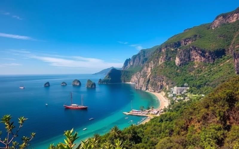
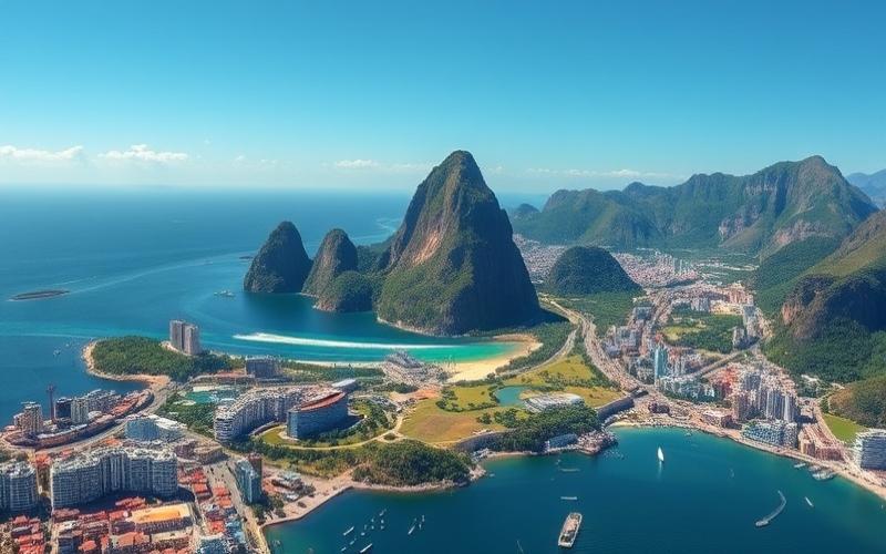
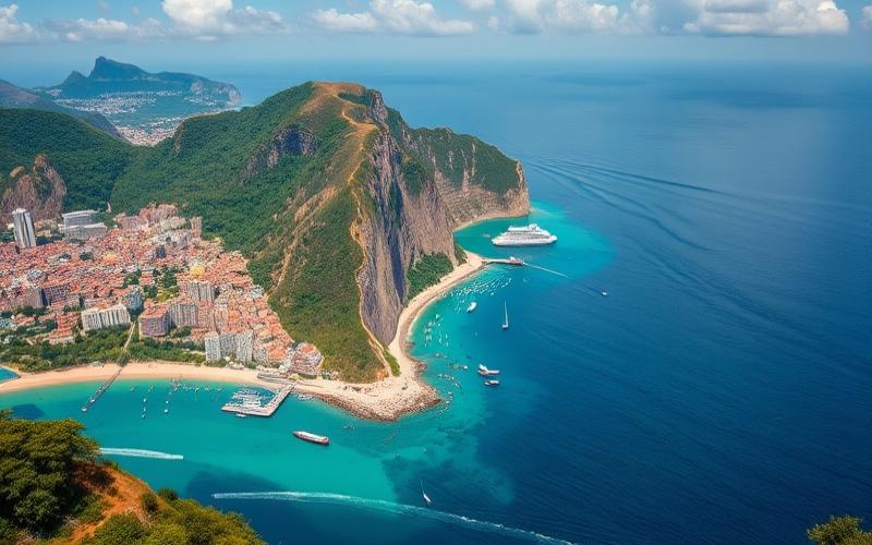
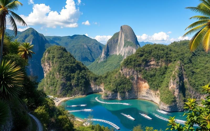
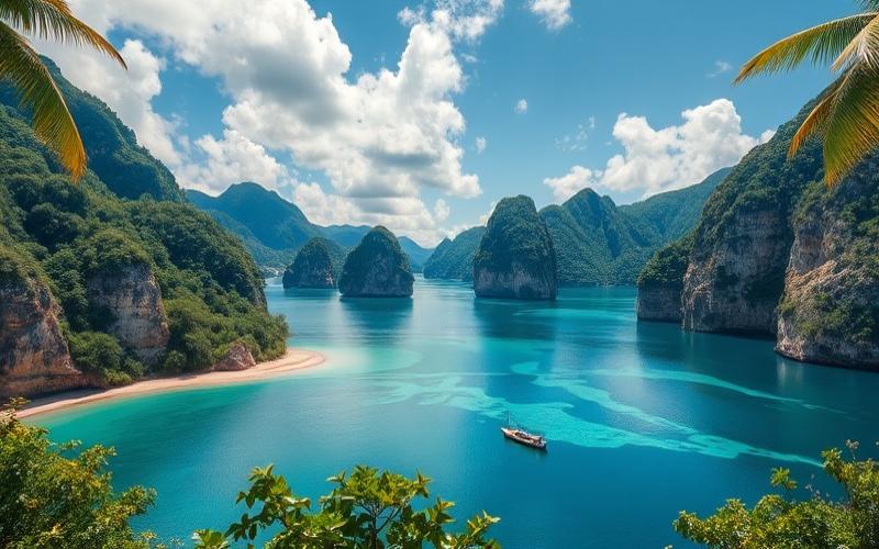
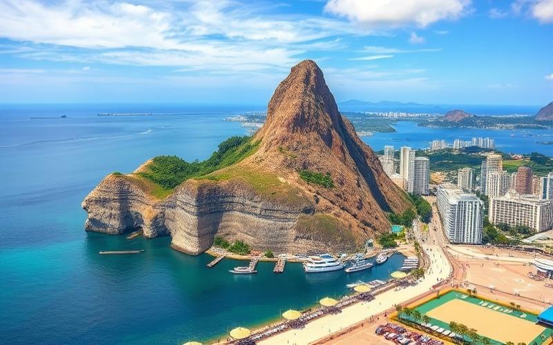
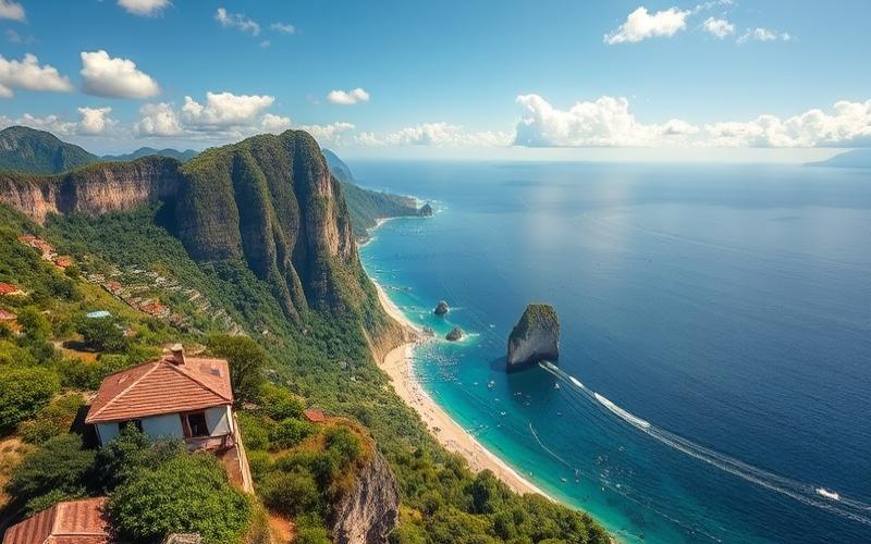
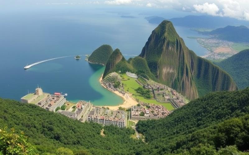
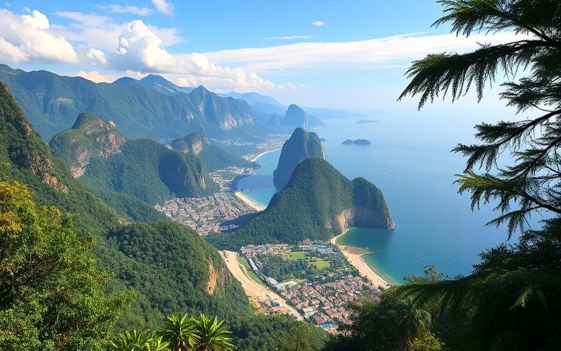
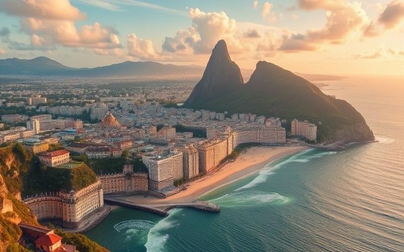
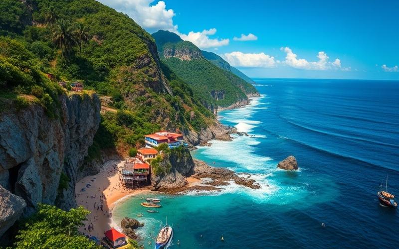
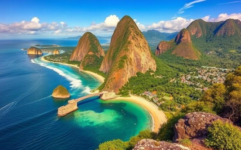
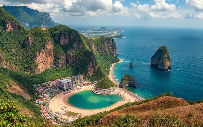
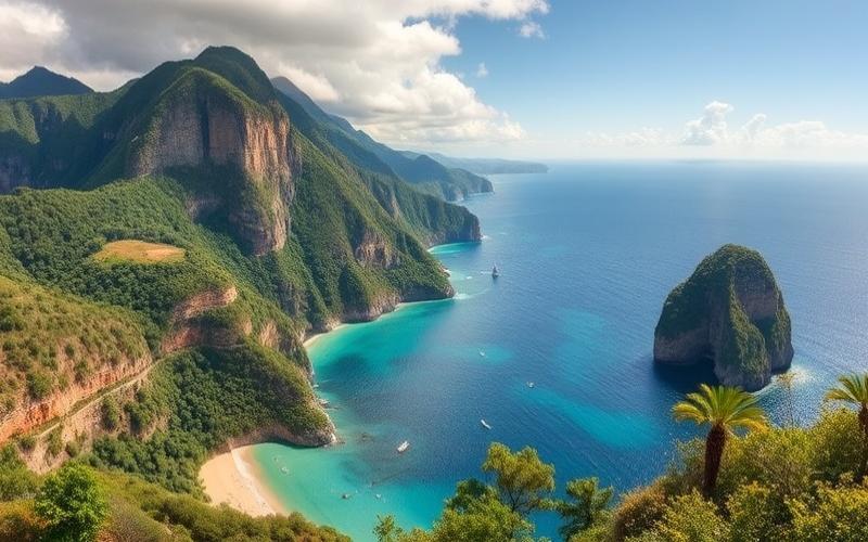
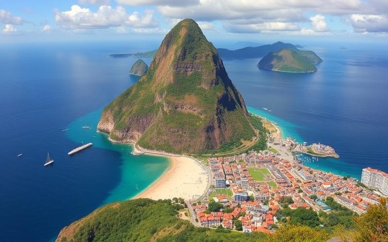
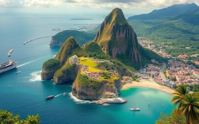
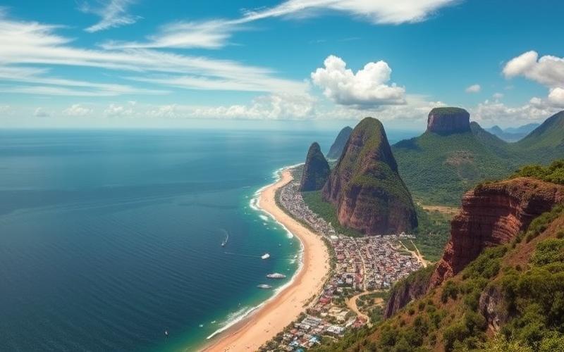
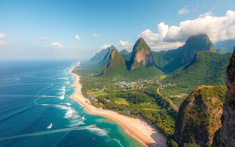
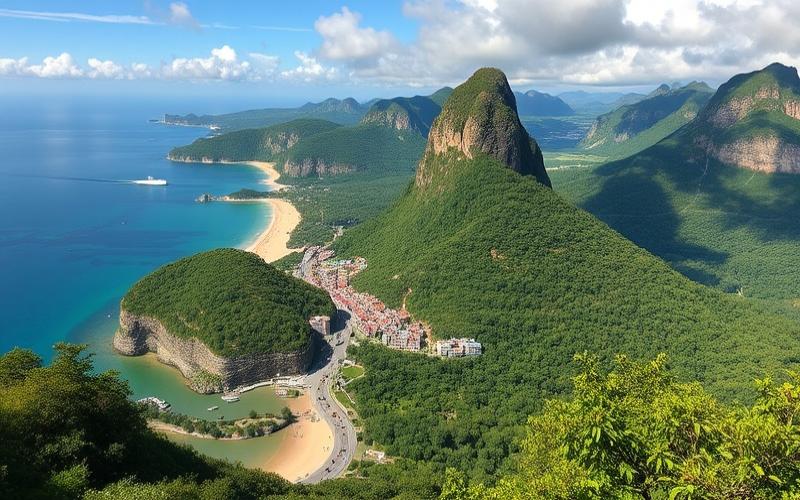
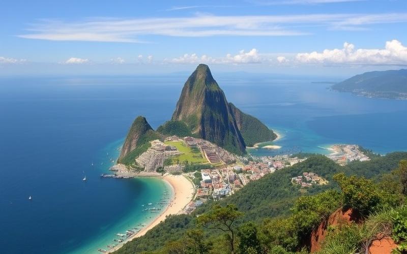
Wrapped in a mosaic of breathtaking landscapes, Brazil stands out for its exceptional geographical diversity, making it one of the most fascinating countries in South America.
From the idyllic Atlantic beaches to the deep mysteries of the Amazon rainforest, through the endless plains of the Cerrado and the imposing heights of the Pantanal, each region offers unsuspected ecological richness.
This vast land, bathed by the Amazon River, the world’s largest by volume, is home not only to unique biodiversity but also to varied ecosystems that interact harmoniously.
Through this article, dive into the heart of this land of natural opulence and discover how Brazil’s geography influences not only its climate and resources but also the daily life of its inhabitants.
General Geography and Location of Brazil
Total Area:
Brazil covers approximately 8,511,965 km², making it the largest country in South America and the fifth largest in the world by area.
Location on the South American continent:
- Position: Brazil occupies the central and eastern part of the continent, covering nearly half of South America’s surface.
- Coastline: It has an Atlantic coastline nearly 7,500 km long.
- Neighboring Countries:
| Bordering Countries | Border (approx.) |
|---|---|
| Argentina | Yes |
| Bolivia | Yes |
| Colombia | Yes |
| Guyana | Yes |
| Paraguay | Yes |
| Peru | Yes |
| Suriname | Yes |
| Uruguay | Yes |
| Venezuela | Yes |
| French Guiana | Yes |
| Chile | No |
| Ecuador | No |
Brazil shares land borders with all countries on the continent, except Chile and Ecuador.
General Climate and Regional Variations:
- Brazil’s climate is predominantly tropical, but it shows great diversity across regions.
- North (Amazon): Equatorial climate, hot and humid, with abundant rainfall year-round.
- Northeast (sertão): Semi-arid climate, marked by prolonged drought periods.
- Center and Southeast: Tropical climate with a dry season (tropical savanna).
- Southwest and South: Subtropical to temperate climate, with cooler winters and more pronounced temperature ranges.
| Region | Climate Type | Main Characteristics |
|---|---|---|
| Amazon (North) | Equatorial | Hot and humid, abundant rainfall |
Good to Know:
Occupying an area of 8.5 million km², Brazil is bordered by ten South American countries and the Atlantic Ocean, offering a variety of climates ranging from the humid tropical of the Amazon to the temperate of the Southwest, while its landscape diversity encompasses dense forests, beaches, and mountain ranges.
Main Geographical Regions
Geographical Regions of Brazil (Official IBGE Classification)
| Region | Main States | Area (km²) | Population (millions) | Major Cities | Climate | Dominant Ecosystems | Distinctive Facts |
|---|---|---|---|---|---|---|---|
| North | Amazonas, Pará, Acre, Rondônia, Roraima, Amapá, Tocantins | ~3,869,638 | ~18 | Manaus, Belém, Porto Velho | Equatorial, hot and humid | Amazon, dense tropical forest | Largest area, low density, exceptional biodiversity, importance of the Amazon. Low urban development. Large indigenous reserves and hydroelectricity (Belo Monte). Nature tourism (Amazon, Alter do Chão). |
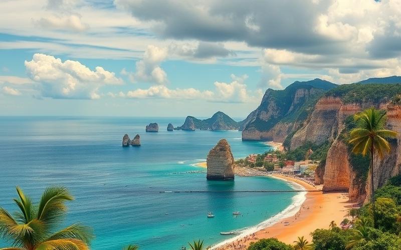
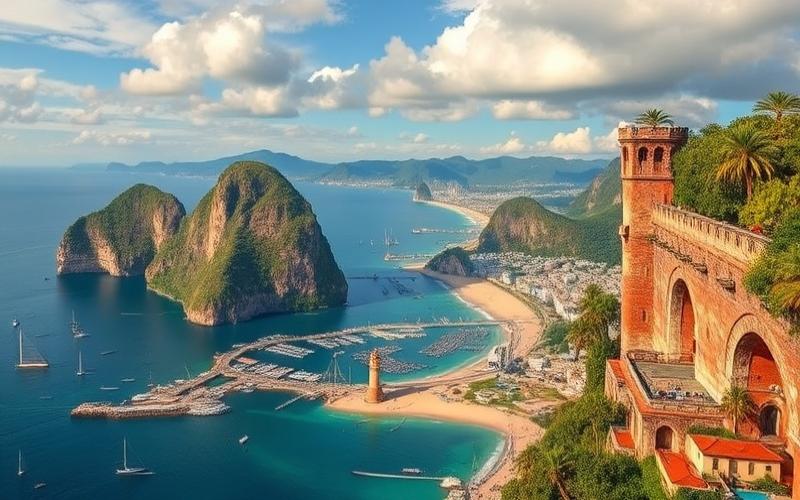
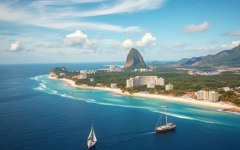
| Northeast | Bahia, Pernambuco, Ceará, Maranhão, Paraíba, Rio Grande do Norte, Alagoas, Sergipe, Piauí | ~1,561,177 | ~57 | Salvador, Recife, Fortaleza | Tropical, semi-arid inland | Caatinga, coastline, Atlantic forests | Strong cultural identity (carnival, music, cuisine), marked colonial heritage, renowned beaches, frequent drought in the Sertão. Beach tourism (Salvador, Jericoacoara). |
| Central-West | Goiás, Mato Grosso, Mato Grosso do Sul, Federal District | ~1,612,077 | ~16 | Brasília, Goiânia, Campo Grande, Cuiabá | Tropical, savanna, marked dry season | Cerrado, Pantanal, gallery forests | Low density, livestock and intensive agriculture (soybeans, corn), presence of the Pantanal (world’s largest wetland), capital Brasília (modern architecture). Ecotourism (Pantanal, Chapada dos Veadeiros). |
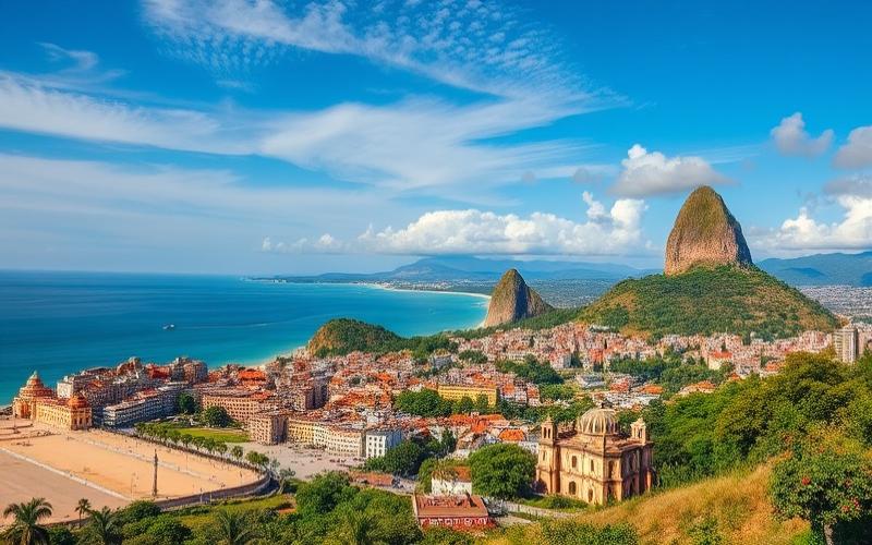
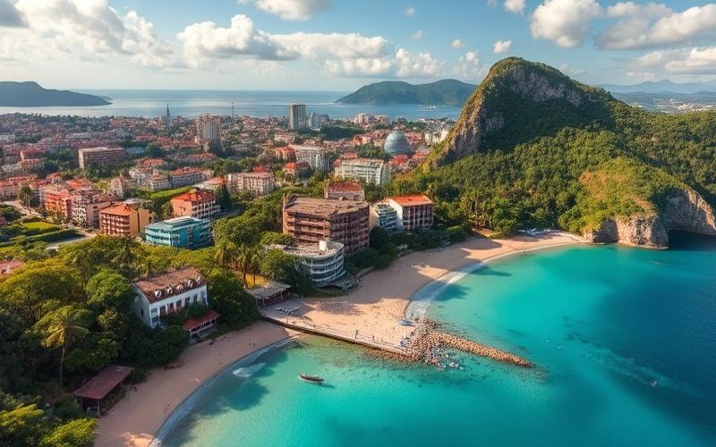
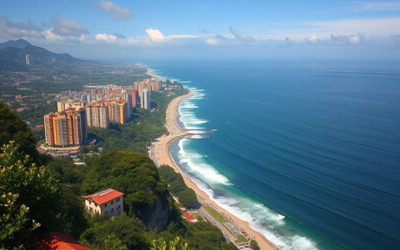
| Southeast | São Paulo, Rio de Janeiro, Minas Gerais, Espírito Santo | ~924,621 | ~89 | São Paulo, Rio de Janeiro, Belo Horizonte | Tropical, subtropical | Atlantic forest, mountains, coastline | Most populated and industrialized region, country’s economic and financial center. Global cities (São Paulo, Rio), historical heritage (Ouro Preto), beaches, Rio carnival, cultural diversity. |
| South | Paraná, Santa Catarina, Rio Grande do Sul | ~576,409 | ~30 | Curitiba, Porto Alegre, Florianópolis | Subtropical, cool winters | Araucaria forests, pampas, coastline | Significant European immigration (German, Italian), developed agriculture, temperate climate, traditional festivals, beach resorts (Florianópolis), wine regions and varied gastronomy. |
Key Characteristics by Region:
North
- Topography: Vast Amazon plain, numerous rivers (Amazonas).
- Population: Low density, importance of indigenous communities.
- Tourism: Ecotourism, biodiversity observation.
Northeast
- Topography: Indented coastline, semi-arid plateau (Sertão), coastal forests.
- Population: High urbanization on the coast, ethnic diversity (Afro-Brazilian).
- Culture: Birthplace of forró, axé, bumba-meu-boi, baroque architecture.
Central-West
- Topography: Plateaus, vast Cerrado plains, Pantanal wetlands.
- Population: Low density, rapid growth around Brasília.
- Economy: Driver of agribusiness, cattle ranching, soybeans.
Southeast
- Topography: Mountains (Serra do Mar, Mantiqueira), valleys, urbanized coastline.
- Population: Country’s densest, global metropolises.
- Economy: Industry, services, finance, coffee production, sugar, automotive industry.
South
- Topography: Plateaus, hills, river valleys, indented coastline.
- Population: Marked European heritage (festivals, architecture, regional languages).
- Climate: Four seasons, subtropical influence, occasional snow.
Notable Historical and Tourist Facts:
- North: Exploration of the Amazon, river routes, Jesuit missions, rubber routes.
- Northeast: First Portuguese settlements, sugar routes, religious syncretism.
- Central-West: Construction of Brasília (1960s), recent agricultural expansion.
- Southeast: Gold cycle (Minas Gerais), industrial development (20th century), Rio as imperial capital.
- South: German and Italian colonization, Contestado and Farrapos wars, wine and cheese routes.
Visual Summary of Major Cities by Region:
| Region | Main Major Cities |
|---|---|
| North | Manaus, Belém, Porto Velho |
| Northeast | Salvador, Fortaleza, Recife |
| Central-West | Brasília, Goiânia, Campo Grande, Cuiabá |
| Southeast | São Paulo, Rio de Janeiro, Belo Horizonte |
| South | Curitiba, Porto Alegre, Florianópolis |
Key Takeaways:
Each region of Brazil presents marked physical, cultural, and economic diversity, inherited from its history, ecosystems, and demographic dynamics.
Contrasts between regions are found in climate, population density, landscapes, traditions, and economy.
Good to Know:
Southeast Brazil, rich in economic resources, is home to São Paulo and Rio de Janeiro, while the North, covered by the Amazon rainforest, stands out for its exceptional biodiversity. The Northeast is known for its beaches and rich cultural heritage, the South for its temperate climate and European influences, and the Central-West for its vast savannas and the Pantanal, one of the world’s largest wetlands.
Major Cities and Urban Centers
São Paulo is Brazil’s largest city, with over 12 million inhabitants. It is the country’s main financial, industrial, and commercial center, generating the highest municipal GDP in Brazil. The city attracts a cosmopolitan population due to its economic dynamism and rich cultural offerings. São Paulo is also known for its museums, nightlife, and role in innovation, but it faces major challenges: traffic congestion, air pollution, and strong social inequalities.
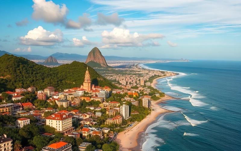
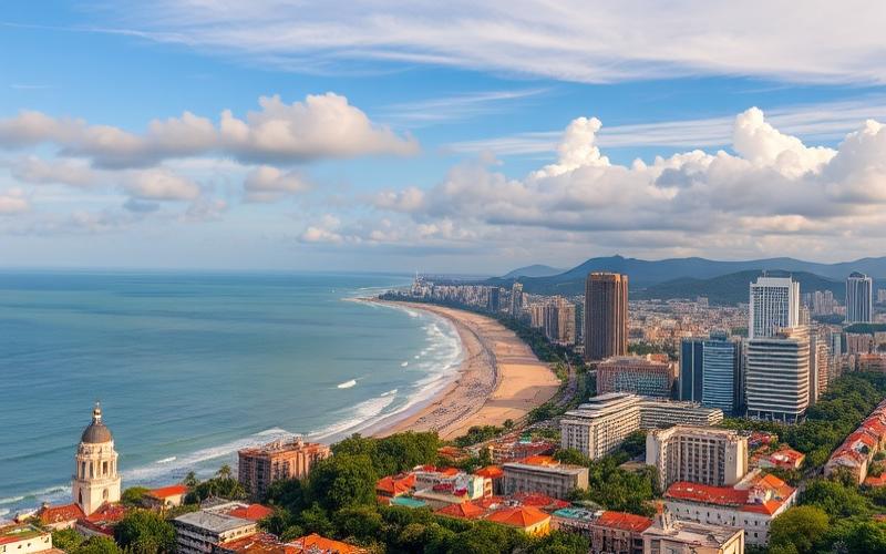
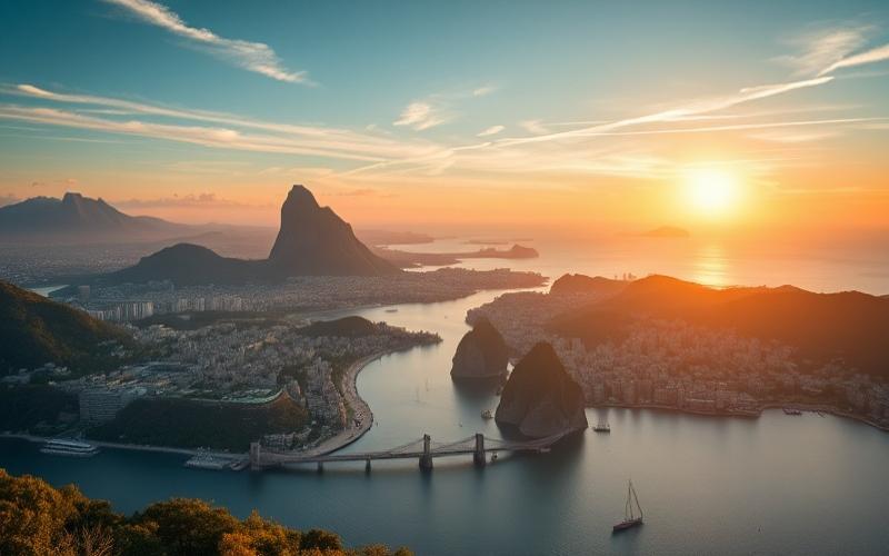
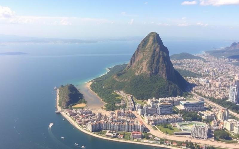
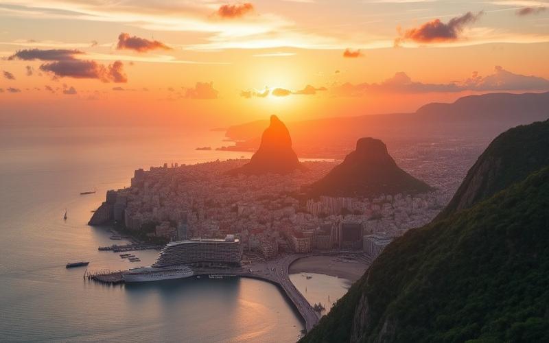
Rio de Janeiro has nearly 6.7 million inhabitants and is globally distinguished by its iconic natural landscapes, beaches like Copacabana, Christ the Redeemer, and its carnival. Rio is the country’s main tourist hub and has strong activity in the energy sector, particularly oil. The city is also an important cultural center but faces poverty, crime, and infrastructure deficits in some neighborhoods.
Brasília, the federal capital, has about 3.1 million inhabitants. Built in the 1960s, it embodies the country’s political power and is distinguished by its modernist urban design by Oscar Niemeyer and Lúcio Costa. Brasília houses the main governmental and diplomatic institutions, and its urban organization aims to limit sprawl and promote quality of life.
Belo Horizonte is the capital of Minas Gerais state and has over 2.7 million inhabitants. It is a regional industrial and commercial center, known for its universities, gastronomic and cultural scene, and its role in the mining industry and raw material processing.
Salvador, capital of Bahia state, gathers about 2.9 million inhabitants. It is famous for its historical richness, Afro-Brazilian heritage, and carnival. Salvador plays an essential role in tourism, culture, and regional commerce but must manage challenges related to poverty and infrastructure modernization.
| City | Population (approx.) | Main Role | Economic Importance | Cultural Importance | Political Importance |
|---|---|---|---|---|---|
| São Paulo | 12.4 million | Financial, industrial center | Very high | Very high | Low |
| Rio de Janeiro | 6.7 million | Tourism, energy | High | Very high | Medium |
| Brasília | 3.1 million | Administrative and political capital | Medium | Medium | Very high |
| Belo Horizonte | 2.7 million | Industry, services | Medium | Medium | Medium |
| Salvador | 2.9 million | Tourism, culture | Medium | Very high | Low |
Growing Urbanization and Its Impacts
- Over 87% of Brazil’s population now lives in urban areas, which has strongly accelerated the growth of large cities.
- This rapid urbanization has boosted the economy and fostered innovation but has also generated major problems: overcrowding, urban sprawl, pressure on infrastructure (transport, water, electricity), and air pollution.
- Large metropolises face urban management challenges, including the proliferation of informal neighborhoods (favelas), insecurity, unequal access to public services, and congestion.
Major Urban Management Challenges
- Overcrowding in urban centers, leading to a lack of decent housing.
- Transport infrastructure often saturated and aging.
- Air and water pollution, linked to industrial activity and traffic.
- Marked socio-economic inequalities between rich and poor neighborhoods.
- Growth of slums and difficulty accessing essential services (health, education, sanitation).
Government Initiatives to Improve Urban Quality of Life
- Deployment of social housing programs (e.g., “Minha Casa, Minha Vida”) to reduce the housing deficit.
- Modernization and extension of public transport networks (subway, rapid buses) to decongest cities.
- Investments in urban regeneration, particularly in Rio de Janeiro and São Paulo, to improve access to green spaces and rehabilitate disadvantaged neighborhoods.
- Policies to reduce polluting emissions and manage waste.
- Targeted actions to strengthen security and social inclusion in sensitive areas.
Brazilian urbanization is both a driver of development and a major challenge, requiring ambitious public policies to ensure a sustainable and inclusive living environment for the entire population.
Good to Know:
São Paulo is the economic heart of Brazil, while Rio de Janeiro shines with its cultural influence; however, rapid urbanization poses challenges such as overcrowding, although government programs are underway to improve infrastructure and reduce pollution.
Borders and Neighboring Countries
Brazil shares land borders with ten South American countries, except Chile and Ecuador. The total length of its borders reaches approximately 14,691 km, making it one of the countries with the longest land borders in the world.
| Neighboring Country | Approximate Length | Affected Brazilian States | Major Geographical Features | Main Agreements or Treaties |
|---|---|---|---|---|
| Argentina | 1,224 km | Paraná, Rio Grande do Sul, Santa Catarina | Borders marked by the Iguazú, Uruguay, and Paraná rivers, with the subtropical forest of Misiones. | 1898 Boundary Treaty |
| Bolivia | 3,400 km | Acre, Mato Grosso, Mato Grosso do Sul, Rondônia | Border crossing the Amazon, Pantanal, and savanna areas. Numerous rivers like the Guaporé and Madeira. | 1867 and 1903 Treaties (Treaty of Petrópolis) |
| Colombia | 1,643 km | Amazonas | Mostly Amazon rainforest, inaccessible border, presence of the Rio Negro. | 1907 Boundary Agreement |
| France (Guiana) | 730 km | Amapá | Border largely defined by the Oyapock River, dense equatorial forest. | Treaty of Utrecht (1713), current delineation from 1900 |
| Guyana | 1,605 km | Pará, Roraima | Very rugged region, 698 km of river borders (Rio Tacutu). Dense tropical forest, single crossing at Bonfim. | 1904 Agreement, regular delineations |
| Paraguay | 1,290 km | Mato Grosso do Sul, Paraná | Presence of the Paraná River and Apa River, area of forests and savannas. | 1872 Treaty |
| Peru | 1,560 km | Acre, Amazonas | Border crossing the Amazon, marked by the Javari and Yuruá rivers. | 1909 Treaty (precise delineation) |
| Suriname | 593 km | Amapá, Pará | Brazil’s shortest border, isolated region, equatorial forest, no official road or crossing. | 1906 Delineation |
| Uruguay | 985 km | Rio Grande do Sul | Border marked by the Quaraí River and Laguna Mirim, pampas areas. | 1851 Treaty |
| Venezuela | 2,200 km | Amazonas, Roraima | Amazon rainforest, mountainous areas (Sierra de Pacaraima), presence of BR-174 highway. | 1859 Treaty, subsequent agreements |
Additional Information:
- Brazil has a land border with all South American countries except Chile and Ecuador.
- Borders are mostly marked by rivers (Oyapock, Tacutu, Paraná, Guaporé, Madeira, Javari, etc.), tropical forests (Amazon), and some mountainous areas (Sierra de Pacaraima with Venezuela).
- Borders with French Guiana, Suriname, Colombia, and Peru are particularly isolated and difficult to access.
- Several borders result from historical treaties, often signed between the late 19th and early 20th centuries, which ended territorial disputes.
- The border with French Guiana (France) is France’s longest land border, ahead of that with Spain.
Visual Border Summary:
- Mainly river borders: France (Oyapock), Guyana (Tacutu), Paraguay (Paraná, Apa), Peru (Javari, Yuruá), Bolivia (Guaporé, Madeira).
- Tropical forest borders: Colombia, Peru, Suriname, Guyana, Venezuela.
- Savanna or pampas borders: Argentina, Uruguay, Paraguay.
- Mountain borders: Venezuela (Sierra de Pacaraima).
Brazil shares borders with almost all South American countries, except Chile and Ecuador.
Good to Know:
Brazil shares land and river borders with 10 South American countries, totaling approximately 16,000 km, and only Chile and Ecuador are exceptions; the Amazon River marks a natural boundary, while the Treaty of Tordesillas governs some historical delineations.
Disclaimer: The information provided on this website is for informational purposes only and does not constitute financial, legal, or professional advice. We encourage you to consult qualified experts before making any investment, real estate, or expatriation decisions. Although we strive to maintain up-to-date and accurate information, we do not guarantee the completeness, accuracy, or timeliness of the proposed content. As investment and expatriation involve risks, we disclaim any liability for potential losses or damages arising from the use of this site. Your use of this site confirms your acceptance of these terms and your understanding of the associated risks.
Cyril Jarnias is an independent expert in international wealth management with over 20 years of experience. As an expatriate himself, he is dedicated to helping individuals and business leaders build, protect, and pass on their wealth with complete peace of mind.
On his website, cyriljarnias.com, he shares his expertise on international real estate, offshore company formation, and expatriation.
Thanks to his expertise, he offers sound advice to optimize his clients' wealth management. Cyril Jarnias is also recognized for his appearances in many prestigious media outlets such as BFM Business, les Français de l’étranger, Le Figaro, Les Echos, and Mieux vivre votre argent, where he shares his knowledge and know-how in wealth management.