Published on and written by Cyril Jarnias
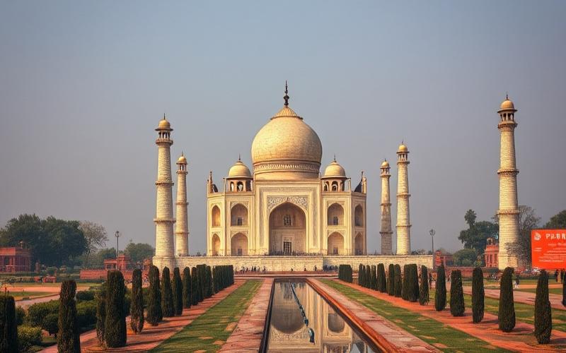
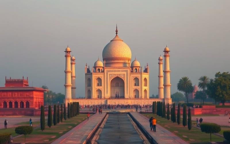
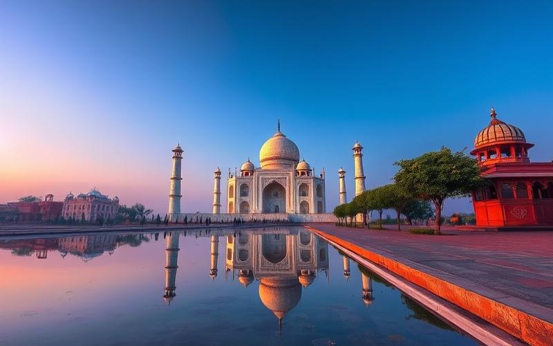
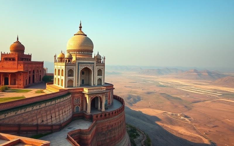
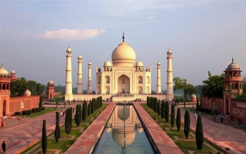
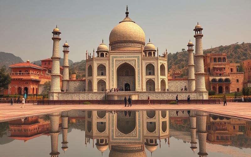
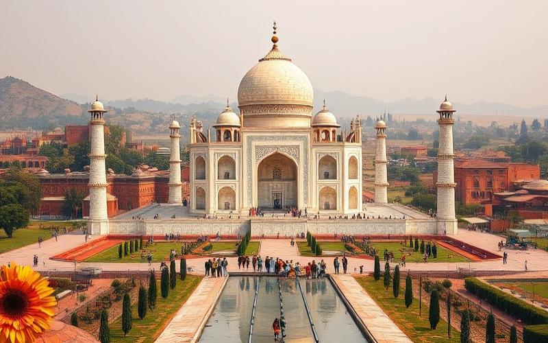
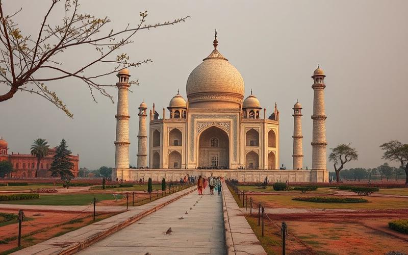
India, a vast South Asian nation, displays an extraordinarily rich geographical mosaic, combining phenomenal natural diversity with a rich history. This territory, spanning over three million square kilometers, is bordered by the majestic Himalayan ranges to the north, which are home to some of the world’s most impressive peaks.
Its complex geography is marked by a unique juxtaposition of fertile plains like those of the Ganges, high plateaus, arid deserts like the Thar, and long coastlines bordered by the Arabian Sea and the Bay of Bengal.
This country constitutes a true microcosm of geographical diversity, where each region offers a range of climates and ecosystems that have shaped the lives of local populations for millennia, and continues to fascinate researchers, explorers, and the curious who seek to uncover the secrets of this ever-evolving land.
Where is India located on the globe?
India is located in South Asia, occupying most of the Indian subcontinent. Its approximate geographical coordinates are 20°N latitude and 77°E longitude, extending between approximately 8°4’N to 37°6’N for latitude and 68°7’E to 97°25’E for longitude.
| Element | Detail |
| Latitude | ~8°4’N (south) to ~37°6’N (north) |
| Longitude | ~68°7’E (west) to ~97°25’E (east) |
| Central coordinates | Approximately 20°N, 77–78 °E |
| Area | ≈3,287,263 km² |
India is surrounded by several seas and oceans:
- To the south: Indian Ocean
- To the west: Arabian Sea
- To the east: Bay of Bengal
Its land neighbors are:
- Pakistan
- China
- Nepal
- Bhutan
- Bangladesh
- Myanmar
To the north of India are the imposing Himalayan ranges, a natural barrier that separates the country from the Tibetan Plateau and plays a determining role in the climate.
Influence on Climate and Biodiversity
- The Himalayas protect the country from cold winds coming from Central Asia, promoting a tropical climate in the south.
- The Indian monsoon strongly structures the seasons with abundant rainfall during the summer.
- This climatic diversity results in very high biodiversity, ranging from tropical forests to arid deserts and alpine mountains.
Some facts illustrating its unique geographical position:
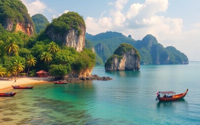
- India has more than 7,500 km of coastline, which supports significant maritime activity.
- The Andaman and Nicobar Islands in the Bay of Bengal mark its eastern maritime borders; the Lakshadweep Islands dot its western coastline.
- The highest accessible peak outside disputed areas is Kangchenjunga (8,598 m) in the Himalayas.
- The Thar Desert extends to the northwest; the vast Deccan Plateau dominates the central-south.
- The fertile plains traversed by great rivers like the Ganges or the Indus explain both its human density and agricultural wealth.
This strategic location between sea and mountain thus makes India a major cultural, economic, and ecological crossroads.
Good to Know:
India, located at the heart of South Asia, is positioned between approximately 8° and 37° North latitude and 68° to 97° East longitude. Bordered by the Indian Ocean to the south, it is flanked by the Arabian Sea to the west and the Bay of Bengal to the east. It shares its land borders with Pakistan, China, Nepal, Bhutan, Bangladesh, and Myanmar. To the north, the imposing Himalayan range delimits the country, greatly influencing its climate by creating a barrier effect that prevents cold air masses from penetrating, promoting a tropical climate in most of India. The diversity of its ecosystems, from the deserts of Rajasthan to the humid tropical forests of the Andaman, is a testament to its unique geographical location. India’s position on the world map is not only central in South Asia but also makes it a crossroads of biodiversity and a key player in historical maritime exchanges via the Indian Ocean routes.
Main Regions of India
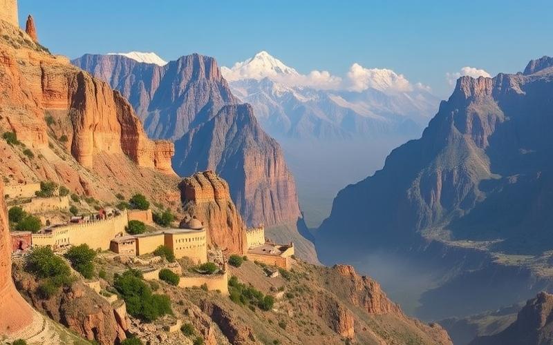
Himalayas
- Area: Approximately 500,000 km²
- Major mountain ranges: Himalaya, Karakoram, Hindu Kush, Patkai
- Main rivers: Ganges (source at the foot of the Himalayas), Brahmaputra
- Predominant climate: Temperate to cold; abundant snow in winter, summer monsoon
- Cultural and linguistic diversity:
- Main languages: Hindi, Tibetan, Nepali, and various local languages
- Mountain peoples (Bhutanese, Ladakhis), marked Buddhist and Hindu traditions
- Economic importance:
- Limited agriculture (cultivated terraces)
- Mountain tourism (trekking), major water resources for the country
- Fauna and flora:
- Alpine and subalpine forests; emblematic species like the snow leopard or red panda
Northeast Mountains
| Characteristics | Details |
|---|---|
| Area | ~262,000 km² |
| Relief | Purvanchal Mountains |
| Main rivers | Brahmaputra |
| Climate | Humid subtropical |
| Cultures/Linguistics | Great ethnic diversity; over one hundred tribal groups |
| Economy | Subsistence agriculture (rice), Assam tea |
| Fauna/Flora | Dense tropical forests; Asian elephant, rhinoceros |
Indo-Gangetic Plains
Approximate area: >700,000 km²
- Nearby mountain ranges: Himalayan foothills to the north.
- Main rivers: Ganges, Yamuna, Brahmaputra.
- Predominant climate: Humid tropical with strong monsoon.
List of Cultural & Economic Characteristics:
- Linguistic diversity: dominant Hindi but presence of Bengali, Punjabi and other regional languages.
- High degree of urbanization with Delhi and Kolkata.
- Most productive agricultural region in the country (wheat, rice).
- Important textile industry in major cities.
Typical Fauna/Flora:
- Fertile alluvial plains hosting wild water buffalo.
- Vegetation mainly composed of acacias and mangroves in the deltas.
Deccan Plateau
| Element | Description |
|---|---|
| Area | Approximately 1.9 million km² |
| Relief | Triangular plateau framed by Ghats |
| Main rivers | Godavari, Krishna |
| Climate | Semi-arid tropical |
Cultural/Linguistic Diversity:
Dominant Dravidian languages: Telugu (Andhra Pradesh), Tamil (Tamil Nadu), Kannada…
Economic Importance & Natural Resources:
Coal/ore mines in Chota Nagpur.
Major grain/rice crops on lateritic soils.
Remarkable Fauna/Flora:
- Tigers in forest reserves,
- Dry deciduous forests.
Coastal Regions
List of Geographical Particularities:
- Western coasts bordered by the Arabian Sea; eastern coasts on the Bay of Bengal
- Western/Eastern Ghats running along each coast
- Total coastline >7,000 km
Main Climates:
Humid tropical subject to cyclones especially on the east side
Dominant Cultures/Languages by Coast:
West: Marathi/Malayalam/Kannada – Hindu/Muslim/Christian religious diversity
East: Tamil/Telugu/Bengali – numerous traditional festivals
Economic Importance:
Major ports in Mumbai/Kolkata/Chennai
Intensive fishing; irrigated agriculture; flourishing beach tourism
Characteristic Fauna/Flora:
Sundarbans mangroves hosting royal tigers; sea turtles observable on eastern beaches
Indian Islands
| Island / Archipelago | Characteristics | Approx. Population |
|---|---|---|
| Lakshadweep | Small coral area | ~65,000 inhabitants |
| Andaman-Nicobar | Volcanic/heavily forested | ~380,000 inhabitants |
Additional Characteristics:
- Equatorial/humid climate year-round
- Indo-Malay cultural mix among indigenous peoples
- Remarkable biodiversity: exceptional coral reefs; presence of saltwater crocodiles
Main Industries of the Islands:
- Artisanal fishing
- Coconut production
- Growing ecotourism
Good to Know:
India is divided into six main geographical regions: the Himalayas, the Northeast Mountains, the Indo-Gangetic Plains, the Deccan Plateau, the Coastal Regions, and the Islands. The Himalayas, home to majestic peaks like Everest and an alpine climate, present great biodiversity, including species such as snow leopards and yaks. The Northeast Mountains, known for their dense vegetation and rainforests, are also rich in diverse tribal cultures. The Indo-Gangetic Plains, traversed by the Ganges and Indus, constitute India’s breadbasket, thanks to their fertile soil. The Deccan Plateau, covering about 43% of India, is vital for the mining industry. The Coastal Regions, bordering the Arabian Sea and the Bay of Bengal, offer a tropical climate and are crucial for maritime trade. Finally, the Andaman and Nicobar Islands are renowned for their coral reefs and unique marine life. These regions display a cultural and linguistic mosaic with predominant languages like Hindi, Bengali, and Tamil, supporting a varied economy ranging from agriculture to cutting-edge technologies.
Major Cities of India
| City | Population (2024) | Economic Importance | Technological & Commercial Role | Geographical or Cultural Particularity |
|---|---|---|---|---|
| New Delhi | 33,807,403 | Political and administrative center, strong GDP, second most productive city in India | Hub for services, government infrastructure and businesses | National capital; blend of Mughal and modern history |
| Mumbai | 21,673,149 | Financial capital of India, center of commerce, home to the Bombay Stock Exchange and many multinationals | Primary economic pole; film industry (Bollywood) | Natural port on the Arabian Sea; very dense urban life |
| Bangalore | 14,008,262 | Rapid growth of the IT sector; nicknamed “Indian Silicon Valley” | Technological leader: startups, international R&D | Temperate climate year-round; numerous urban parks |
| Kolkata | 15,570,786 | Major historic commercial port, diversified industrial sector | Important educational center; maritime trade | “Cultural capital”: literature, artistic festivals |
| Chennai | 12,053,697 | Major automotive and manufacturing hub in India | Development of IT and automotive sectors | Coastal city on the Bay of Bengal |
| Hyderabad | 11,068,877 | Pharmaceutical center (“Genome Valley”), strong growth in technologies | Rapidly expanding technopolis (Cyberabad), high-tech industries | Architectural fusion of Islamic and Hindu; rocky hills |
List of Key Points for Each City:
- New Delhi
- Political nerve center.
- Sustained demographic growth (+2.34% between 2023-2024).
- Unique blend between historic quarters (Old Delhi) and modern areas.
- Mumbai
- Largest Indian financial center.
- Richest city with high concentration of millionaires.
- Intense dynamism in the creative industry.
- Bangalore
- Primary destination for digital professionals.
- Rapid urban expansion despite a slightly lower growth rate (+0.97%).
- Kolkata
- Visible colonial heritage in architecture.
- Famous for its major cultural institutions like the Durga Puja festival.
- Chennai
- Flourishing automotive industry (“Indian Detroit”).
- Strong presence of international IT/software companies.
- Hyderabad
- Impressive boom in biotechnologies.
- Districts such as HITEC City concentrate tech start-ups.
- Iconic site: Charminar.
Recent Statistics Illustrating Their Importance:
The table above shows that these cities display annual demographic growth of up to +2.34%. They all rank among the top thirty global agglomerations by population.
Together, these metropolises constitute the national economic engine thanks to their varied industrial poles—finance in Mumbai, technology in Bangalore/Hyderabad/Chennai, administration in New Delhi—while maintaining a marked cultural identity.
Good to Know:
New Delhi, the capital of India, is a crucial political center and home to many historical sites like the Red Fort. Mumbai, with a population exceeding 20 million, is the economic heart of the country, famous for Bollywood and its Stock Exchange. Bangalore, often called the “Silicon Valley of India,” is a flourishing technological center, attracting many IT experts and start-ups. Kolkata, once the capital of the British Empire in India, stands out for its rich cultural heritage and role in the literary and artistic renaissance. Chennai, an important southeastern metropolis, is renowned for its automotive industry and picturesque beaches. Hyderabad, also nicknamed Cyberabad, is a booming technological and pharmaceutical hub, with its famous Charminar. These cities show significant demographic and economic growth rates, with Mumbai and Bangalore leading the charge as engines of innovation and development in India.
India’s Neighboring Countries
| Neighboring Country | Border Length | Geographical Characteristics | Cultural, Historical, Political and Economic Links |
|---|---|---|---|
| Bangladesh | 4,053 km | Ganges-Brahmaputra Delta, plains, Sundarbans (mangrove forest) | Shared languages and religions (Bengali, Hinduism, Islam), migrations, water agreements, significant economic exchanges. |
| China | 3,380 km | Himalayas, Tibetan Plateau, high altitude passes | Complex relations, border tensions (Ladakh, Arunachal Pradesh), growing economic exchanges, Buddhist and Tibetan influences. |
| Pakistan | 2,912 km | Thar Desert, Indus River, Karakoram and Himalayan ranges | Shared history (British Empire), conflicts (Kashmir), cultural and religious exchanges, political and military rivalries, limited trade. |
| Nepal | 1,690 km | Himalayas (Everest, Annapurna), valleys and hills | Open border, ethnic links (Gurkhas, Madhesis), religious influences (Hinduism, Buddhism), migratory and commercial cooperation. |
| Myanmar | 1,463 km | Arakan Hills, tropical forests, rivers (Chindwin) | Cross-border ethnic minorities (Naga, Chin), commercial exchanges, migratory issues, regional cooperation. |
| Bhutan | 605 km | Himalayan range, isolated valleys, high-altitude forests | Privileged diplomatic relations, cultural proximity (Buddhism), economic exchanges, Indian influence on security and economy. |
Marked Reliefs: The Himalayas dominate the northern and northeastern borders (China, Nepal, Bhutan), constituting a major natural barrier. To the southeast, alluvial plains and deltas shape the border with Bangladesh. To the west, the Thar Desert separates India from Pakistan.
Important Rivers: The Ganges and Brahmaputra cross or border the Indo-Bangladeshi border. The Indus marks the border region with Pakistan. Mountain rivers like the Sutlej and Teesta are strategic in water relations.
Singular Landscapes: The Sundarbans, on the border with Bangladesh, are the largest mangrove in the world. The Tibetan high plateaus run along the border with China.
Relations between India and its neighbors are deeply marked by colonial history, migratory exchanges, cultural heritages (languages, religions), but also by persistent political issues (border disputes, security, water resources). Economic influences vary, ranging from strong interdependence (Bangladesh, Nepal, Bhutan) to more restricted exchanges with Pakistan or China, often conditioned by the geopolitical context.
Summary of India’s Land Border Lengths:
| Country | Length (km) |
|---|---|
| Bangladesh | 4,053 |
| China | 3,380 |
| Pakistan | 2,912 |
| Nepal | 1,690 |
| Myanmar | 1,463 |
| Bhutan | 605 |
Good to Know:
India shares its borders with six countries: to the northwest, Pakistan with a border of approximately 3,323 km, marked by the Indus plain; to the north, China along a 3,488 km line, dominated by the heights of the Himalayas; Nepal to the northeast, over 1,690 km, where the cultural link is strong with numerous historical and religious exchanges; Bhutan, with 699 km of mountainous borders, where Indian economic influence is predominant; Bangladesh to the east, 4,096 km long, delimited by many rivers including the Ganges and Brahmaputra, testifying to a shared colonial history and significant economic relations; and Myanmar, with a 1,643 km border, featuring dense forests and growing cooperation in security and trade. Along these diverse borders, India has woven complex and varied relationships, influenced by history, geography, and current political dynamics, reinforcing its central role in South Asia.
Disclaimer: The information provided on this website is for informational purposes only and does not constitute financial, legal, or professional advice. We encourage you to consult qualified experts before making any investment, real estate, or expatriation decisions. Although we strive to maintain up-to-date and accurate information, we do not guarantee the completeness, accuracy, or timeliness of the proposed content. As investment and expatriation involve risks, we disclaim any liability for potential losses or damages arising from the use of this site. Your use of this site confirms your acceptance of these terms and your understanding of the associated risks.
Cyril Jarnias is an independent expert in international wealth management with over 20 years of experience. As an expatriate himself, he is dedicated to helping individuals and business leaders build, protect, and pass on their wealth with complete peace of mind.
On his website, cyriljarnias.com, he shares his expertise on international real estate, offshore company formation, and expatriation.
Thanks to his expertise, he offers sound advice to optimize his clients' wealth management. Cyril Jarnias is also recognized for his appearances in many prestigious media outlets such as BFM Business, les Français de l’étranger, Le Figaro, Les Echos, and Mieux vivre votre argent, where he shares his knowledge and know-how in wealth management.