Published on and written by Cyril Jarnias
Argentina, a vast South American country, boasts exceptional geographical diversity, ranging from the snow-capped peaks of the Andes Mountains to the fertile plains of the Pampas, including the glaciers of Patagonia and Iguazu Falls. Let’s explore together the main geographical features of this fascinating country.
Geographical Location
Argentina is located in the southern part of the South American continent. It stretches 3,700 km from north to south and over 1,300 km from east to west, covering a total area of 2,780,400 km². The country is bordered by the Atlantic Ocean to the east and the Andes Mountains to the west, which form a natural border with Chile.
Neighboring Countries
Argentina shares land borders with five countries:
- Chile to the west (5,150 km border)
- Bolivia to the northwest (832 km)
- Paraguay to the north (1,880 km)
- Brazil to the northeast (1,224 km)
- Uruguay to the east (579 km)
Main Geographical Regions
Argentina can be divided into six major geographical regions, each with its distinct characteristics:
1. The Pampas
A vast fertile plain in the center of the country, the Pampas is the agricultural heartland of Argentina. It covers about 20% of the country’s area and is home to two-thirds of the population.
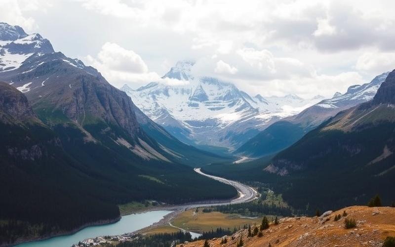
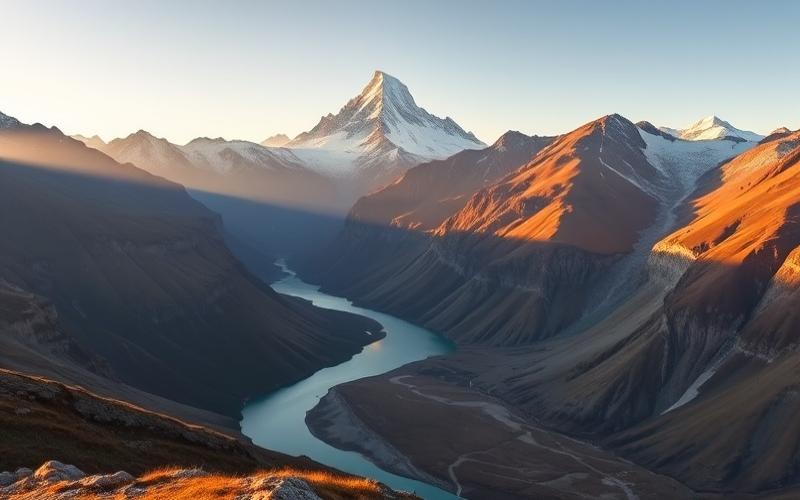
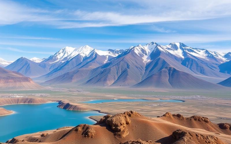
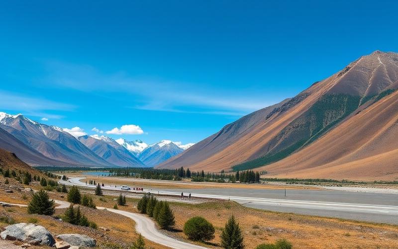
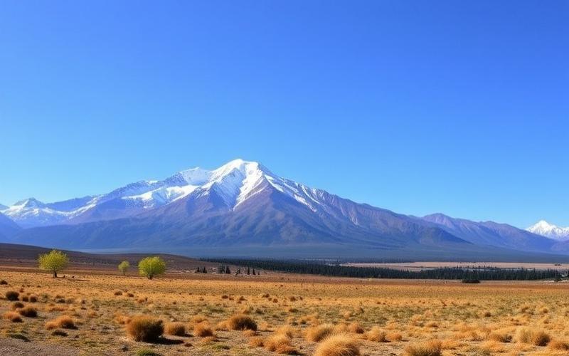
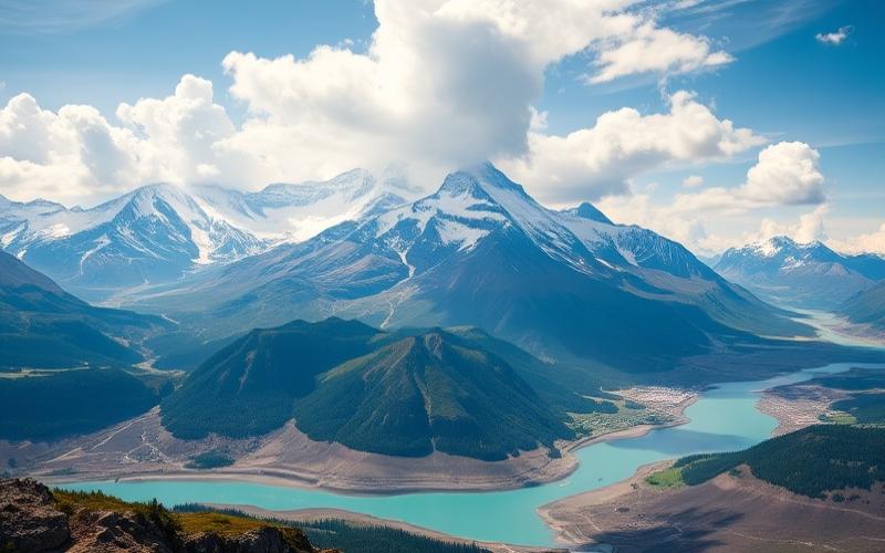
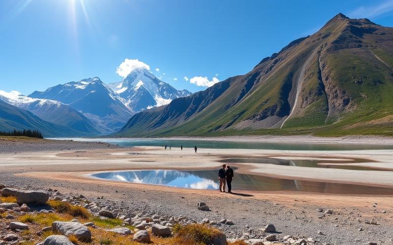
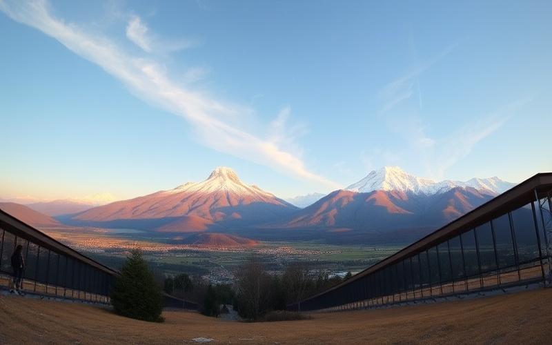
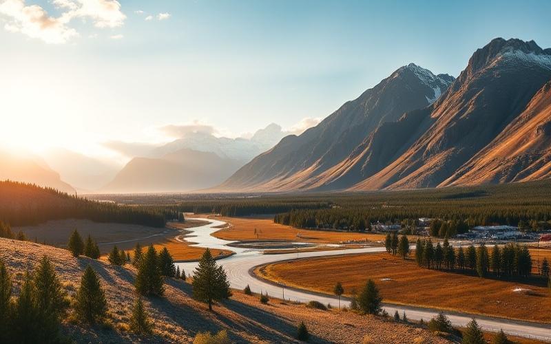
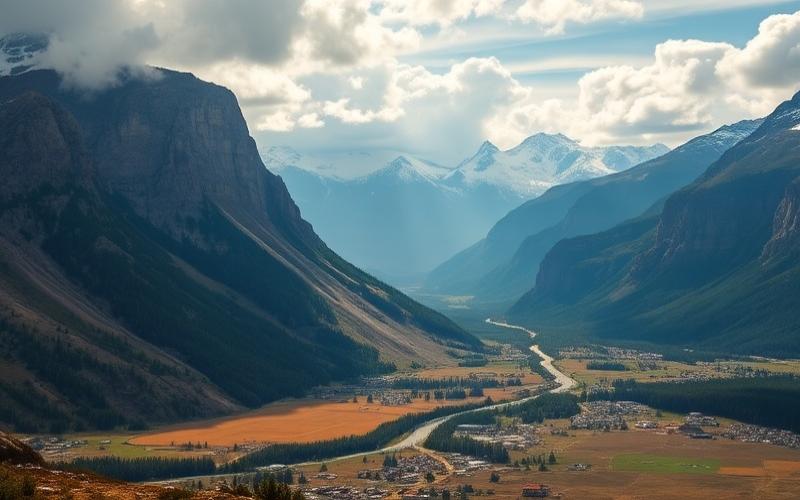
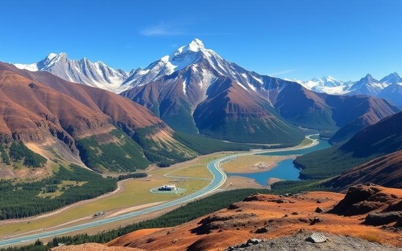
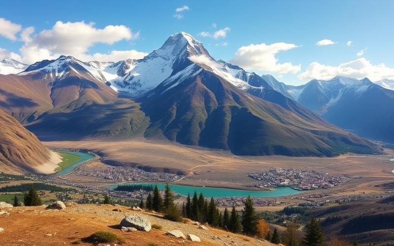
2. The Andean Region
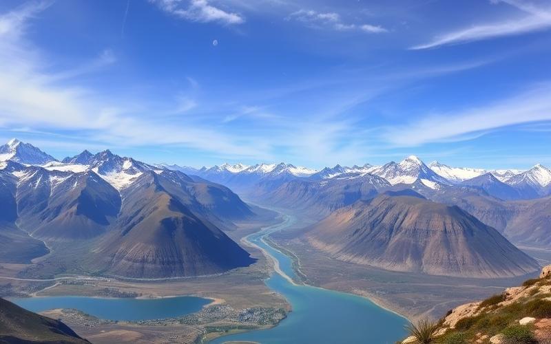
The Andes Mountains stretch along the entire western border of the country. They include the highest point in South America, Mount Aconcagua, which reaches 6,959 meters in altitude.
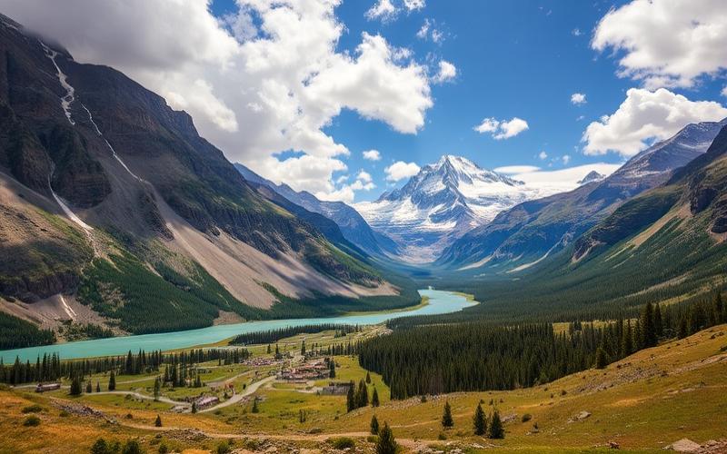
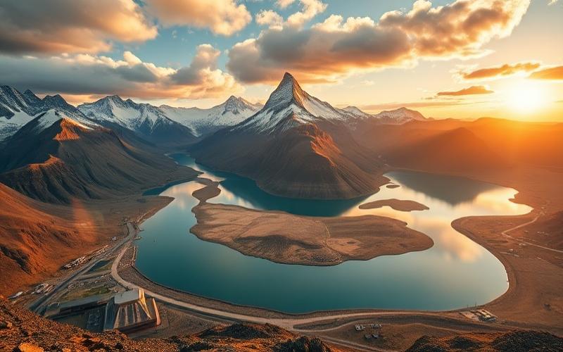
3. Patagonia
Located in the southern part of the country, Patagonia is known for its spectacular landscapes, glaciers, and unique wildlife. It extends over 800,000 km².
4. The Gran Chaco
This subtropical region in the northern part of the country is characterized by plains, forests, and marshes.
5. Mesopotamia
Located between the Paraná and Uruguay rivers, this region includes the famous Iguazu Falls.
6. Tierra del Fuego
This archipelago at the extreme south of the country is separated from the mainland by the Strait of Magellan.
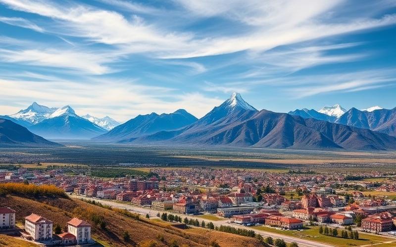
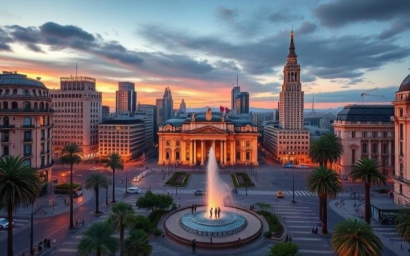
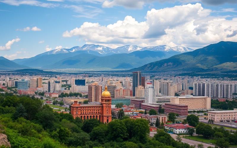
Main Cities
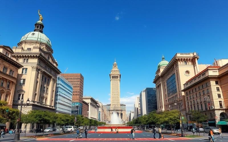
Buenos Aires, the capital, is by far the largest city in Argentina. Its metropolitan area, Greater Buenos Aires, has about 14 million inhabitants, representing nearly one-third of the country’s population.
Other major Argentine cities are:
- Córdoba (1.4 million inhabitants)
- Rosario (1.3 million inhabitants)
- Mendoza (1 million inhabitants)
- San Miguel de Tucumán (820,000 inhabitants)
- La Plata (730,000 inhabitants)
Notable Geographical Features
Argentina has great diversity in landscapes and climates. It features:
– Snow-capped peaks in the Andes – Glaciers in Patagonia, like the famous Perito Moreno Glacier – Fertile plains in the Pampas – Deserts in the northwest – Subtropical forests in the northeast – Atlantic coastlines stretching nearly 5,000 km
Good to know:
Argentina is the 8th largest country in the world by area. Its geographical diversity makes it a prime destination for nature and adventure enthusiasts.
Conclusion
Argentina’s geography is a true asset for the country, offering a variety of landscapes and climates that contribute to its natural wealth and tourist appeal. From the Pampas to the Andes, through Patagonia and Iguazu Falls, Argentina presents a range of geographical discoveries that are sure to fascinate visitors.
Disclaimer: The information provided on this website is for informational purposes only and does not constitute financial, legal, or professional advice. We encourage you to consult qualified experts before making any investment, real estate, or expatriation decisions. Although we strive to maintain up-to-date and accurate information, we do not guarantee the completeness, accuracy, or timeliness of the proposed content. As investment and expatriation involve risks, we disclaim any liability for potential losses or damages arising from the use of this site. Your use of this site confirms your acceptance of these terms and your understanding of the associated risks.
Cyril Jarnias is an independent expert in international wealth management with over 20 years of experience. As an expatriate himself, he is dedicated to helping individuals and business leaders build, protect, and pass on their wealth with complete peace of mind.
On his website, cyriljarnias.com, he shares his expertise on international real estate, offshore company formation, and expatriation.
Thanks to his expertise, he offers sound advice to optimize his clients' wealth management. Cyril Jarnias is also recognized for his appearances in many prestigious media outlets such as BFM Business, les Français de l’étranger, Le Figaro, Les Echos, and Mieux vivre votre argent, where he shares his knowledge and know-how in wealth management.