Published on and written by Cyril Jarnias
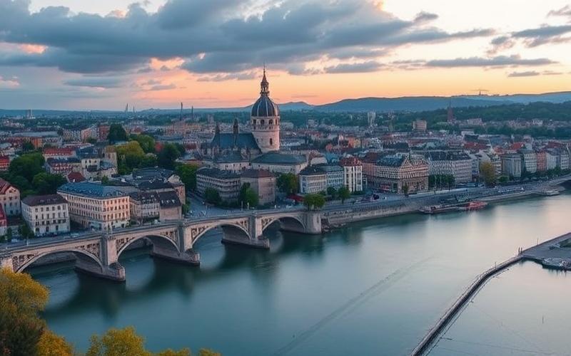
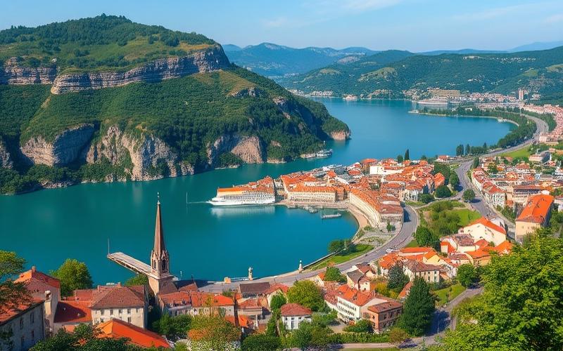
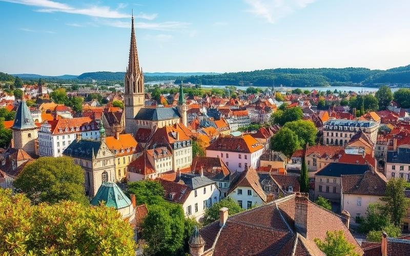
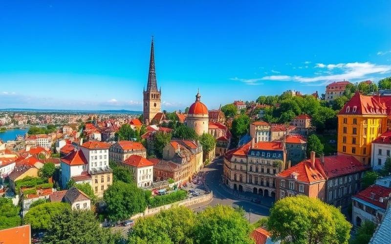
The geography of the country of France is far more expansive than the simple hexagonal map image we all have in mind. Between Atlantic plains, Alpine ranges, Mediterranean deltas, and vast overseas forests, French territory forms a veritable concentration of natural environments, climates, and landscapes among the most varied in the world. This diversity largely explains the country’s agricultural power, the extent of its maritime domain, but also the environmental challenges it faces.
A Multiple Territory: From the “Hexagon” to Overseas Confetti
When discussing the geography of the country of France, one spontaneously thinks of metropolitan France, that “Hexagon” situated in Western Europe. But French territory extends far beyond this framework.
Metropolitan France extends roughly between latitudes 41°19’ N and 51°04’ N, about 1,000 km from north to south and east to west. It covers approximately 551,500 km², within a total national territory of about 643,800 to 674,800 km² depending on whether certain zones and associated territories are included or not. On a global scale, the country ranks around 40th by area, but remains the largest state in continental European Union.
Metropolitan France is located in Europe, bordered by the North Sea, the English Channel, the Atlantic, and the Mediterranean, and shares nearly 4000 km of land borders with eight countries (Belgium, Luxembourg, Germany, Switzerland, Italy, Monaco, Andorra, Spain). Through French Guiana, it also borders Brazil and Suriname. The country also possesses numerous overseas territories spread across the Atlantic, the Caribbean, the Indian Ocean, the Pacific, and the Southern Seas, such as Guadeloupe, Martinique, Réunion, French Polynesia, or New Caledonia, giving it a global geographic presence.
This dispersion gives France a discreet but colossal asset: a maritime domain of around 10.7 to 11 million km², one of the two largest in the world. Approximately 97% of these marine areas depend on overseas territories. In total, waters under French jurisdiction represent more than a third of the combined land/sea surface of the country, making French geography both continental and oceanic.
Key Figures of the Territory
Without complex charts or graphs, a few orders of magnitude are enough to grasp the geographic scale of France:
| Indicator | Approximate Value |
|---|---|
| Total area (Entire France) | 643,800 to 674,800 km² |
| Metropolitan France area | ≈ 551,500 km² |
| Overseas area | ≈ 120,000 km² |
| Length of land borders | ≈ 3,960 – 4,200 km |
| Length of metropolitan coasts | ≈ 3,400 – 5,500 km (depending on perimeter) |
| Total coastline length (with overseas) | ≈ 20,000 km |
| Maritime domain (EEZ) | ≈ 10.7 to 11 million km² |
| Total population | ≈ 68 to 69 million inhabitants |
These already impressive figures only make sense when placed within the physical structure of the territory: relief, basins, climates, land use.
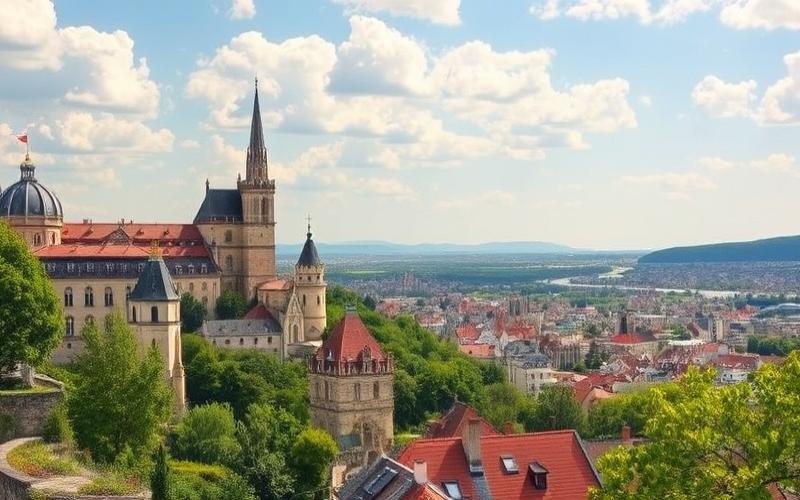
Relief and Major Physical Regions: A Puzzle of Mountain Ranges and Basins
The geography of the country of France is first based on a contrasting physical foundation. A largely flat northern and western half, a southern and eastern rim dominated by mountain ranges.
On a large scale, geographers distinguish several physical ensembles:
– the ancient Hercynian massifs (Armorican Massif, Massif Central, Vosges, Ardennes);
– the younger mountains (Alps, Pyrenees, Jura);
– the great basins and plains (Paris Basin, Alsace Plain, Aquitaine Basin, Loire plains, Flanders, etc.).
The Architecture of the Hexagon: Ancient Massifs and Young Mountains
The so-called “Hercynian” massifs are very ancient reliefs, resulting from folded chains that were eroded and sometimes uplifted again. They include:
Metropolitan France has several ancient massifs, remnants of eroded mountain chains. The Massif Central, the largest, covers about 15% of the territory and features a volcanic landscape carved with plateaus, gorges, and domes like Puy de Sancy (1,885 m) or the Chaîne des Puys. The Armorican Massif structures the West with modest altitudes but a characteristic landscape. The Vosges, with their rounded sandstone and granite relief, peak at Grand Ballon (1,424 m) and offer forested ridges and glacial lakes. Finally, the Ardennes form a wooded and rugged extension towards the northeast.
More recent, the Alps and the Pyrenees constitute true natural barriers, resulting from later tectonic collisions (Alpine orogeny). The Alps, in the east, dominate the panorama with Mont Blanc (approx. 4,810 m), the highest peak in Western Europe. They are subdivided into Northern and Southern Alps, host several national parks (Vanoise, Écrins, Mercantour), and feed major rivers like the Rhône and Durance.
The Pyrenees close off the south, from the Atlantic shores to the Mediterranean, with a string of peaks (Vignemale 3,298 m on the French side), glacial cirques (Gavarnie, a World Heritage site), and spectacular gorges. They separate France from Spain and shelter the principality of Andorra in their folds.
Altitude in meters of the highest point in the Jura range, Crêt de la Neige.
Finally, Corsica, a mountainous Mediterranean island, extends this relief structure offshore: two-thirds of its surface is mountainous, with more than twenty peaks exceeding 2,000 m, including Monte Cinto at 2,710 m, above landscapes of maquis, Corsican forests, and steep shores.
Basins and Plains: The Kingdom of Great Rivers
Between these reliefs, the great sedimentary depressions structure the geography of the country of France. The Paris Basin, a vast basin of soft rocks, extends over a large part of the north and center. It is a mosaic of loamy plateaus, basins, and valleys largely cultivated, drained by the Seine and its tributaries. Further southwest, the Aquitaine Basin, around the Garonne and Dordogne, offers warmer plains, gravelly terraces with vines, and, towards the ocean, the dunes and moors of Gascony.
These major physical ensembles can be summarized in a simple table:
| Physical Ensemble | Main Characteristics |
|---|---|
| Massif Central | High plateaus, extinct volcanoes, source of many rivers |
| Alps | Highest range, glaciers, national parks, winter sports |
| Pyrenees | Southern barrier, cirques, steep valleys, pastoralism |
| Jura | Folded limestone ridges, valleys, dry valleys, lakes |
| Vosges | Rounded summits (ballons), forests, glacial lakes |
| Armorican Massif | Worn-down relief, bocage, rocky coasts |
| Paris Basin | Loamy plateaus, major cereal farming, Seine |
| Aquitaine Basin | Garonne-Dordogne valleys, vineyards, moors and dunes |
| Alsace Plain | Dry corridor sheltered by the Vosges, vineyards, Rhine |
This network of massifs and basins conditions circulation, population distribution, but above all the organization of river systems.
The Country of Rivers: Loire, Seine, Rhône, Garonne and Their Basins
France is literally structured by water. Geographers distinguish several major hydrographic systems, articulated around rivers that often give their names to regions and departments.
The Great Rivers That Shape the Territory
In French, rivers that flow directly into the sea are called fleuves. Six major systems dominate: Loire, Seine, Rhône, Garonne, Dordogne and Meuse, to which the Rhine is added for the eastern facade.
The Loire, at about 1,000 km, is the country’s longest river. It rises on the volcanic slopes of the Massif Central (Gerbier de Jonc) and crosses France from east to west, from Nevers to Orléans, Tours, Angers, and Nantes before joining the Atlantic at Saint-Nazaire. Its basin, with its unpredictable floods and shifting sandbanks, is often presented as Europe’s “last great wild river,” and its middle valley between Sully-sur-Loire and Chalonnes is a UNESCO World Heritage site.
The Seine rises in Côte-d’Or, crosses the Paris Basin, watering Troyes, Paris, and Rouen, then flows into the English Channel between Le Havre and Honfleur. At a length of about 776 km, it deeply structures the urban and economic geography of northern France.
The Rhône, originating from an Alpine glacier in Switzerland, crosses Lake Geneva, then enters France, receives the Saône at Lyon, heads towards the Mediterranean, cutting through plateaus, irrigating the Rhône corridor valley, and forming an iconic delta: the Camargue. It is a major artery for hydroelectricity, irrigation, and river transport.
The Garonne, coming from Spain, crosses Toulouse and Bordeaux before merging with the Dordogne to form the Gironde estuary. Together, the Garonne and Dordogne drain the Aquitaine Basin.
It partly serves as a border with Germany for about 160 to 190 km and opens France towards the industrial heart of Central Europe.
The Rhine, the European river par excellence
A simple way to locate the longest waterways is to put them into perspective:
| Rank | Watercourse (France) | Length in French territory (km) |
|---|---|---|
| 1 | Loire | ≈ 1,006 |
| 2 | Seine | ≈ 776 |
| 3 | Rhône | ≈ 544 in France (813 total) |
| 4 | Garonne | ≈ 529 in France (575 total) |
| 5 | Marne | ≈ 514 |
| 6 | Meuse | ≈ 463 in France |
| 7 | Lot | ≈ 485 |
| 8 | Dordogne | ≈ 483 |
| 9 | Saône | ≈ 473 |
| 10 | Allier | ≈ 421 |
These rivers and their tributaries cover more than 60% of the metropolitan area and irrigate most major cities, from the cereal plains of Beauce to the Bordeaux vineyards, via the industrial valleys of Alsace.
Hydraulic Network, Lakes, and Canals: A Mesh Framework
In addition to the rivers, there is a myriad of smaller rivers (Somme, Charente, Adour, Vilaine, Tarn, Lot, etc.), lakes of glacial origin (Bourget, Annecy, Vosges lakes), volcanic origin (lakes of the Massif Central), or artificial reservoirs (Serre-Ponçon on the Durance, Bort-les-Orgues, Sarrans).
A dense network of canals, developed from the 17th to the 20th century, links these basins: Canal du Midi between the Garonne and the Mediterranean, Burgundy Canal between the Yonne and Saône, connection canals towards the Rhine or the Meuse. These infrastructures, sometimes now converted for tourism, remain a key element in the geography of trade.
Climate: A Temperate Country with Many Faces
Located in the temperate zone, France is far from a homogeneous climatic block. The combination of latitude–relief–proximity to the sea creates a patchwork of climates usually grouped into major families.
Five Major Climate Types in Metropolitan France
Climatologists such as Météo-France or university studies distinguish five major climate regimes for metropolitan France:
– Oceanic climate: dominant in the west (Brittany, Normandy, Atlantic coast), characterized by moderate temperatures, frequent rain year-round, cool summers, and relatively mild winters;
– Continental climate: more present in the east and center (Alsace, Lorraine, interior zones), with colder winters, hotter summers, and generally less abundant precipitation;
– Mediterranean climate: confined to the southeast (Provence, Languedoc, Côte d’Azur), with hot, dry summers, mild, humid winters, and sometimes violent rainfall episodes in autumn;
– Mountain climate: specific to the Alps, Pyrenees, Massif Central, Jura, with temperatures dropping and precipitation (including snow) increasing with altitude;
– Modified oceanic climate: a transition zone between oceanic and continental/mountain, where thermal contrasts are more marked and rainfall is distributed differently.
In addition to the major climate types, France exhibits significant regional nuances. The center and northeast, notably the eastern Paris Basin and the Alsace Plain, experience a climate described as “semi-continental.” Meanwhile, subméditerranean influences are perceptible along the Rhône corridor.
Marked Regional Contrasts
Thus, the Paris Basin has a climate intermediate between oceanic and continental: fairly cool winters, temperate to warm summers, moderate rainfall spread throughout the year. Conversely, the Aquitaine Basin lives under a hybrid oceanic-Mediterranean influence, with summers becoming hotter and drier as one moves south.
The Rhône corridor acts as a channel, through which the Mediterranean climate extends up to around Montélimar, bringing summer heat and a glacial mistral wind in winter. This same valley is exposed to violent winds: the mistral from the north, and further west the tramontane in the Languedoc region.
Certain French regions exhibit extreme and contrasted precipitation regimes, influenced by relief and maritime proximity.
Sheltered by the Vosges massif, this plain benefits from a foehn effect that significantly reduces precipitation, making it one of the least rainy regions in France.
At the interface of the Massif Central and the Mediterranean, this region experiences extreme rainfall episodes in autumn, the “Cévenol episodes,” which can dump over 200 mm of water in a few hours.
Average climate data well illustrate these contrasts:
| Parameter (metropolitan, 1991–2020) | Average Value |
|---|---|
| Average annual temperature | ≈ 13.0 °C |
| Average January temperature (plains) | ≈ 2 °C (NE) to 9 °C (Riviera) |
| Average July-August temperature (plains) | ≈ 17–18 °C (Channel) to 24–25 °C (Mediterranean) |
| Average annual precipitation | ≈ 935 mm |
| Annual sunshine | 2,500 h (Mediterranean) |
| Warming trend since 1950 | ≈ +0.31 °C per decade |
The mountains, for their part, concentrate the highest precipitation (over 2,000 mm/year in places in the Cantal or Alpine zones) and significantly lower temperatures. Conversely, some interior plains like Eure-et-Loir or certain Mediterranean valleys can receive less than 600 mm/year.
Overseas Climate: From Tropical to Polar
The geography of the country of France is not limited to this temperate climate. The overseas territories introduce an even wider palette:
– Humid equatorial climate in French Guiana, with heat and abundant rainfall year-round above a forest covering more than 90% of the territory;
– Tropical maritime climate in the French Antilles (Guadeloupe, Martinique) or the Indian Ocean (Réunion, Mayotte), alternating wetter and drier seasons;
– Cold oceanic climate in Saint-Pierre-et-Miquelon, in the North Atlantic, with harsh winters and very cool summers;
– Windy and stormy subantarctic climate on the Crozet Islands, Kerguelen, or even extreme polar climate in Adélie Land, Antarctica.
In some of these territories, like French Polynesia, the latitudinal spread is such that climatologists distinguish several climate subtypes within the archipelago itself.
Land Use: An Agricultural, Forested, and Heavily Artificialized Country
Seen from space, metropolitan France appears as a patchwork of fields, forests, cities, and wetlands. Land use statistics highlight the strong rural and agricultural dimension of the country, but also the rapid progression of urbanization.
Agriculture, Forests, Cities: The Distribution of Spaces
In metropolitan France, about half of the surface is used for agriculture: agricultural land (permanent grassland, arable crops, orchards, vineyards) covers around 26.7 million hectares, or nearly 49% of the metropolitan area according to the 2020 agricultural census. World Bank figures converge towards an estimate of just over 50% of national land in agricultural use.
In parallel, metropolitan forests occupy nearly 17 million hectares, or about 31% of the territory. This is one of the highest proportions in Europe, constantly increasing since the 19th century (they covered about 9 million hectares around 1840). These forests are mostly private (about three-quarters), with a great diversity of species (oaks, beeches, pines, firs, spruces, chestnuts, etc.).
The rest of the space is shared between wetlands, open natural environments (moors, scrubland), water bodies, and artificialized spaces (built-up areas, roads, industrial or commercial zones). In metropolitan France, it is estimated that about 8% of land is artificialized, a proportion that continues to increase despite political goals of “zero net artificialization.”
Combining these components gives a simplified portrait:
| Land type (metropolitan, order of magnitude) | Share of Surface |
|---|---|
| Agricultural land (crops, grasslands) | ≈ 49–52 % |
| Forests and wooded areas | ≈ 31 % |
| Other natural environments (moors, scrubland, water) | ≈ 10–12 % |
| Artificialized zones (urban, roads, etc.) | ≈ 6–8 % |
Overseas, the pattern is completely different: French Guiana, for example, has only a tiny portion of agricultural land (less than 1% of the territory), while the Amazonian rainforest covers over 90% of the surface. In Mayotte or Réunion, demographic pressure and territorial exiguity produce other balances, with denser urbanized and agricultural zones.
A Regional Mosaic of Land Uses
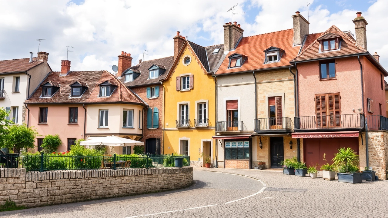
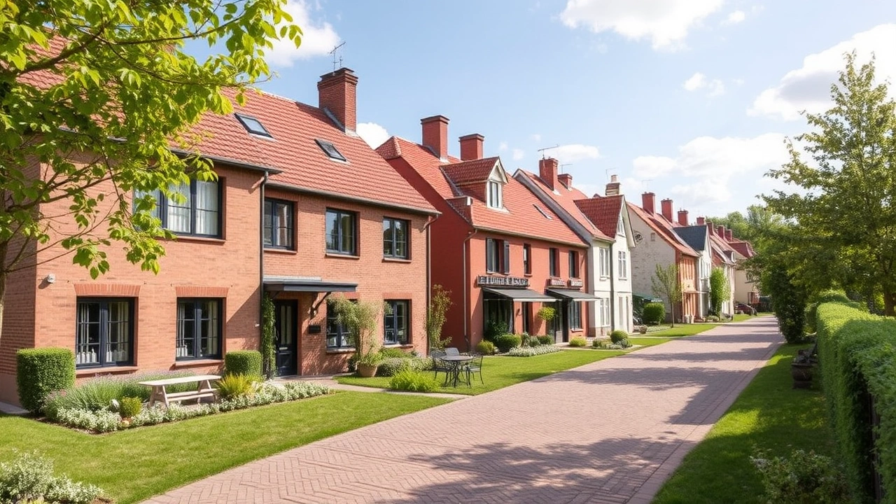
Land use varies greatly from one region to another. The loamy plains of the Paris Basin and Picardy are dominated by large-scale cereal and oilseed crops, with few hedges and a very reduced bocage landscape. Normandy or some areas of the west, on the contrary, remain marked by permanent grasslands and bocage, supporting cattle rearing.
Calcareous soils, as in Champagne or Poitou-Charentes, favor large-scale crops and vines on gravelly terrain. In the Mediterranean region, valleys and foothills are dominated by perennial crops (vines, olive trees, orchards), while dry plateaus are often forested or covered in scrubland.
In the ancient massifs (Massif Central, Vosges, inland Brittany), poorer and more acidic soils favor forests or permanent grazing pastures. Sandy moorland regions like the Landes de Gascogne were planted with maritime pines to stabilize dunes and develop a forestry sector.
This diversity of environments and uses is at the heart of French rural geography and also partly explains the richness of biodiversity… as well as its fragility.
A Territory of High Natural Value Under Strong Pressure
The geography of the country of France covers an extraordinary variety of environments: snow-capped mountains, deltas, bocage, temperate forests, coral reefs, mangroves, equatorial forests. This biological diversity is reflected in the figures: the country hosts about two-thirds of the habitat types of community interest in Europe and ranks among the states with the most threatened species on the IUCN Red List.
Exceptional Biodiversity, Rapid Decline
The overseas territories gather about 80% of French biodiversity, with tropical, insular, or reef flora and fauna often endemic. In metropolitan France, the variety of climates and reliefs, from the Breton coast to the Alps, allows the coexistence of thousands of species of plants, insects, birds, and mammals.
More than 2,700 species are currently threatened on French territory, a quarter of which exist nowhere else.
Artificialization (about 8% of metropolitan land already artificialized) progresses at the expense of grasslands, wetlands, and open environments: nearly 60,000 hectares of natural grasslands are estimated to have been lost to urbanization between 1990 and 2018. At sea, nearly half of the fish stocks exploited by France are considered overexploited.
Protected Areas and Restoration Strategies
Faced with this observation, France has expanded its network of protected areas. By 2025, approximately 31.3% of the territory (land and sea) was covered by some form of protection. In metropolitan France, there are national parks, regional natural parks, nature reserves, Natura 2000 sites, etc. In total, over 6,000 protected areas were recorded in the Hexagon and its waters in 2023.
France aligns with the global Kunming-Montreal framework by aiming to protect at least 30% of its lands and seas by 2030, including 10% under strict protection. This objective includes specific targets for the full protection of overseas coral reefs, Mediterranean posidonia seagrass beds, and glaciers.
In parallel, an ecological restoration strategy focuses on rehabilitating 50,000 hectares of wetlands by 2026, planting a billion trees over the decade, and recreating 50,000 km of bocage hedgerows by 2030. In other words, the geography of the country of France tomorrow should incorporate more ecological corridors and green and blue networks to reconnect fragmented environments.
The Geography of a Changing Climate: Warming, Water, Risks
Beyond average climate data, France is feeling the full effects of climate change. The average warming of about 0.31 °C per decade in metropolitan France since the mid-20th century is already visible in the landscape and land uses.
Temperatures, Snow, Glaciers: The Frontline of the Relief
The Alpine and Pyrenean glaciers are clearly retreating: Mont Blanc itself, symbol of the French Alps, shows signs of accelerated melting. Seasonal snowpacks are shrinking, affecting both hydrology (less winter storage) and economic activities like skiing. In the Pyrenees, deglaciation began about 15,000 years ago, but the current trend is of unprecedented speed on a historical scale.
Episodes of heatwaves are becoming more frequent and more intense, with temperature records regularly being reached in plains as well as mountains. At the other extreme, some winters still show cold waves, but for generally shorter durations.
Water, the Geographical Nerve of the 21st Century
The water resource is another mirror of the upheavals. Measurements indicate a decrease of about 14% in renewable water resource volumes between the period 1990–2001 and 2002–2022. Soil droughts affect a growing portion of the territory and last later into the season.
Between 2012 and 2022, at least 30% of French territory was subject to water restrictions on eight occasions.
These tensions weigh on the geography of irrigation, crops, and urban supply. The western part of the country, long reputed to be well-watered, now appears vulnerable for water access, while the south, particularly the Mediterranean, increasingly faces shortages. Paradoxically, these same Mediterranean regions remain the most exposed to episodes of torrential rain, capable of causing flash floods and inundations.
Annual volume of freshwater withdrawals in France, excluding hydropower, of which more than half is used for cooling power plants.
Coasts and Seas: A Shifting Geography
With nearly 20,000 km of coastline including overseas, France is particularly exposed to sea level rise and coastal erosion. In metropolitan France, portions of the Atlantic and Mediterranean coastlines are receding, threatening infrastructure, villages, and tourist areas. Deltas like the Camargue are vulnerable to submersion, as are some low-lying islands.
In Brittany, the proliferation of green algae on some beaches has become a visible marker of pollution from nutrients originating in agricultural watersheds. In the wider marine domain, between 17,000 and 88,000 floating microplastics per km² have been recorded around metropolitan France between 2015 and 2020, a sign of diffuse but massive pollution.
Administrative Organization and Human Geography
The geography of the country France is not just about relief, climates, and rivers; it is also expressed through administrative divisions, urban networks, and population dynamics.
Regions, Departments, Communes: The Administrative Mesh
Since the 2016 territorial reform, metropolitan France has 13 administrative regions (Hauts-de-France, Île-de-France, Grand Est, Bourgogne-Franche-Comté, Auvergne-Rhône-Alpes, Provence-Alpes-Côte d’Azur, Occitanie, Nouvelle-Aquitaine, Centre-Val de Loire, Pays de la Loire, Bretagne, Normandie, Corsica with special status). Five additional regions are located overseas (Guadeloupe, Martinique, French Guiana, Réunion, Mayotte).
French territory is structured into several administrative levels: it comprises regions, subdivided into 101 departments. These departments are themselves organized into arrondissements and cantons, and at the most local level, there are nearly 36,000 communes. This very fine structure reflects an ancient demographic history and a strong local anchoring of populations. However, this multiplicity of levels can also represent a challenge for territorial management and the implementation of planning policies.
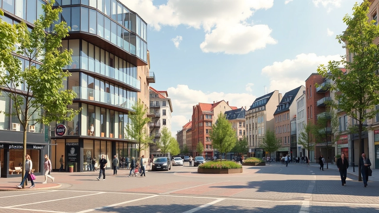
A Predominantly Urban Country, But Still Largely Rural
About 80% of the population lives in areas classified as urban, but these cover only a small fraction of the territory. Conversely, it is estimated that about 28% of French people reside in areas qualified as “rural”, which represent nearly 330,000 km², or a majority of the metropolitan space.
France’s major metropolitan areas concentrate around a limited number of major hubs, including Paris, Lyon, Marseille-Aix, Toulouse, Lille, Bordeaux, Nantes, Nice, Strasbourg, Rennes, Grenoble, and Montpellier. Their footprint is mapped using statistical vocabulary (urban areas, urban units, poles, and suburban rings), revealing vast living basins structured by transport networks.
Paris and its region illustrate the complexity of this human geography: the city of Paris alone has just over 2 million inhabitants on 105 km², but its urban area extends over more than 17,000 km², with about 13 million inhabitants. The new Greater Paris Metropolis, created in 2016, brings together a territory of over 800 km² and nearly 7 million people.
Geography, Resources, and Energy: A Territory Under Constraints
The distribution of natural resources and energy infrastructure is another important aspect of the geography of the country France.
A Subsoil Relatively Poor in Fossil Fuels
Despite a long mining history, France today is largely dependent on imports for its mineral and energy raw materials. The old coal mines (Lorraine, Nord-Pas-de-Calais, Massif Central, etc.) have closed, the last ceasing operations in 2004. Uranium extraction, long concentrated in the Massif Central, also ended in 2001.
France maintains a few operations for resources like salt, gypsum, aggregates, talc, and mica. However, its strategy is mostly shifting towards recycling and importing raw ores, which are then processed by its national industry.
In this context, the geographic distribution of the few known critical resources (monazites enriched in rare earths in certain shales of Brittany or the Massif Central, various indications of critical metals) is the subject of new prospecting, concentrated on a few priority zones (west of the Massif Central, Morvan, Vosges, Cévennes, French Guiana).
An Energy Geography Dominated by Nuclear and Hydropower
The French energy landscape is deeply marked by the decision, taken after the oil shocks, to bet on nuclear power. Today, more than half of the electricity produced in France comes from 56 reactors spread over about twenty sites, along major rivers (Rhône, Loire, Seine, Garonne) or on the coast. This concentration explains part of the country’s industrial geography and conditions water use, a significant portion of surface water withdrawals being used for cooling power plants.
Hydropower is the second largest source of renewable energy in France. It relies on facilities located in the Alps, the Pyrenees (dams on the Durance, Isère, Dordogne), but also in mid-mountain and foothill areas (Creuse, Lot). These dams transform valley and gorge landscapes and play a structuring role for the economy of entire regions.
Wind farms concentrate on the windiest sectors (high plateaus of the north and east, plain corridors) and solar power is deployed mainly in the sunnier south, but also on rooftops and industrial brownfields almost everywhere. Again, the geography of natural resources (wind, sun, slopes, rivers) combines with planning choices and local constraints.
Mobility and Networks: A Geography Centered on Paris, Irrigated by Rivers and Valleys
Transport infrastructure reflects in their own way the geography of the country of France. The road network (nearly a million kilometers), highways (about 12,000 km), 30,000 km of national roads, and 365,000 km of departmental roads mainly grid the plains and valleys, often following major rivers or crossing mountain ranges through a few major passes.
The French rail network extends about 30,000 kilometers, structured in a star pattern around Paris since the 19th century.
Rivers and canals remain, for their part, transport axes, but also supports for urban redevelopment (quays, promenades, inland ports). The major seaports — Le Havre and Rouen on the Seine, Marseille-Fos on the Mediterranean, Dunkirk, Nantes–Saint-Nazaire, Bordeaux — are organized based on estuaries, natural sheltered bays or roadsteads, and available depths.
This organization contributes to drawing a mental map of the country: north-south axes (Rhône valley, Autoroute du Soleil, Atlantic corridor), transverse arcs (Brittany–Paris, Mediterranean Arc), and major hubs (Île-de-France, Lyon, Toulouse, Lille, Strasbourg).
Conclusion: A Geography Under Tension, Between Assets and Vulnerabilities
The geography of the country of France appears, in light of these different aspects, as a singular assemblage of strengths and fragilities.
Strengths, because the territory combines:
– a great diversity of temperate and tropical climates;
– varied relief, conducive to agriculture, tourism, and hydropower;
– an immense maritime domain;
– largely fertile soils, supporting the EU’s leading agricultural power;
– exceptional biodiversity, especially thanks to overseas territories.
Fragilities, because these same assets are subject to several pressures:
Climate warming is reorganizing water resources and threatening mountain activities. Artificialization and fragmentation of environments are progressing, notably in plains and on coasts. Air and water pollution have concrete health and ecological impacts. Finally, the country remains dependent on imports for many mineral and energy resources.
Facing these challenges, France has launched a series of strategies: carbon neutrality by 2050, protection of at least 30% of land and marine territory by 2030, halving pesticide use, zero net artificialization goals, deployment of renewable energies, restoration of wetlands and hedgerows.
Environmental policies and collective choices do not just modify emissions or protected areas. They actively redraw the map of the country, its landscapes, land use, ecological corridors, and infrastructure. The geography of France is evolving rapidly under the combined effect of nature, human activities, and societal decisions.
In the coming decades, understanding this geography — its reliefs, its rivers, its climates, its soils, its cities, and its seas — will be more than ever a condition for inhabiting, exploiting, and protecting one of the most complex and rich territories on the planet.
A 62-year-old retiree, with a financial estate exceeding one million euros well-structured in Europe, wanted to relocate his tax residence to France to secure his legal framework, optimize his taxable burden via regimes favorable to foreign-source income, and diversify his investments, while maintaining some links abroad. Allocated budget: 10,000 euros for complete support (international tax advice, administrative formalities, relocation and asset structuring), without forced asset sales.
After analyzing several possible configurations (remaining abroad, non-resident status, return to France with different regimes), the chosen strategy involved targeting France as the state of residence to benefit from its extensive tax treaty network, strong legal protection, and facilitated access to the French financial and real estate ecosystem. The mission included: pre-residentialization tax audit (exit tax, tax deferral), choice of location in France (local regime, real estate taxation), coordination with Social Security / CPAM, transfer of banking residence, tax residence requalification plan (183 days/year, center of economic interests), connection with a local network (lawyer, notary, real estate experts) and asset integration (analysis and potential restructuring of investments and estate planning).
Planning to move abroad? Contact us for custom offers.
Disclaimer: The information provided on this website is for informational purposes only and does not constitute financial, legal, or professional advice. We encourage you to consult qualified experts before making any investment, real estate, or expatriation decisions. Although we strive to maintain up-to-date and accurate information, we do not guarantee the completeness, accuracy, or timeliness of the proposed content. As investment and expatriation involve risks, we disclaim any liability for potential losses or damages arising from the use of this site. Your use of this site confirms your acceptance of these terms and your understanding of the associated risks.
Cyril Jarnias is an independent expert in international wealth management with over 20 years of experience. As an expatriate himself, he is dedicated to helping individuals and business leaders build, protect, and pass on their wealth with complete peace of mind.
On his website, cyriljarnias.com, he shares his expertise on international real estate, offshore company formation, and expatriation.
Thanks to his expertise, he offers sound advice to optimize his clients' wealth management. Cyril Jarnias is also recognized for his appearances in many prestigious media outlets such as BFM Business, les Français de l’étranger, Le Figaro, Les Echos, and Mieux vivre votre argent, where he shares his knowledge and know-how in wealth management.