Published on and written by Cyril Jarnias
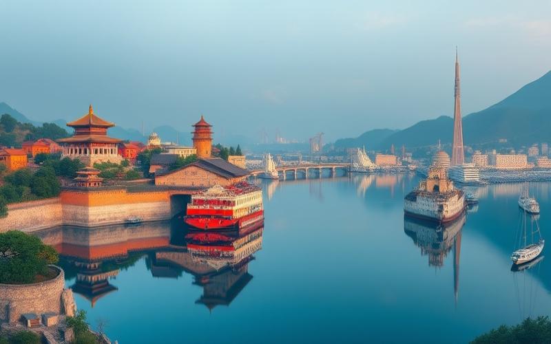
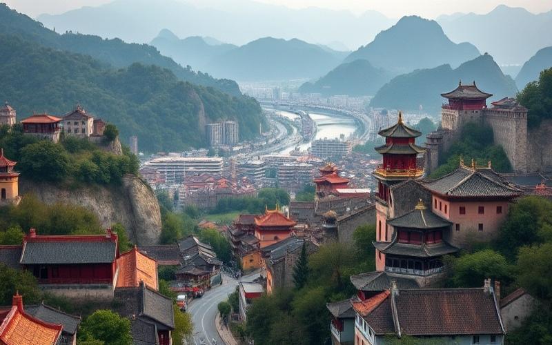
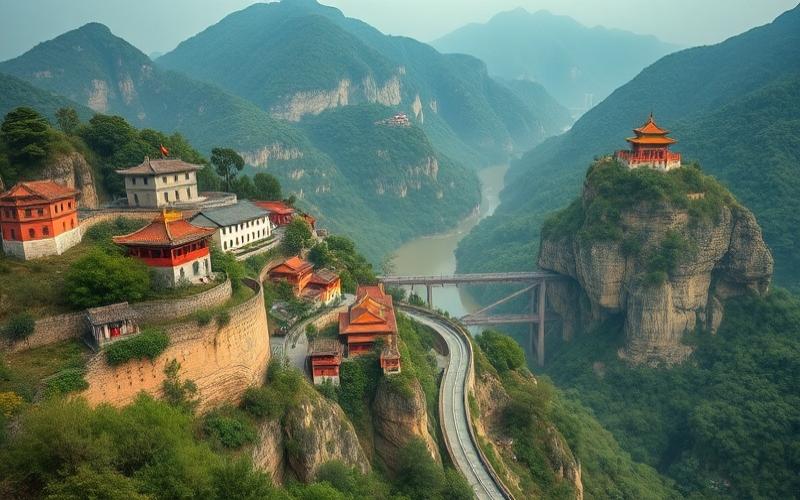
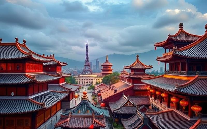
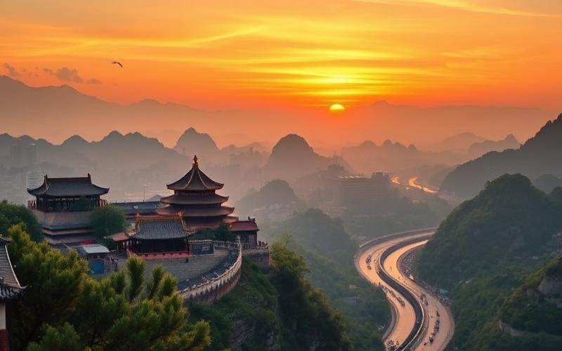
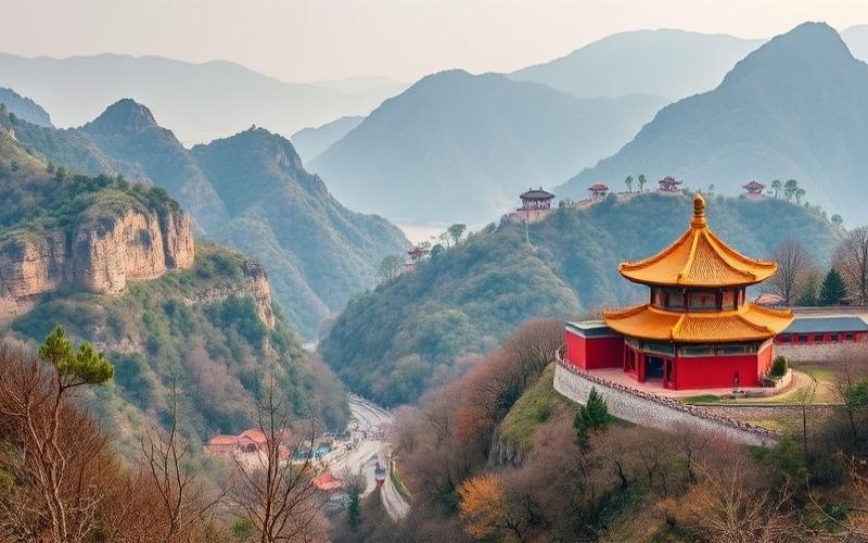
Spanning over 9.6 million square kilometers, China is a country of stunning geographical diversity, ranging from the vast steppes of Inner Mongolia to the towering Himalayas and the golden sand beaches of the South China Sea.
Exploring its geography reveals varied landscapes such as the Taklamakan Desert, the lush terraced rice fields of the southern regions, and the enigmatic Tibetan Plateau often called the “Roof of the World.”
Each of these regions offers not only distinct physical characteristics but also unique cultural richness manifested through local customs, dialects, and traditions, making the discovery of this territory fascinating both naturally and humanly.
Geography and Location of China
Area and Global Ranking
China covers an area of approximately 9,600,000 km², making it the fourth largest country in the world by total area, after Russia, Canada, and the United States. According to some calculations, it can also be considered the third largest country in the world.
It is the largest country in East Asia.
Main Geographical Features
One-third of Chinese territory is covered by mountains.
It is home to Mount Everest (8,848 m), the world’s highest peak, on the border with Nepal.
Main Plateaus
- Tibetan Plateau: the world’s largest and highest.
- Loess Plateau: in the north, characterized by its fertile wind-blown soils.
Major Plains
- North China Plain: agricultural heartland and heavily populated.
- Yangtze River Valley Plain: area of rice paddies and intense urbanization.
Deserts
- Gobi Desert in the north.
- Taklamakan Desert in the west.
Land Borders and Neighbors
China shares land borders with 14 countries, a world record:
- Afghanistan
- Bhutan
- Burma (Myanmar)
- India
- Kazakhstan
- Kyrgyzstan
- Laos
- Mongolia
- Nepal
- North Korea
- Pakistan
- Russia
- Tajikistan
- Vietnam
| China’s Neighboring Countries |
|---|
| Afghanistan |
| Bhutan |
| Burma |
| India |
| Kazakhstan |
| Kyrgyzstan |
| Laos |
| Mongolia |
| Nepal |
| North Korea |
| Pakistan |
| Russia |
| Tajikistan |
| Vietnam |
Major Rivers and Their Importance
- Yangtze (Chang Jiang): longest river in Asia (6,300 km), major economic artery and third longest river in the world. It irrigates the most fertile plains and supplies many cities, including Shanghai.
- Yellow River (Huang He): historical cradle of Chinese civilization; important for agriculture but also subject to devastating floods.
- Xi River: flows through the southern part of the country and contributes to the economic dynamism of the Pearl River Delta, around Guangzhou.
- Amur River (Heilong Jiang): natural border with Russia in the northeast.
Regional Climate Variations
- Northeast: continental climate with long, cold winters and short, hot summers.
- Northwest: desert or semi-arid climate, large temperature ranges.
- South: subtropical to tropical climate, long summers, mild winters, abundant rainfall.
- Tibetan Plateau: high-altitude climate, cold year-round.
- Eastern Coasts: monsoon climate, alternating dry and wet seasons.
Major Cities and Important Geographical Regions
| City/Region | Location | Main Characteristic |
|---|---|---|
| Beijing | Northeast | Political and cultural capital |
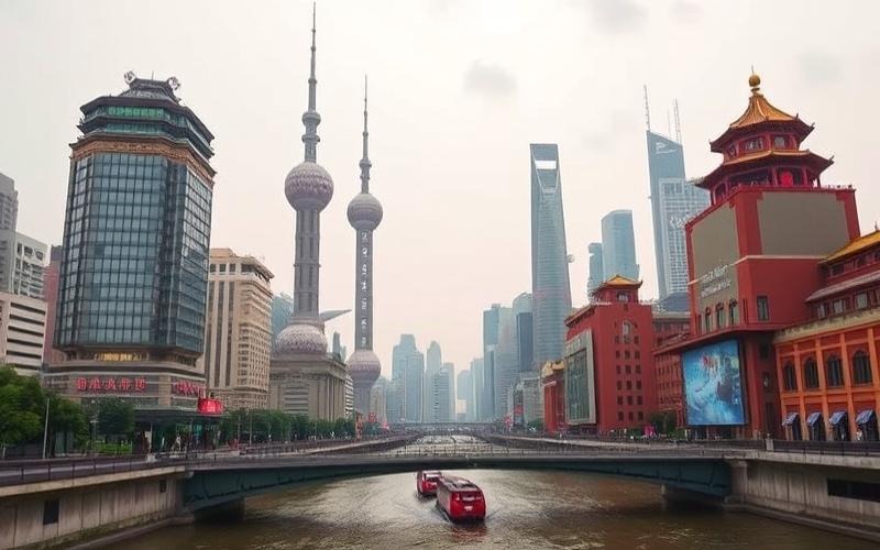
| Shanghai | East (coast) | Largest city, economic center |
| Guangzhou | South | Industrial and commercial hub |
| Shenzhen | South, near Hong Kong | High-tech city, special economic zone |
| Chongqing | Central-southwest | Industrial megacity on the Yangtze |
| Wuhan | Central-east | Transportation hub, on the Yangtze |
| Hong Kong | Southeast, island and peninsula | Special Administrative Region, financial center |
| Macao | South, southern coast | Special Administrative Region, tourist center |
| Xi’an | Central-north | Ancient historical capital, starting point of the Silk Road |
| Chengdu | Southwest | Capital of Sichuan, panda culture center |
Island Territories and Geographical Particularities
- Main Islands: Hainan (south), Zhoushan, and many archipelagos in the South China Sea.
- Hong Kong and Macao: island and peninsula territories, special administrative statuses.
- Unique feature: China spans five time zones but uses only one official time zone (Beijing Time) across the entire territory.
- Presence of vast inhospitable regions (deserts, high plateaus) and densely populated coastal areas.
Visual Summary
| Type of Terrain | Examples/Location |
|---|---|
| Mountains | Himalayas, Tian Shan, Kunlun |
| Plateaus | Tibet, Loess |
| Plains | North China, Yangtze Valley |
| Deserts | Gobi, Taklamakan |
| Major Rivers | Yangtze, Yellow River, Xi River |
| Main Islands | Hainan, Hong Kong, Macao |
Important Note: China includes regions with special status (Hong Kong, Macao) and claims Taiwan as a province, although the latter has a distinct political status.
Good to Know:
China occupies an area of 9.6 million square kilometers, ranking third in the world by size. It offers great geographical diversity with mountains like the Himalayas in the southwest, plateaus such as the Tibetan Plateau, and vast plains in the northeast. The country shares land borders with 14 countries, including Russia, India, and Vietnam. Among its main rivers, the Yangtze and the Yellow River play a crucial role in the Chinese economy and culture, while extreme climate variations are observed, ranging from arid climates in the northwest to tropical in the southeast. Major cities like Beijing and Shanghai are located in strategic regions influenced by their geography. Finally, China also includes important island territories like Taiwan and Hainan, contributing to the country’s unique regional diversity.
Main Regions and Their Characteristics
Geographical Regions of China: Characteristics and Specificities
| Region | Climate | Topography | Natural Resources | Demographics | Main Economic Activity |
|---|---|---|---|---|---|
| North | Cold, dry, harsh winters | Steppes, plateaus (Inner Mongolia), mountains (Gansu) | Coal, minerals, farmland | Predominantly Han and Mongolian minorities | Grain agriculture (wheat), heavy industry |
| South | Subtropical to tropical, humid | Lush mountains, river valleys | Rice cultivation, tea plants, forests | High ethnic diversity (Zhuang, Miao…) | Specialized agriculture (rice/tea), textiles |
| East | Temperate to subtropical coastal | Fertile coastal plains and Yangtze Delta | Offshore oil, natural gas & highly fertile land | High urban density: Shanghai/Beijing | High-tech & export manufacturing industry |
| West | Cold/arid/extreme continental | High-altitude plateaus (Tibet), deserts (Taklamakan/Gobi) | Copper/gold/natural gas/hydroelectricity | Low human density/Tibetan/Uyghur minorities | Pastoralism/mining extraction/nature tourism |
| Center | Temperate/seasonal | Yangtze Valley/Sichuan Basin/plains/rivers | Silk/cotton/hydroelectricity | Dense population/mix of Han and minorities | Agro-industry/grain cultivation/silk |
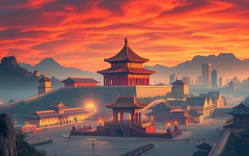
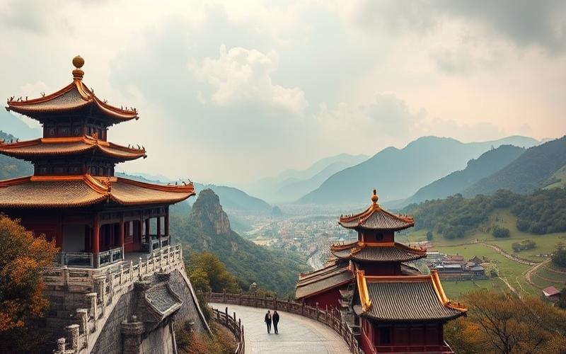
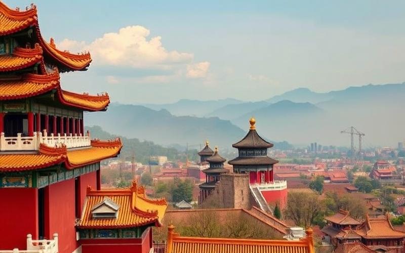
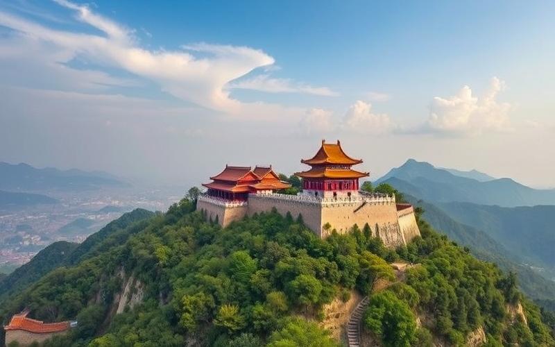
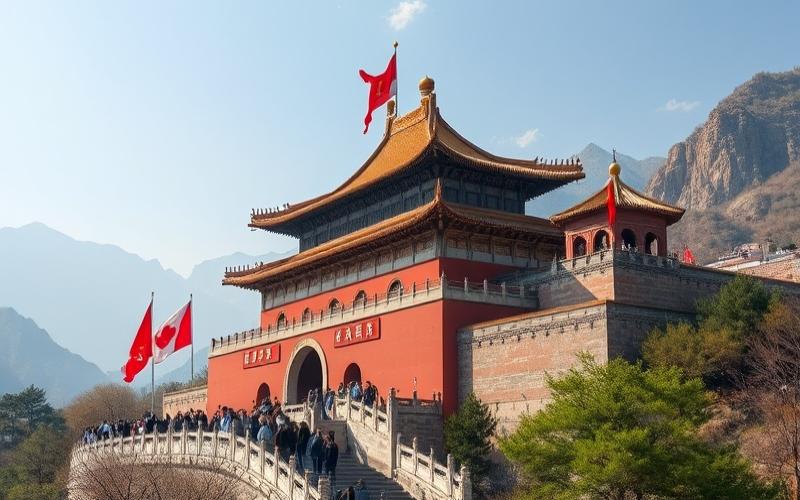
North China
Cold climate with harsh winters. Dominance of steppes and plateaus like in Inner Mongolia. Abundant resources in coal and minerals. Demographically predominantly Han Chinese with Mongolian pockets. The economy relies on grain agriculture and heavy industry.
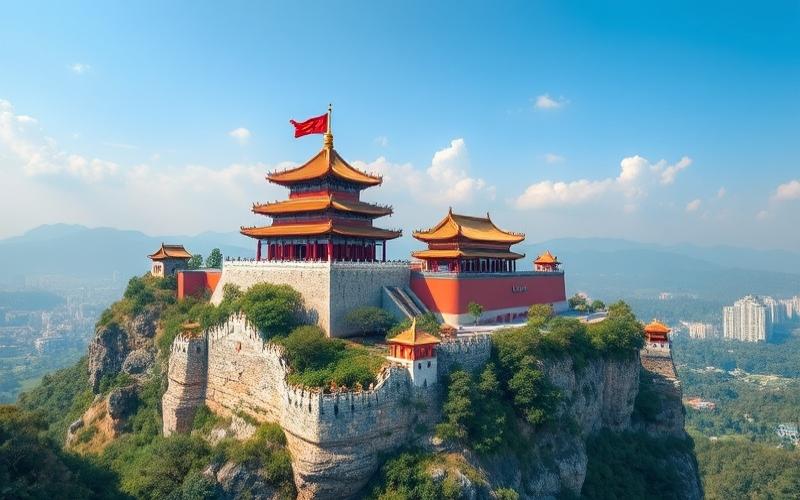
Tourist Attractions:
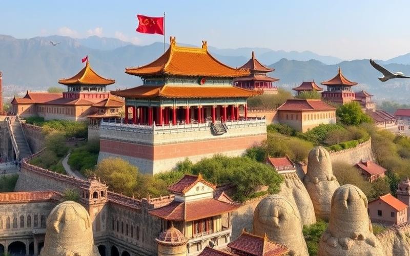
- Great Wall
- Zhangye Rainbow Mountains
Cultural Specificities:
Persistent nomadic traditions among Mongols; popular festivals related to Lunar New Year.
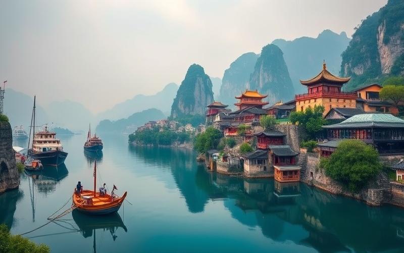
South China
Warm climate humidified by monsoons; mountainous terrain covered with lush vegetation. Great ethnic diversity: Zhuang in Guangxi or Miao in Guizhou. Agricultural activities dominated by rice cultivation; renowned tea production in Fujian.
Iconic Sites:
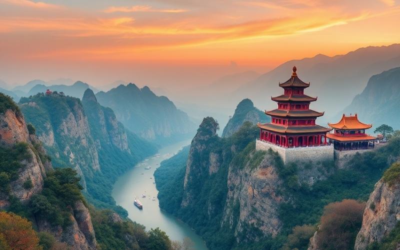
- Yunnan Red Land
- Guilin: spectacular karst landscapes
Local Culture:
Influence of mountain minorities with typical folk music.
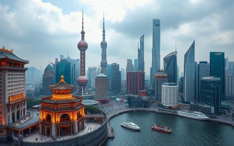
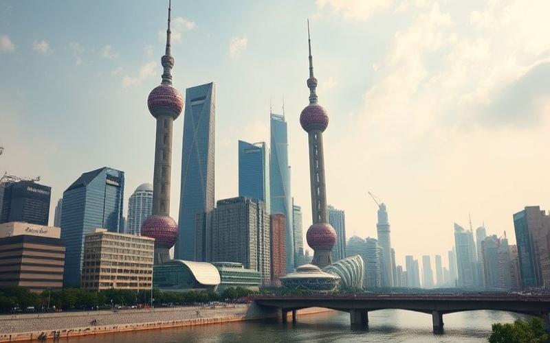
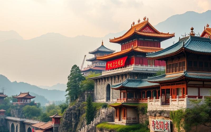
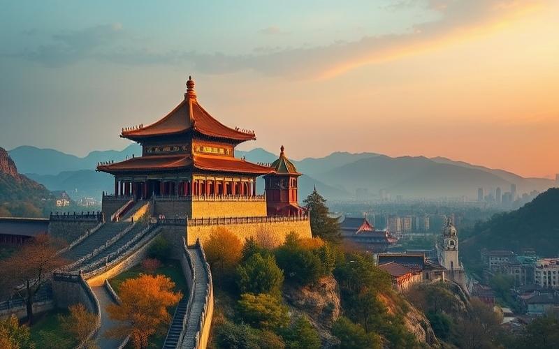
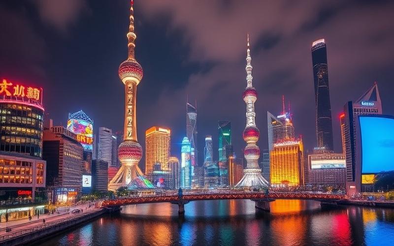
Eastern China
Temperate to subtropical climate along the Pacific coasts; vast, very fertile alluvial plains like those of the Yangtze Delta. Very dense urban area: Shanghai/Suzhou/Hangzhou are national economic drivers thanks to high-tech and export manufacturing industries.
Cultural Tourism:
- Suzhou Classical Garden
- The Bund in Shanghai
Historical wealth linked to ancient imperial capitals.
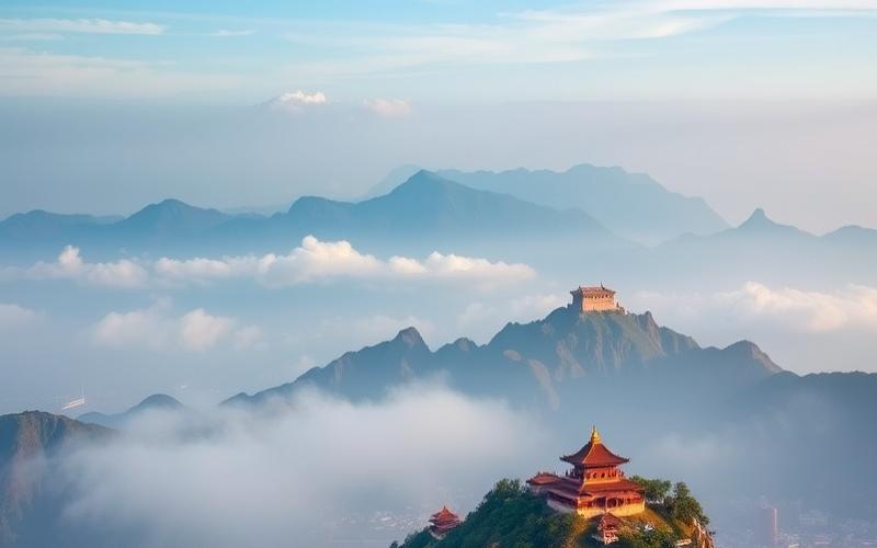
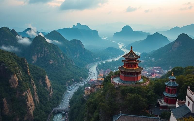
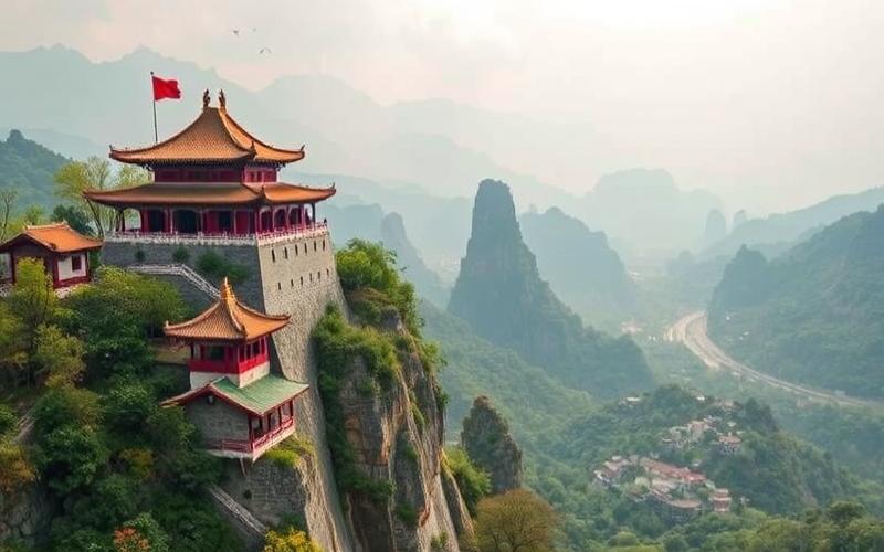
Western China
Region marked by extreme continental or arid climate. Tibetan high plateaus alternate with immense deserts such as Gobi or Taklamakan. Low human density but strong presence of Tibetan and Uyghur minorities. Economy based on traditional pastoralism as well as mining extraction.
Must-See Places:
- Potala Palace in Lhasa,
- Mogao Buddhist Caves,
Specific culture based on Tibetan Buddhism or local Islam.
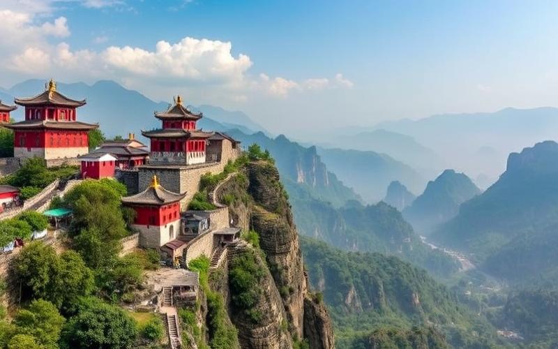
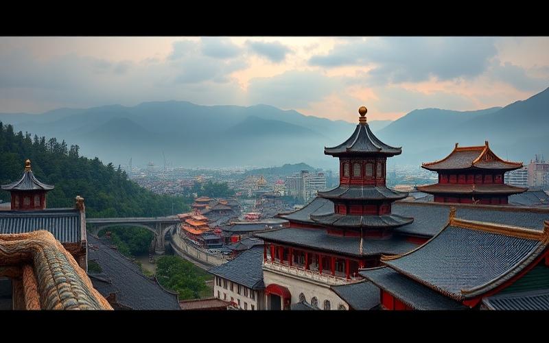
Central China
Characterized by four distinct seasons; varied terrain between fertile Yangtze Valley and steep Sichuan Basin. The basin is famous for its silkworms for several millennia as well as its ancient Dujiangyan irrigation system. The population is very dense, mixing Han majority with local ethnicities. Main economic activities around modern agro-industry but also traditional ones such as sericulture.
Major Tourist Heritage:
- The Three Gorges,
- The Giant Leshan Buddha
Cultural & Historical Specificities
- Each region has its own dialects or even local languages;
- Specific festivals according to ethnic traditions;
- Extremely diverse regional cuisine;
- Variable religious influence depending on the geographical area: dominant Taoism in the East/South while Tibetan Buddhism prevails in the West.
Iconic Places for Each Zone
- North: Great Wall • Rainbow Mountains • Beijing Imperial Palaces
- South: Longji Terraced Rice Fields • Guilin Karst Landscapes • Guizhou Minority Villages
- East: Shanghai Bund • Suzhou/Hangzhou Gardens • Nanjing Historical Sites
- West: Lhasa Potala Palace • Taklamakan Desert/Mogao Caves Dunhuang
- Center: Yangtze Three Gorges• Leshan Buddha• Dujiangyan Irrigation Systems
Good to Know:
China, a country of vast expanses and impressive diversity, is divided into five major regions with marked specificities. The North, with Beijing, is distinguished by a continental climate, plains conducive to agriculture, and a strong historical and political concentration. The South, rich in rice paddies and known for Guangzhou, supports a humid subtropical climate vibrant with varied economic and cultural activities. In the East, where Shanghai is located, the coastal plain favors urbanization and industry, housing among others the picturesque landscapes of the Yellow Mountains. The West, arid and mountainous, abounds in natural resources and preserves ancient cultures like in Tibet. Finally, the Center, around Wuhan, mixes fertile plains and hills, contributing to the role of agricultural and industrial crossroads. Each region presents tourist treasures, whether the Great Wall in the North, the karsts of Guilin in the South, or the Buddhist palaces in the West.
Important Cities of China
Major Chinese Cities
- Beijing
- Shanghai
- Guangzhou
- Shenzhen
- Xi’an
- Nanjing
- Chengdu
- Tianjin
Table of Geographical and Demographic Characteristics
| City | Population (millions) | Area (km²) | Geographical Location |
|---|---|---|---|
| Beijing | 21.5 | 16,410 | Northeast |
| Shanghai | 24.9 | 6,340 | East, Yangtze Delta |
| Guangzhou | ~15 | 7,434 | South, Pearl River Delta |
| Shenzhen | ~17 | ~2,000 | South, neighbor of Hong Kong |
| Xi’an | ~8 | ~9,983 | Central-northwest |
Economic Importance and Activity Sectors
- Beijing: political and administrative center; high-tech industries, financial services, media.
- Shanghai: main financial center; international trade, automotive and chemical industry.
- Guangzhou: major industrial hub; textile manufacturing, electronics, international logistics.
- Shenzhen: cradle of technological innovation; IT companies (Huawei), consumer electronics.
Historical/Cultural Sites and Monuments
Beijing
- Forbidden City
- Tiananmen Square
- Temple of Heaven
Shanghai
- The Bund
- Yuyuan Garden
- Jade Buddha Temple
Guangzhou
- Six Banyan Temple
- Sacred Heart Cathedral
Shenzhen
- Dafen Village (contemporary art)
- Window of the World
Xi’an
- Terracotta Army
- Preserved City Wall
Nanjing
- Zhonghua Gate
- Sun Yat-sen Mausoleum
Major Urban Challenges
List of main challenges faced by large Chinese cities:
- Rapid population growth leading to massive urbanization.
- Persistent air pollution due to road traffic and heavy industry.
- Sustainable management of water resources.
- Accelerated gentrification with loss of historical architectural heritage.
Initiatives and Projects for Sustainable Development
Projects implemented:
- Extension of metropolitan networks to reduce car traffic.
- Massive development of urban green spaces (urban forests in Beijing).
- Stricter environmental standards for industrial emissions.
- Transition to renewable energy in the residential and tertiary sectors.
- Pilot programs for smart waste management in Shanghai and Shenzhen.
Recent Data & Future Perspectives
Some recent statistics:
- The Chinese urbanization rate now exceeds 65%, meaning more than 900 million inhabitants live in cities.
- Shanghai expects continuous growth with a GDP exceeding 4 trillion RMB, confirming its place among the world’s main financial centers.
- Projections indicate that Shenzhen should have more than 20 million inhabitants before 2030, accentuating its role in global tech.
Chinese metropolises combine global economic power, exceptional cultural heritage, and innovation in the face of contemporary challenges.
Good to Know:
Beijing, the capital, is the political and cultural center of China, famous for the Forbidden City and Tiananmen Square, while facing pollution and overpopulation challenges despite its efforts in sustainable development. Shanghai, as the largest city, is the economic heart of the country with its important port, and combines modernity and history with sites like the Bund and Yu Garden. Guangzhou, engine of the Pearl River Delta region, is known for its manufacturing industry and culinary tradition, but must manage rapid urban growth. Shenzhen, an ultramodern city near Hong Kong, is a technological and innovation leader, while promoting ecological projects to counter environmental impact. All these metropolises invest in environmental initiatives and revise their housing policies to support their growing population, with projections indicating continued economic growth supported by ambitious urban reforms.
Disclaimer: The information provided on this website is for informational purposes only and does not constitute financial, legal, or professional advice. We encourage you to consult qualified experts before making any investment, real estate, or expatriation decisions. Although we strive to maintain up-to-date and accurate information, we do not guarantee the completeness, accuracy, or timeliness of the proposed content. As investment and expatriation involve risks, we disclaim any liability for potential losses or damages arising from the use of this site. Your use of this site confirms your acceptance of these terms and your understanding of the associated risks.
Cyril Jarnias is an independent expert in international wealth management with over 20 years of experience. As an expatriate himself, he is dedicated to helping individuals and business leaders build, protect, and pass on their wealth with complete peace of mind.
On his website, cyriljarnias.com, he shares his expertise on international real estate, offshore company formation, and expatriation.
Thanks to his expertise, he offers sound advice to optimize his clients' wealth management. Cyril Jarnias is also recognized for his appearances in many prestigious media outlets such as BFM Business, les Français de l’étranger, Le Figaro, Les Echos, and Mieux vivre votre argent, where he shares his knowledge and know-how in wealth management.