Published on and written by Cyril Jarnias
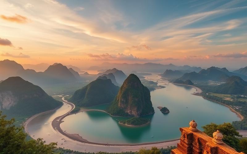
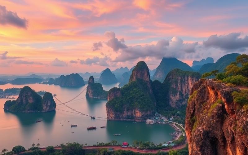
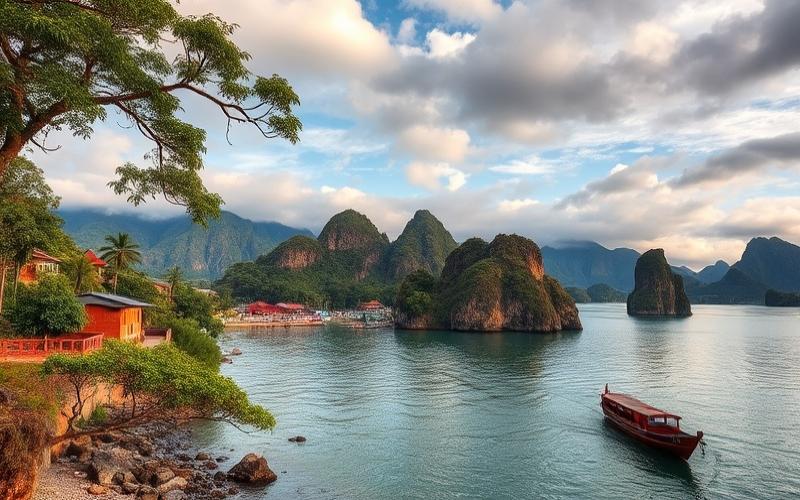
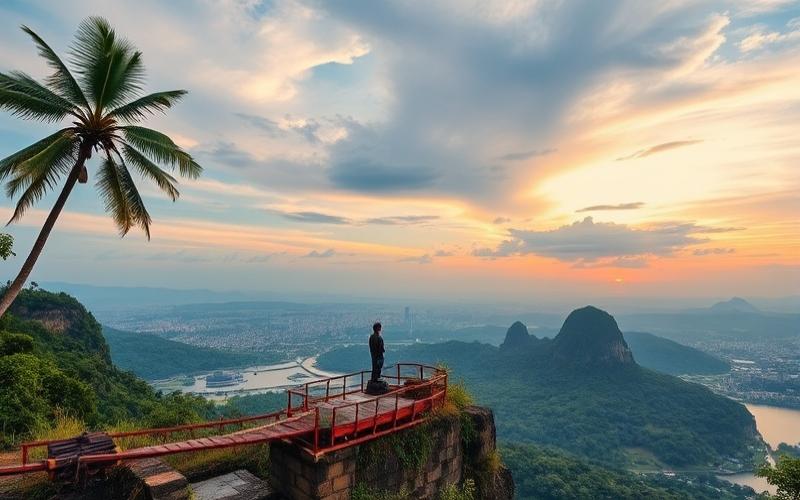
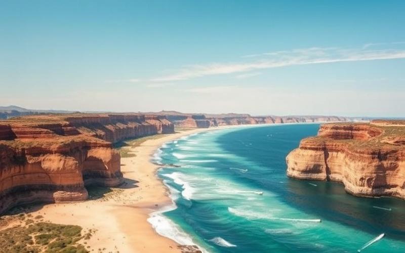
Indonesia, a spectacular archipelago located in Southeast Asia, spans over 17,000 islands, making this country a true geographical and cultural labyrinth.
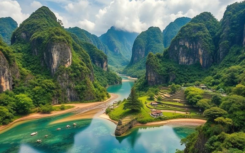
Natural architecture and ecosystem diversity converge in this island chain stretching from the Indian Ocean to the Pacific’s edge.
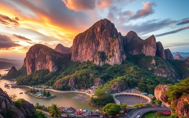
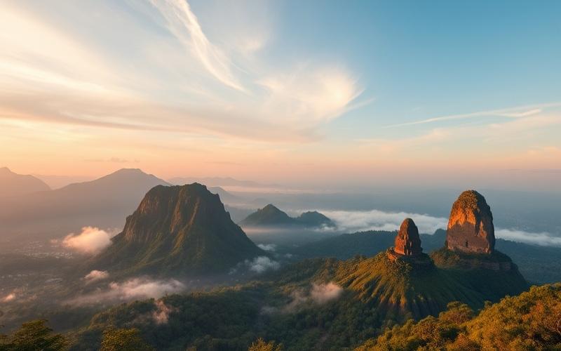
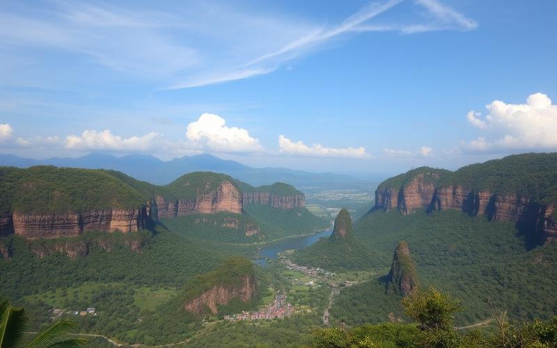
Majestic volcanoes, pristine beaches, and lush tropical forests create a landscape where beauty meets vulnerability, in a region prone to earthquakes and volcanic eruptions.
Indonesia is not only a land of natural contrasts, but also a mosaic of peoples and traditions, a historical crossroads for trade, and a unique biodiversity hotspot, giving this island chain a charm both mystical and intriguing.
Indonesia’s Geolocation
Exact Geographic Coordinates
- Average latitude: 5° 00′ South
- Average longitude: 120° 00′ East
- Approximate extent: from 6° North to 11° South and from 95° East to 141° East
- Example central coordinates: latitude -2.518722, longitude 118.015568
Land and Maritime Borders
| Border Type | Detail | Approximate Length |
|---|---|---|
| Land Borders | Malaysia (Borneo), Papua New Guinea, East Timor | 2,830 km |
| Maritime Borders | Indian Ocean, Pacific Ocean, regional seas | 54,716 km |
Neighboring Countries and Regional Proximity
- Malaysia: shares the island of Borneo in the northwest
- Papua New Guinea: shares the island of New Guinea in the east
- East Timor (Timor-Leste): shares the island of Timor in the southeast
- Australia: located to the south, separated by the Timor Sea and Arafura Sea
- Philippines: located to the north, separated by the Celebes Sea
Main Oceans and Seas Surrounding Indonesia
- Indian Ocean to the west and south
- Pacific Ocean to the east and northeast
- Regional seas:
- Java Sea
- Banda Sea
- Celebes Sea
- Molucca Sea
- Bali Sea
- Timor Sea
Archipelago Extent and Diversity
- Number of islands: approximately 18,000, with over 6,000 inhabited
- Major main islands:
- Java
- Sumatra
- Borneo (Kalimantan, shared with Malaysia and Brunei)
- Sulawesi
- New Guinea (Western Papua, shared with Papua New Guinea)
- Lesser Sunda Islands: Bali, Lombok, Sumbawa, Flores, Sumba, Timor, etc.
- Moluccas: Halmahera, Seram, Aru Islands, Tanimbar Islands
Tectonic Plates and Geological Phenomena
- Indonesia lies at the convergence of three major tectonic plates:
- Pacific Plate
- Eurasian Plate
- Australian Plate
- Geological consequences:
- High seismic and volcanic activity
- More than 150 active volcanoes (Krakatoa, Tambora, Merapi, etc.)
- Frequent risks of earthquakes and tsunamis
- High fertility of volcanic soils, favorable for agriculture
Historical Evolution of Geographical Borders
Over the centuries, the Indonesian archipelago has seen its borders evolve according to local, colonial, and postcolonial influences.
Before European colonization, the archipelago consisted of independent kingdoms and sultanates.
Colonial period: The Netherlands unified most of the archipelago under the name Dutch East Indies, drawing administrative borders that would form the basis for current boundaries.
After independence (1945): Indonesia inherited these limits but had to integrate several territories through negotiation or force (Western Papua, East Timor until 2002).
Maritime borders are still subject to negotiations, particularly with Australia and neighboring countries for the delimitation of exclusive economic zones (EEZ).
Visual Summary of Main Data
| Element | Value/Detail |
|---|---|
| Average coordinates | 5° 00′ S, 120° 00′ E |
| Area | Approximately 1.9 million km² |
| Number of islands | ~18,000 |
| Highest point | Puncak Jaya (4,884 m, Papua) |
| Main oceans/seas | Indian Ocean, Pacific Ocean, Java Sea, Banda Sea, etc. |
| Neighboring countries | Malaysia, Papua New Guinea, East Timor, Australia |
| Tectonic plates | Pacific, Eurasian, Australian |
| Active volcanoes | >150 |
| Capital | Jakarta (coord.: -6.21462, 106.84513) |
Good to know:
Indonesia, located between 6° north latitude and 11° south, is bordered by the Indian Ocean to the west and the Pacific Ocean to the east, and shares maritime borders with Australia, Malaysia, the Philippines, and East Timor. The islands are distributed across the Eurasian, Pacific, and Indo-Australian tectonic plates, resulting in high geological activity, particularly volcanic.
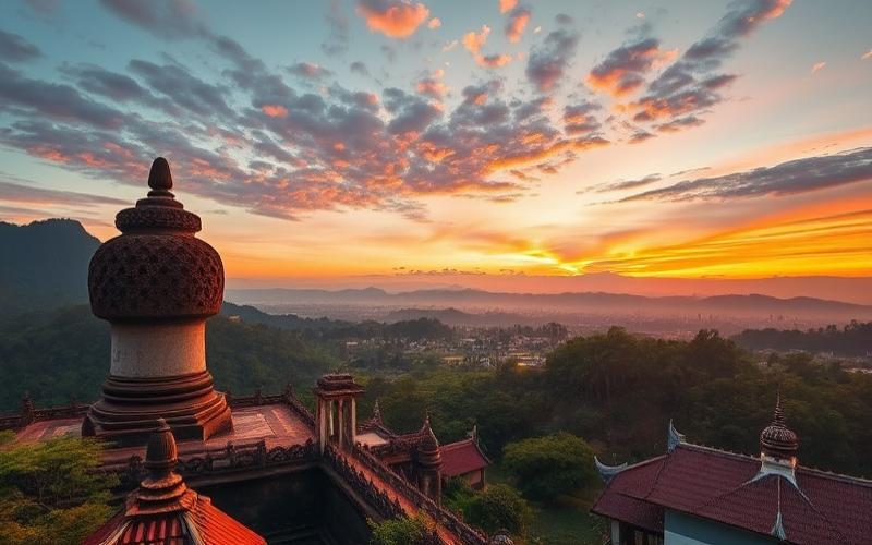
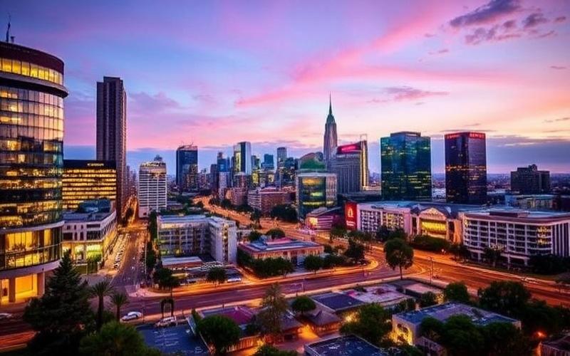
The Country’s Largest City
Jakarta is Indonesia’s largest city, playing a central role as the country’s political, economic, and cultural capital. Despite the plan to relocate the administrative capital to Nusantara, Jakarta remains Indonesia’s financial and commercial heart.
Status and Central Role
- Capital of Indonesia (until administrative relocation)
- Political center with numerous ministry headquarters and national institutions
- Economic heart: main business, finance, and trade hub of the country
Population and Ranking
- Estimated population: approximately 10 million within city limits
- Urban agglomeration (Jabodetabek): over 30 million inhabitants, making it Indonesia’s most populous metropolis and one of the largest in the world
| City | Population within city limits | Agglomeration (Jabodetabek) |
|---|---|---|
| Jakarta | ≈ 10 million | > 30 million |
| Surabaya | ≈ 3 million | ≈ 10 million |
| Bandung | ≈ 2.5 million | ≈ 8 million |
Major Financial and Commercial Center
- CBD (Central Business District): Sudirman, Thamrin, Kuningan areas, hosting headquarters, financial institutions, and exchanges (Indonesia Stock Exchange)
- Presence of multinationals, banks, technology companies, consulting firms, and media
- Modern infrastructure: iconic office towers (Wisma 46, International Financial Center), luxury hotels, high-end shopping malls (Plaza Indonesia, Grand Indonesia)
- Transport hubs: MRT, LRT, TransJakarta, road and rail networks facilitating urban and intercity mobility
Urban Development and Infrastructure
- Modernization dynamics: integrated superblock projects, transit-oriented development
- Infrastructure investments: international airports, seaports, public transport network extensions
- Expanding business districts, models inspired by major global metropolises
Challenges Related to Rapid Urbanization
- Sustained population growth due to rural exodus and economic appeal
- Infrastructure pressure: traffic congestion, transport saturation, waste management
- Challenges in housing, water access, and sanitation
- Socio-economic inequalities between central and peripheral neighborhoods
Cultural and Historical Aspects
- Cosmopolitan city: crossroads of cultures, religions, and ethnicities from across the Indonesian archipelago
- Historical heritage: colonial remnants (Batavia), national monuments (Monas), museums, major places of worship
- Dynamic cultural scene: festivals, urban arts, diverse cuisine illustrating Indonesian diversity
Environmental Challenges
- Flood risks: city partially below sea level, crossed by 13 rivers, vulnerable to rising waters and floods
- Land subsidence exacerbated by groundwater overexploitation
- Air and water pollution due to urban density, traffic, and insufficient treatment infrastructure
- Climate changes worsening risks for the city
Summary of Jakarta’s Main Challenges and Assets
| Assets | Challenges |
|---|---|
| National economic, financial, and commercial center | Floods and land subsidence |
| Modern infrastructure and regional connectivity | Air and water pollution |
| Cultural dynamism, diversity, and historical heritage | Demographic pressure and rapid urbanization |
| Attractiveness for investments and businesses | Social inequalities and infrastructure saturation |
Thus, Jakarta embodies the vitality and complexity of contemporary Indonesia, at the crossroads of history, modernity, and the major urban and environmental challenges of the 21st century.
Good to know:
Jakarta, Indonesia’s capital, is the most populous city and a major financial center, but it faces challenges of rapid urbanization and environmental issues such as sinking below sea level.
Indonesia’s Main Regions
| Region | Regional Capital / Main Cities | Geographical and Climate Characteristics | Economic and Cultural Importance | Historical Aspects |
|---|---|---|---|---|
| Sumatra | Medan (North), Padang, Palembang | Vast volcanic island, UNESCO-listed tropical forests, Barisan mountains, lakes (Toba), wetlands, humid equatorial climate | Production of oil, gas, rubber, palm oil; ethnic mosaic (Batak, Minangkabau, Aceh), animist and Islamic traditions | Ancient center of Srivijaya Kingdom (7th-13th centuries), key role in maritime trade, 2004 tsunami tragedy |
| Java | Jakarta (national capital), Surabaya, Bandung, Yogyakarta | Most populous island, fertile plains, active volcanoes (Bromo, Merapi), equatorial climate with dry/wet seasons | Political, economic, and cultural heart of Indonesia; intensive agriculture (rice), industry, universities, cultural landmarks (Borobudur, Prambanan) | Hindu-Buddhist kingdoms (Majapahit, Mataram), Dutch colonization, center of Indonesian independence |
| Borneo (Kalimantan) | Pontianak, Banjarmasin, Palangkaraya | Dense equatorial forest, major rivers (Kapuas, Mahakam), low mountainous relief, very humid climate | Logging, mining (coal, gold), remarkable biodiversity (orangutans), Dayak and Malay cultures | Territory shared with Malaysia and Brunei, Dayak tribal traditions, planned future national capital (Nusantara) |
| Sulawesi | Makassar, Manado, Palu | Highly indented island, mountains, lakes (Poso), forests, numerous bays, tropical climate varying by altitude | Fishing, cocoa, coffee, maritime cultures; ethnic diversity (Bugis, Toraja), unique funeral rituals | Maritime kingdoms (Bugis, Makassar), role in spice trade, partial Christianization (Toraja) |
| Papua | Jayapura, Timika, Manokwari | Mountainous region, primary forests, savannas, large rivers (Mamberamo), humid equatorial climate | Mineral resources (gold, copper), Papuan cultures, great linguistic and cultural diversity | Historically isolated region, integrated into Indonesia in 1969, political tensions and independence movements |
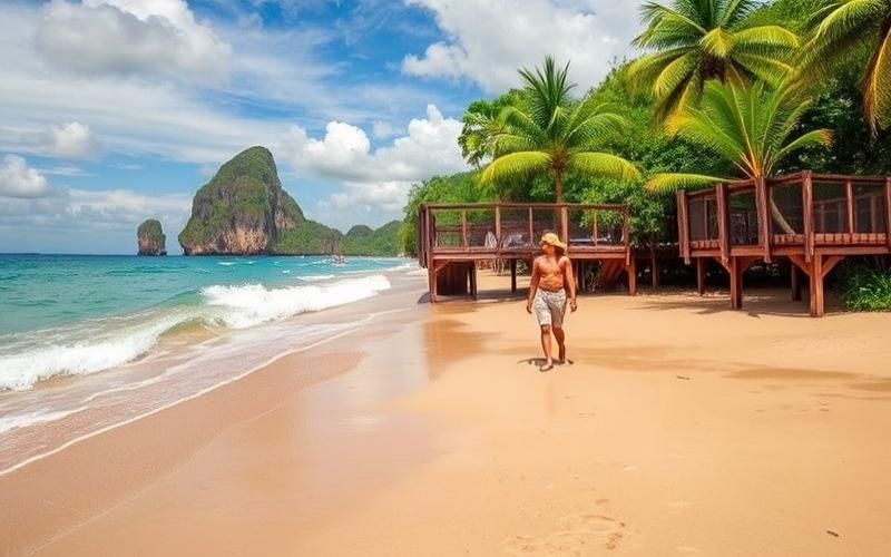
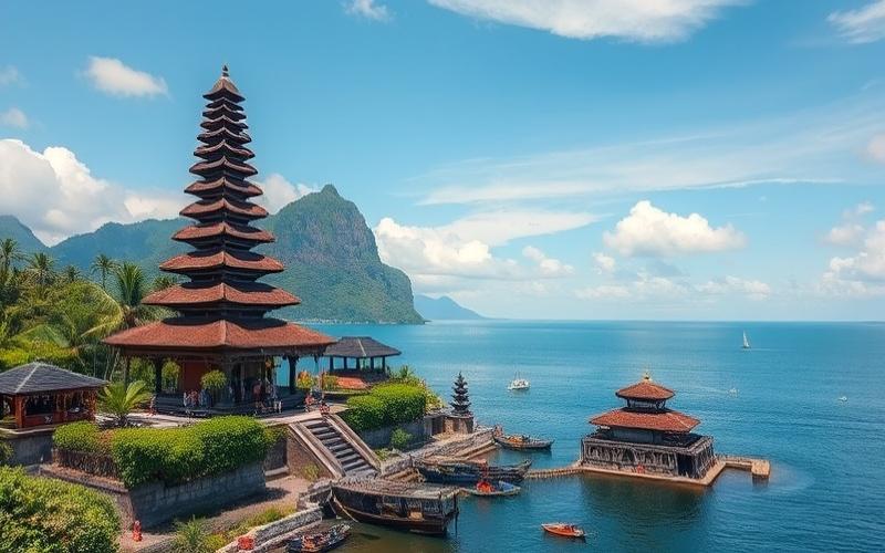
| Sunda Islands (Lesser and Greater) | Bali (Denpasar), Lombok (Mataram), Flores (Ende), Sumbawa (Sumbawa Besar) | Volcanic archipelago, beaches, tropical forests, varied climates (drier in the east), remarkable natural sites (Komodo National Park) | International tourism (Bali), crafts, agriculture (rice, coffee), Hindu traditions (Bali), local cultures (Sasak, Manggarai) | Crossroads of maritime routes, Hindu kingdoms, Portuguese and Dutch influence, discovery of Homo floresiensis in Flores (2003) |
Sumatra: known for its biodiversity (orangutans, tigers), national parks, and indigenous peoples. The island is marked by its natural resource wealth and a history mixing powerful kingdoms and natural disasters.
Java: the demographic and economic nerve center, it concentrates much of the country’s culture, political history, and institutions.
Borneo (Kalimantan): the “green lung” of Southeast Asia, shared with Malaysia and Brunei, distinguished by its primary forest, unique wildlife, and the establishment of Indonesia’s new capital.
Sulawesi: mountainous island with complex contours, famous for its ancestral traditions (Toraja), endemic wildlife, and historic ports.
Papua: vast, sparsely populated, it hosts hundreds of ethnic and linguistic groups. Rich in minerals, it remains politically sensitive.
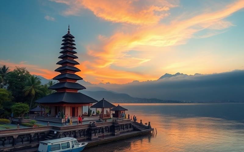
Sunda Islands: include Bali (major tourist destination and center of Hindu culture), Lombok, Sumbawa, Flores, and Komodo (Komodo dragons). Each island has its own cultural and natural identity, from Balinese Hinduism to traditional villages of Flores.
Key takeaway:
The Indonesian archipelago is a true patchwork of cultures, landscapes, and climates, where each major island constitutes a world of its own, reflecting the diversity and complexity of contemporary Indonesia.
Good to know:
Sumatra is renowned for its Gunung Leuser National Park, home to the last Sumatran orangutans, while Java, dominated by its Mount Merapi volcano, plays a key economic role with the capital Jakarta.
Indonesia’s Neighboring Countries
Indonesia is located in Southeast Asia, spanning a vast archipelago between the Indian Ocean and the Pacific Ocean, with central coordinates near 5° South and 120° East. It comprises over 17,000 islands, with the main ones being Java, Sumatra, Borneo (Kalimantan), Sulawesi, and the western part of New Guinea.
Table of Indonesia’s Borders
| Neighboring Country | Border Type | Specific Location |
|---|---|---|
| Malaysia | Land & maritime | Island of Borneo (Kalimantan), Sebatik Island |
| Papua New Guinea | Land | Island of New Guinea (Irian Jaya/Western Papua) |
| East Timor | Land & maritime | Island of Timor |
| Singapore | Maritime | Singapore Strait |
| Philippines | Maritime | Celebes Sea, Philippine Sea |
| Australia | Maritime | Timor Sea, Arafura Sea |
| Vietnam | Maritime | South China Sea |
| Thailand | Maritime | Andaman Sea, South China Sea |
| Brunei | Maritime | Island of Borneo (Brunei is enclaved in northern Borneo) |
| India (Andaman and Nicobar Islands) | Maritime | Indian Ocean |
| Palau | Maritime | Pacific Ocean |
Land Borders:
- With Malaysia, Indonesia shares the southern part of Borneo Island (Kalimantan). This land border measures approximately 1,782 km and crosses dense tropical forest areas. Sebatik Island is also shared between the two countries.
- With Papua New Guinea, the land border is located on New Guinea Island (locally called Irian Jaya or Western Papua), stretching about 824 km.
- With East Timor, the land border crosses Timor Island in the southeast of the archipelago.
Maritime Borders:
- Singapore: the maritime border passes through the Singapore Strait, a strategic corridor for world trade.
- Philippines: the maritime border is delimited by the Celebes Sea and the Philippine Sea, important fishing and navigation areas.
- Australia: the maritime border crosses the Timor Sea and Arafura Sea, crucial for security and regional cooperation.
- Vietnam and Thailand: maritime borders concern the South China Sea and Andaman Sea, rich in fishery resources and sometimes subject to geopolitical tensions.
- Brunei: although Brunei is located on Borneo, there is no direct land border, but maritime boundaries in the South China Sea.
Geopolitical Information and Strategic Importance:
Indonesia occupies a central position within ASEAN, serving as a bridge between mainland Asia and Oceania.
Managing land borders, particularly with Malaysia and Papua New Guinea, involves security issues, combating cross-border trafficking, and environmental preservation.
Maritime borders, especially in the Malacca and Singapore Straits, are vital for international trade, navigation, and energy security. They are also the stage for cooperation and sometimes disputes concerning fishing, oil and gas exploitation, or anti-piracy efforts.
Indonesia’s border relations strengthen its regional strategy, enabling it to play a key role in maritime security, regional stability, and diplomatic dialogue on territorial issues.
The diversity of Indonesia’s borders, both land and maritime, underscores its major geopolitical role in Southeast Asia, making it an essential actor for security, cooperation, and regional integration.
Good to know:
Indonesia shares land borders with Malaysia on Borneo and with Papua New Guinea on New Guinea Island, while its maritime borders include countries like the Philippines, Australia, and Singapore, highlighting its key role in the Asia-Pacific region. These border relations are crucial for economic exchanges and security cooperation, strengthening Indonesia’s strategic position in Southeast Asia.
Disclaimer: The information provided on this website is for informational purposes only and does not constitute financial, legal, or professional advice. We encourage you to consult qualified experts before making any investment, real estate, or expatriation decisions. Although we strive to maintain up-to-date and accurate information, we do not guarantee the completeness, accuracy, or timeliness of the proposed content. As investment and expatriation involve risks, we disclaim any liability for potential losses or damages arising from the use of this site. Your use of this site confirms your acceptance of these terms and your understanding of the associated risks.
Cyril Jarnias is an independent expert in international wealth management with over 20 years of experience. As an expatriate himself, he is dedicated to helping individuals and business leaders build, protect, and pass on their wealth with complete peace of mind.
On his website, cyriljarnias.com, he shares his expertise on international real estate, offshore company formation, and expatriation.
Thanks to his expertise, he offers sound advice to optimize his clients' wealth management. Cyril Jarnias is also recognized for his appearances in many prestigious media outlets such as BFM Business, les Français de l’étranger, Le Figaro, Les Echos, and Mieux vivre votre argent, where he shares his knowledge and know-how in wealth management.