Published on and written by Cyril Jarnias
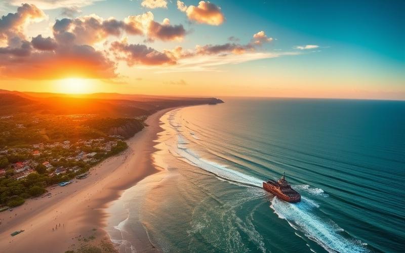
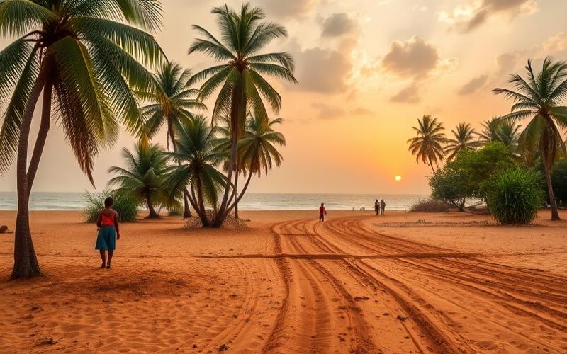
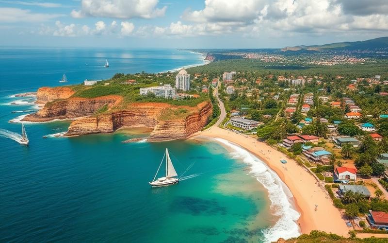
Located on the West African coast, Côte d’Ivoire stands out for its fascinating geographical diversity that captivates travelers and researchers alike.
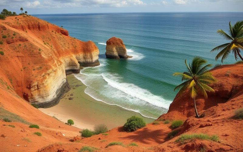
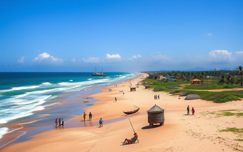
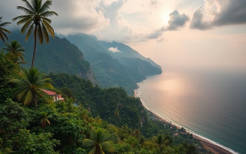
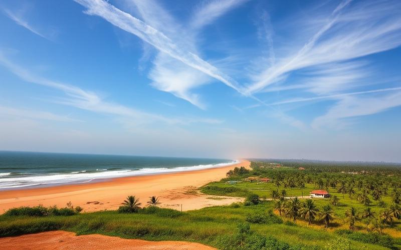
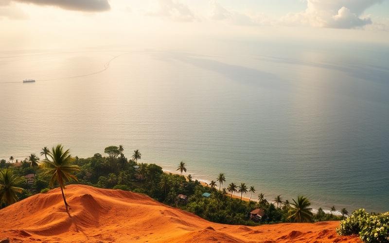
Between the golden beaches of the Atlantic Ocean and the lush forests of the Sassandra river basin, the country reveals varied landscapes ranging from the majestic mountains of Mount Nimba to the vast northern savannas.
This natural wealth is complemented by a tropical climate that nurtures astonishing biodiversity, making Côte d’Ivoire a territory for ecotourism exploration and environmental research.
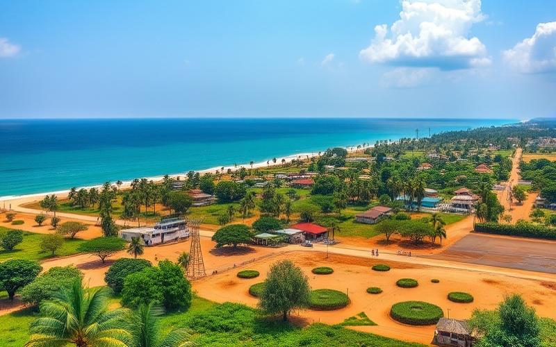
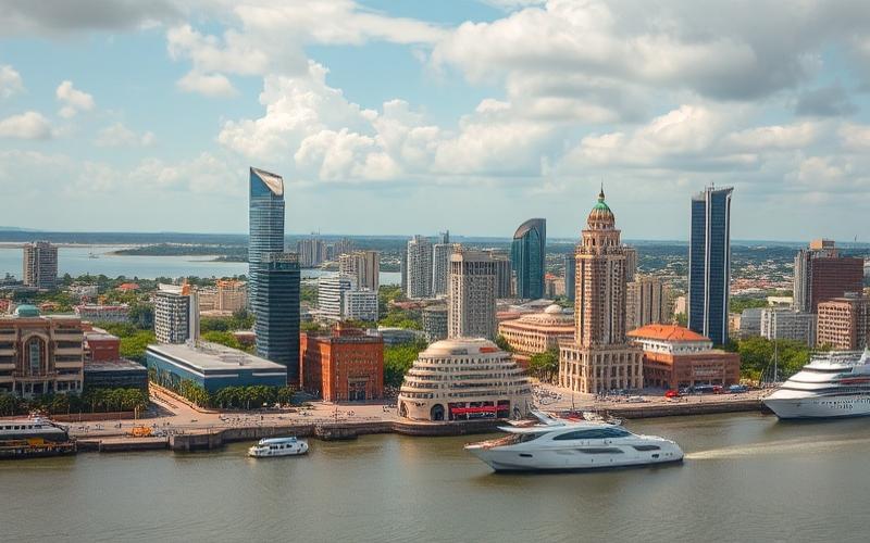
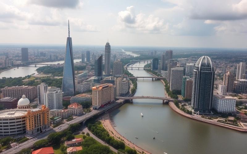
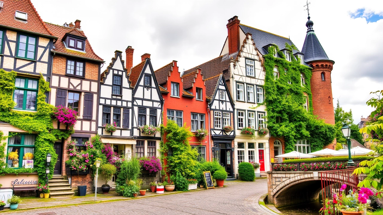
Adding to this mosaic, the expanding urban infrastructure in dynamic cities like Abidjan, nicknamed the “Manhattan of the Tropics,” contrasts with traditions rooted in rural villages, offering a captivating glimpse of an evolving nation.
General Geography of Côte d’Ivoire
Côte d’Ivoire is a West African country, located on the southern coast of the continent, along the Gulf of Guinea. It shares borders with five countries: Liberia and Guinea to the west, Mali and Burkina Faso to the north, and Ghana to the east. To the south, it is bordered by the Atlantic Ocean, with a coastline of approximately 515 km.
| Bordering Countries | Border Length (km) |
|---|---|
| Liberia | 716 |
| Guinea | 610 |
| Mali | 532 |
| Burkina Faso | 584 |
| Ghana | 668 |
Total area: 322,462 km²
Main Geographical Features:
- Relief mainly consisting of plains and plateaus extending from south to north.
- Mountainous western region: presence of Mount Nimba (1,753 m), the country’s highest point.
- Landscape diversity:
- Coastal beaches and lagoons in the south.
- Dense forests in the southern and central-southern zones.
- Savannas in the north and central-north.
- Plateaus dominating most of the territory.
Climate:
- Equatorial climate in the south, characterized by high temperatures and high humidity, with two rainy seasons (April-July and October-November) and two dry seasons.
- Tropical climate in the north, with a single rainy season (May-October) and a more pronounced dry season (November-April).
- Regional variations: more humid in the south, drier and hotter in the north.
Main Rivers and River Basins:
- Bandama Basin (Bandama River, the country’s longest river).
- Comoé River.
- Sassandra River.
- Cavally River (natural border with Liberia to the west).
- Numerous lagoons (notably Ébrié Lagoon, around Abidjan).
| River | Main Location | Special Feature |
|---|---|---|
| Bandama | Center of the country | Longest Ivorian river |
| Comoé | East | Important agricultural basin |
| Sassandra | Southwest | Hydroelectric power |
| Cavally | West (Liberian border) | Natural border |
Main Geographical or Administrative Regions:
- The country is divided into 14 administrative districts, themselves subdivided into regions, departments, and communes.
- Main geographical regions:
- Southern forest and lagoon region: Abidjan, Grand-Bassam, San Pedro.
- Center: Yamoussoukro (political capital), Bouaké.
- Northern savanna region: Korhogo, Boundiali.
- Mountainous west: Man, Mount Nimba region.
- East and central-east: Abengourou, border region with Ghana.
Role in Territorial Structure:
- Districts and regions structure administrative management, land use planning, and resource distribution.
- Major cities like Abidjan (economic capital), Yamoussoukro (political capital), Bouaké (industrial and commercial center), and San Pedro (export port) play a driving role in national development.
Côte d’Ivoire, a West African country of 322,462 km², features great landscape diversity, from the lagoon coastline to the northern savannas, through plateaus and western mountains. Its climate varies from equatorial in the south to tropical in the north, and the country is structured into 14 administrative districts playing a key role in territorial organization. The main rivers, such as the Bandama and Comoé, irrigate regions vital for agriculture and hydroelectric power.
Good to know:
Côte d’Ivoire, located in West Africa, shares its borders with Ghana, Burkina Faso, Mali, Guinea, and Liberia; it spans 322,463 km² with landscapes ranging from coastal beaches to savannas, while the climate varies between humid in the south and dry in the north. The northern mountains and the Bandama river basin mark important regional distinctions, influencing the economic and cultural activities of major administrative areas such as Abidjan and Yamoussoukro.
Main Regions and Cities
Main Geographical Regions of Côte d’Ivoire and Characteristics
| Administrative Region | Geographical Characteristics | Climate | Economic/Cultural/Historical Importance |
|---|---|---|---|
| Autonomous District of Abidjan | Coastline, lagoons, plains | Humid equatorial | Economic center, port, cultural diversity |
| Autonomous District of Yamoussoukro | Central plateau, savanna | Tropical savanna | Political capital, symbolic, basilica |
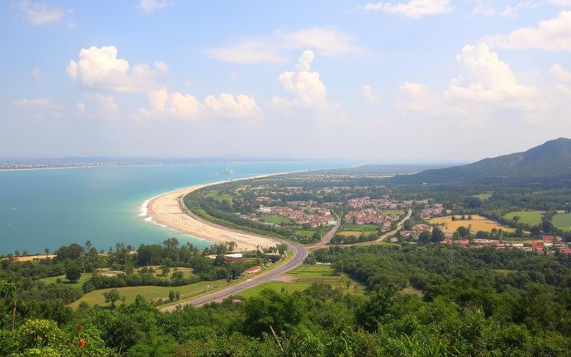
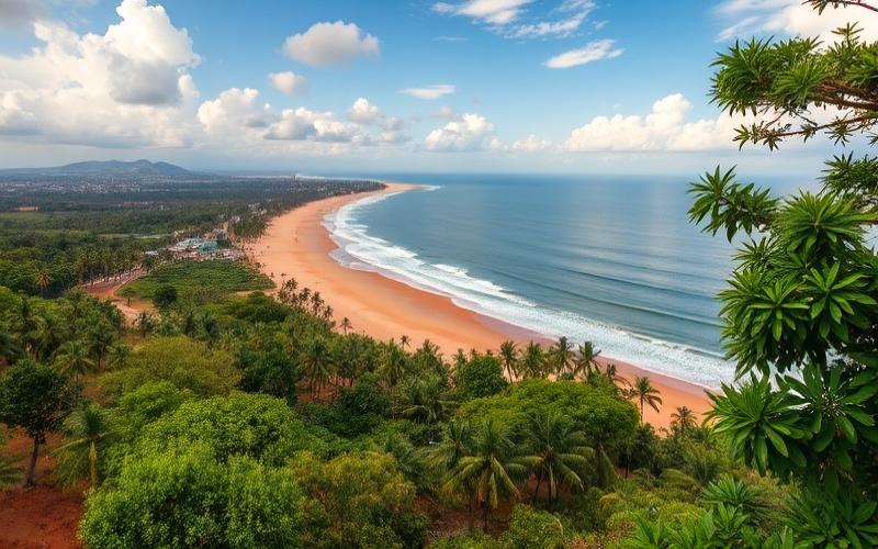
| Bas-Sassandra Region | Southwest coastline, beaches | Equatorial, high humidity | Port of San-Pédro, beach tourism |
| Worodougou Region | Northwest, savannas | Dry tropical | Agriculture, Senufo traditions |
| Gbêkê Region | Center, plateaus | Tropical savanna | City of Bouaké, textile industry, Baoulé culture |
| Tonkpi Region | West, mountains (Man, Mount Nimba) | Mountain climate | Coffee-cocoa, ecotourism, Dan peoples |
| Zanzan Region | Northeast, savannas and open forests | Dry tropical | Royal history, subsistence farming |
| Mé Region | Southeast, lagoons and forests | Humid equatorial | Industrial crops, Akan heritage |
Geographical and Climatic Characteristics
- South (Lagoons, Bas-Sassandra, Mé): Plains, lagoons, Atlantic coastline, humid equatorial climate with two rainy seasons, dense forests and industrial crops (coffee, cocoa, oil palm).
- Center (Gbêkê, Yamoussoukro): Plateaus, savannas, tropical savanna climate, more marked seasonal contrasts, Baoulé culture, political capital.
- North (Worodougou, Zanzan): Savannas, semi-arid Sudanian climate, long dry season, subsistence farming (yam, millet, cotton), Senufo and Koulango traditions.
- West (Tonkpi): Mountainous relief (Man, Mount Nimba), mountain climate, forests, coffee-cocoa, ethnic diversity.
Major Cities and Their Roles
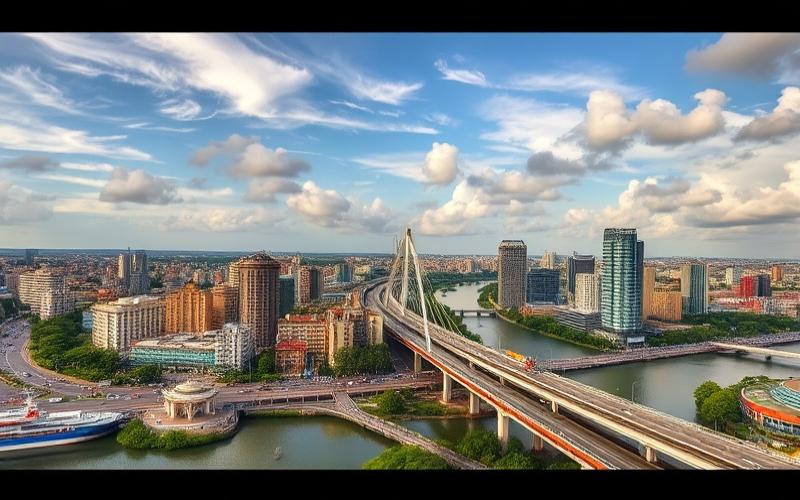
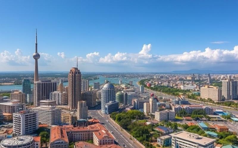
Abidjan
- Population: Over 5 million inhabitants.
- Dynamism: Largest city, economic capital, major autonomous port, financial and industrial center.
- Special Features: Ébrié Lagoon, diverse neighborhoods (Plateau, Cocody, Treichville), vibrant cultural life, museums, universities, modern architecture.
- Points of Interest: Banco National Park, St. Paul’s Cathedral, Grand-Bassam beaches.
Yamoussoukro
- Population: Approximately 350,000 inhabitants.
- Role: Political and administrative capital, seat of institutions, birthplace of President Félix Houphouët-Boigny.
- Special Features: Large central plateau, planned urbanism, low density.
- Points of Interest: Basilica of Our Lady of Peace (world’s largest basilica), Houphouët-Boigny Foundation.
Bouaké
- Population: Nearly 800,000 inhabitants.
- Role: Second urban center, commercial crossroads of the center, textile industry, center of Baoulé culture.
- Special Features: Located on the plateau, savanna climate, lively market, crafts.
- Points of Interest: Yam festivals, central market, craft sites.
San-Pédro
- Population: Over 300,000 inhabitants.
- Role: Country’s second port, cocoa export, timber industry, beach tourism.
- Special Features: Renowned beaches, very humid climate, absence of “bar” allowing swimming.
- Points of Interest: Monogaga and San-Pédro beaches, Taï National Park (UNESCO World Heritage).
List of Major Tourist or Cultural Points of Interest
- Basilica of Our Lady of Peace (Yamoussoukro)
- Banco National Park (Abidjan)
- Grand-Bassam and San-Pédro beaches
- Taï National Park (southwest)
- Central Market of Bouaké
- Mount Nimba and Man region (hiking, waterfalls)
- Traditional festivals (yam in Bouaké, masks in Man)
Population and Economic Activity
Total population: Over 29 million inhabitants, high density in the south and major cities.
Main activities: Agriculture (cocoa, coffee, cotton, palm oil), fishing, industry, commerce, tourism.
Regional importance: The south (Abidjan, San-Pédro) dominates economically through the port and industries, the center (Bouaké, Yamoussoukro) plays an administrative and commercial role, the north (Korhogo, Boundiali) remains agricultural and cultural.
Visual Summary of Major Regions
| Geographical Zone | Relief | Climate | Major Cities | Dominant Activity |
|---|---|---|---|---|
| South | Plains, lagoons | Humid equatorial | Abidjan, San-Pédro | Port, industry |
| Center | Plateaus | Tropical savanna | Yamoussoukro, Bouaké | Administration, commerce |
| North | Savannas | Dry tropical/Sudanian | Korhogo, Boundiali | Agriculture |
| West | Mountains | Mountain climate | Man | Coffee-cocoa, tourism |
Key Information on Geographical Diversity
Côte d’Ivoire: mosaic of beaches, mountains, forests, savannas.
Cities and regions are distinguished by their economic role and heritage.
Cultural wealth, ethnic diversity and attractive landscapes promote tourist and economic development.
Good to know:
The Sud-Comoé region, with its mangroves and beaches, is important for its tourist activity, while Abidjan, the largest city, is the country’s economic heart, offering modern infrastructure and diverse cultural hubs.
Côte d’Ivoire’s Neighboring Countries
| Bordering Country | Approximate Border Length | Brief Description |
|---|---|---|
| Liberia | 715 to 716 km | Western border, crossing forested and mountainous areas, naturally demarcated by watercourses and massifs like Mount Nimba. |
| Guinea | 610 to 732 km | Northwestern border, characterized by mountainous zones, notably Mount Nimba, and dense forests. |
| Mali | 532 to 598 km | Northern border, crossing a savanna and plateau zone, with important cross-border passages for trade and migration. |
| Burkina Faso | 584 to 603 km | Northeastern border, savanna and open forest region, with high population mobility, including refugees. |
| Ghana | 668 to 725 km | Eastern border, marked by the presence of the Comoé River and Comoé National Park, zone of intense economic and cultural exchanges. |
Notable Geographical Features of Borders
- Mountains: The west (borders with Liberia and Guinea) is dominated by the highest Ivorian massifs, including Mount Tonkpi and especially Mount Nimba (1,753 m), the highest point on the border with Guinea.
- Rivers and streams: Several borders follow natural watercourses, notably the Cavally River to the west (Liberia), the Comoé River to the east (Ghana), and many small tributaries serving as natural boundaries.
- Protected areas: Comoé National Park, in the east near Ghana, is one of West Africa’s largest protected areas, while the Mount Nimba forest, shared with Guinea and Liberia, is classified as a biosphere reserve.
Economic and Cultural Importance of Relations with Neighboring Countries
Commercial Exchanges
- Road and rail corridors to Burkina Faso and Mali are essential for exporting Ivorian products and importing goods from the Sahel.
- The port of Abidjan plays a central role for regional trade, serving both Burkina Faso and Mali.
- With Ghana, trade is marked by agricultural exchanges (cocoa, cashew) and cooperation around the maritime border.
Migrations
- Strong cross-border mobility, notably of Malian and Burkinabe workers and traders.
- Hosting of refugees, mainly from Burkina Faso (fleeing violence) and Liberia (past conflicts).
Cultural Partnerships
- Mix of cross-border populations and ethnic groups (e.g., Senufo, Malinke, Lobi).
- Cultural and linguistic cooperation, notably between French-speaking countries (Guinea, Burkina, Mali) and growing exchanges with English-speaking countries (Ghana, Liberia).
Historical Context of Borders
Current borders result from European colonization, mainly French, with boundaries stemming from Franco-British colonial agreements (Ghana, Liberia) and Franco-French agreements (Guinea, Mali, Burkina Faso).
Several borders remained imprecise or unmarked for a long time, notably those with Burkina Faso and Mali, where demarcation is still ongoing or subject to dispute.
Regional conflicts (civil war in Liberia, instability in Burkina Faso and Mali) have sometimes caused population movements and border tensions.
Regional Cooperation and Côte d’Ivoire’s Role
- ECOWAS: Founding member of the Economic Community of West African States, Côte d’Ivoire plays a central role in regional integration, facilitating free movement of people and goods.
- WAEMU: In the West African Economic and Monetary Union, it shares the same currency (CFA franc) with Burkina Faso, Mali and Guinea-Bissau, strengthening economic ties.
- Security initiatives: Increased cooperation with Burkina Faso and Mali to combat insecurity and terrorism in the northern border zone.
- Infrastructure projects: Development of cross-border transport and energy infrastructure to promote exchanges and integration.
Summary of Main Cooperation Points and Border Issues
- Dynamic economic relations with Mali, Burkina Faso and Ghana.
- Strong mobility and cultural solidarity with all neighbors.
- Growing security challenges, notably in the north.
- Regional integration via ECOWAS and WAEMU, amplifying interdependence with neighboring countries.
Good to know:
Côte d’Ivoire shares a 778 km border with Ghana, a key partner for trade exchanges, and 716 km with Liberia, where the Cavally River marks a notable border zone; ECOWAS plays an essential role in facilitating regional cooperation, strengthening economic and cultural ties.
Disclaimer: The information provided on this website is for informational purposes only and does not constitute financial, legal, or professional advice. We encourage you to consult qualified experts before making any investment, real estate, or expatriation decisions. Although we strive to maintain up-to-date and accurate information, we do not guarantee the completeness, accuracy, or timeliness of the proposed content. As investment and expatriation involve risks, we disclaim any liability for potential losses or damages arising from the use of this site. Your use of this site confirms your acceptance of these terms and your understanding of the associated risks.
Cyril Jarnias is an independent expert in international wealth management with over 20 years of experience. As an expatriate himself, he is dedicated to helping individuals and business leaders build, protect, and pass on their wealth with complete peace of mind.
On his website, cyriljarnias.com, he shares his expertise on international real estate, offshore company formation, and expatriation.
Thanks to his expertise, he offers sound advice to optimize his clients' wealth management. Cyril Jarnias is also recognized for his appearances in many prestigious media outlets such as BFM Business, les Français de l’étranger, Le Figaro, Les Echos, and Mieux vivre votre argent, where he shares his knowledge and know-how in wealth management.