Published on and written by Cyril Jarnias
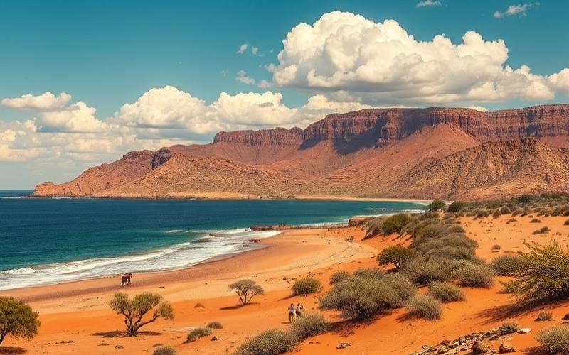
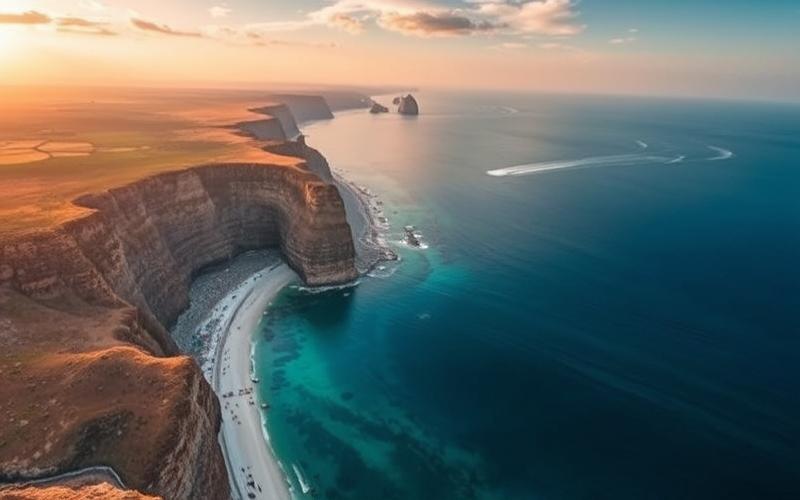
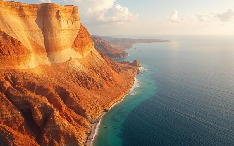
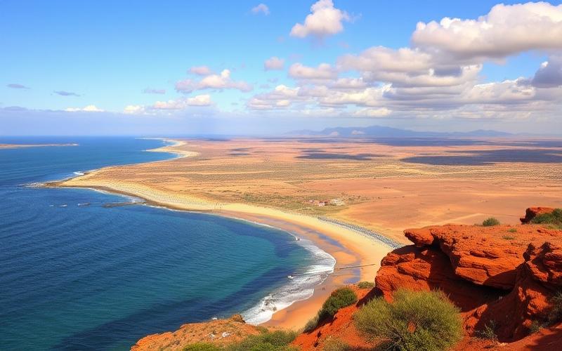
Located at the southernmost tip of the African continent, South Africa stands out for the richness and diversity of its landscapes, stretching from wild coastlines bordered by the Atlantic and Indian Oceans to the rugged Drakensberg Mountains.
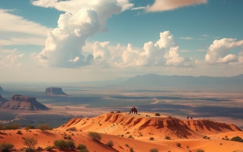
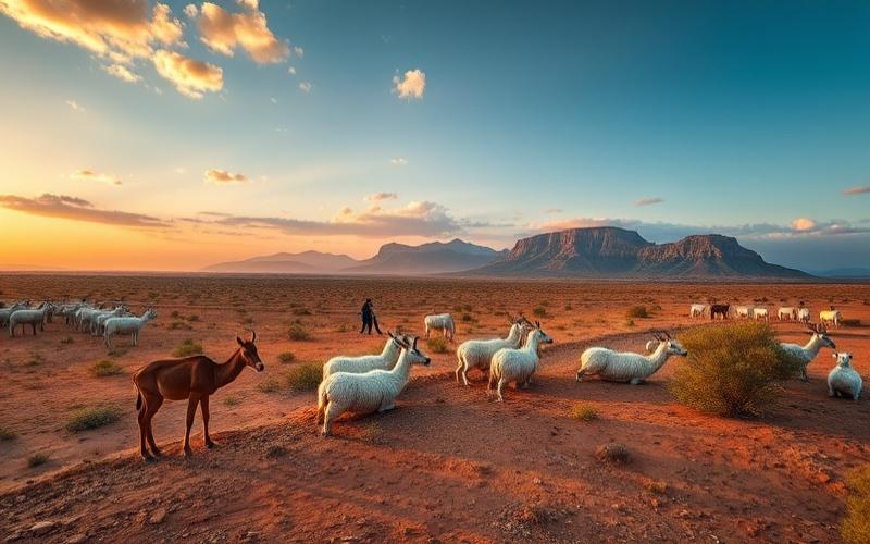
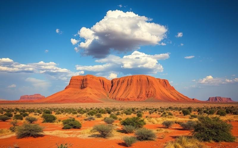
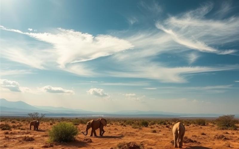
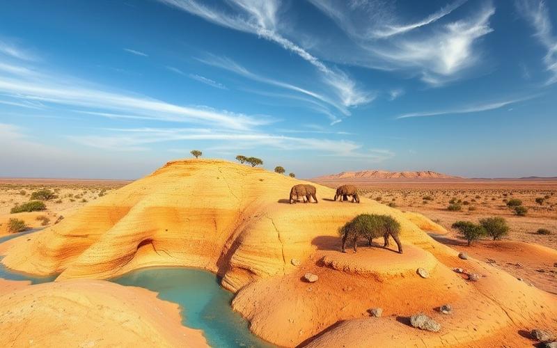
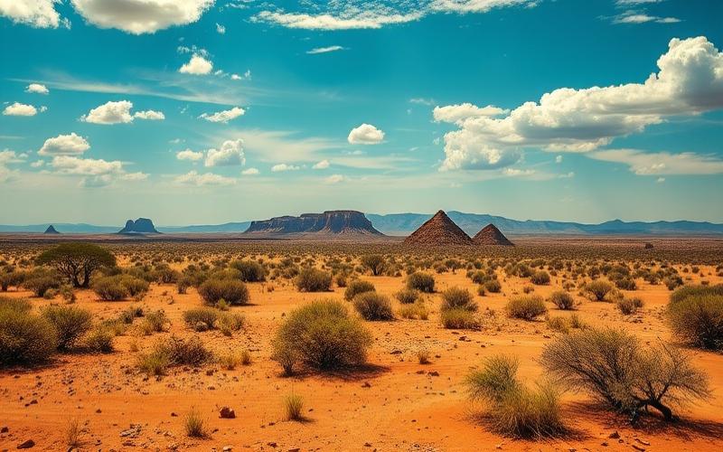
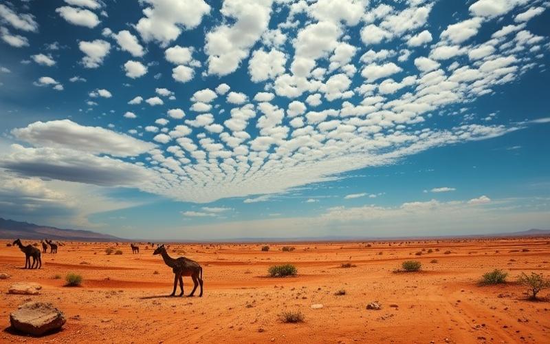
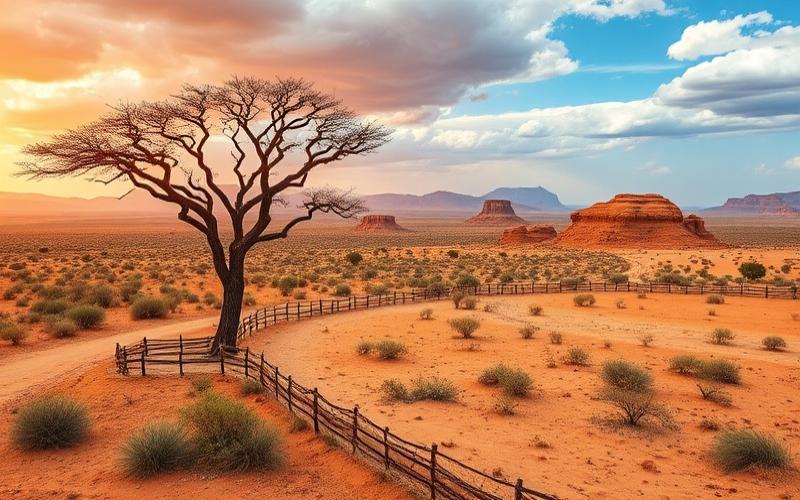
This fascinating country, whose geography is a mosaic of vast plateaus, rolling grasslands, and arid deserts, provides varied habitats for exceptional wildlife including the famous Big Five.
The Cape region, with its unique biodiversity, is home to world-renowned vineyards, while Kruger National Park, a wildlife sanctuary, spans a vast area ideal for unforgettable safaris.
This dynamic and ever-evolving territory intrigues with its juxtaposition of fertile landscapes and semi-deserts, each telling the story of a country seeking its ecological and economic balance.
Geographical Location of South Africa
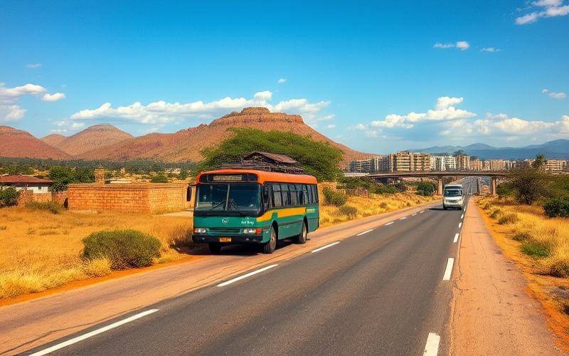
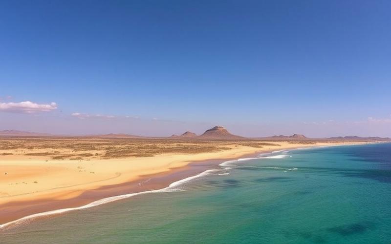
South Africa occupies the southernmost tip of the African continent, covering an area of over 1.2 million square kilometers. Its strategic position gives it an extensive coastline of approximately 2,850 km, bordered to the west by the Atlantic Ocean and to the east by the Indian Ocean, making the country a natural crossroads between the African continent and major international shipping routes.
| Neighboring Country | Border Length (km) |
|---|---|
| Namibia | 1,005 |
| Botswana | 1,969 |
| Zimbabwe | 230 |
| Mozambique | 496 |
| Eswatini | 438 |
Lesotho is completely landlocked within South African territory.
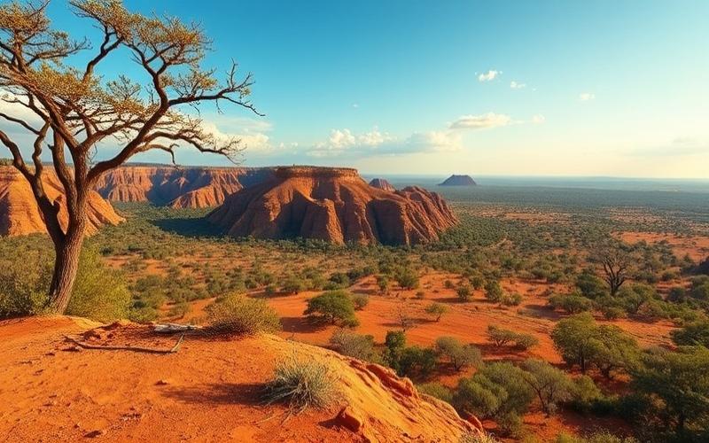
Main Geographical Features
- The Cape of Good Hope, located near Cape Town, symbolically marks the meeting point of the two oceans.
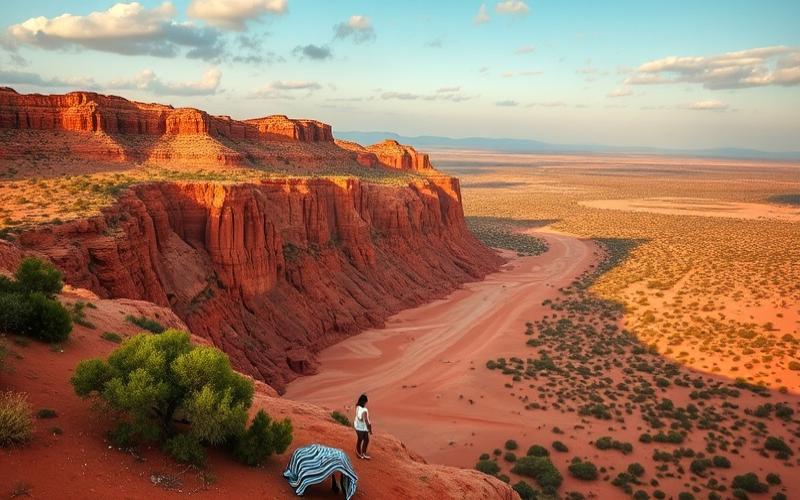
- The Drakensberg mountain range extends mainly through KwaZulu-Natal province, forming a natural barrier to the east and constituting the country’s highest point.
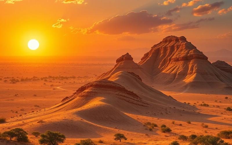
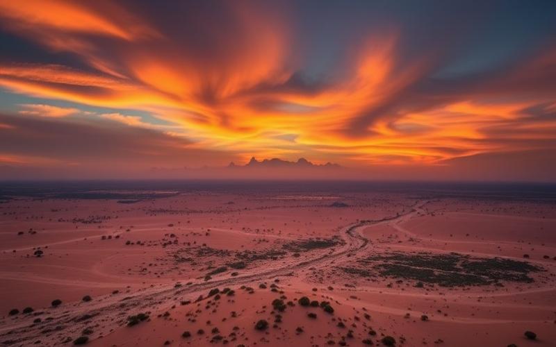
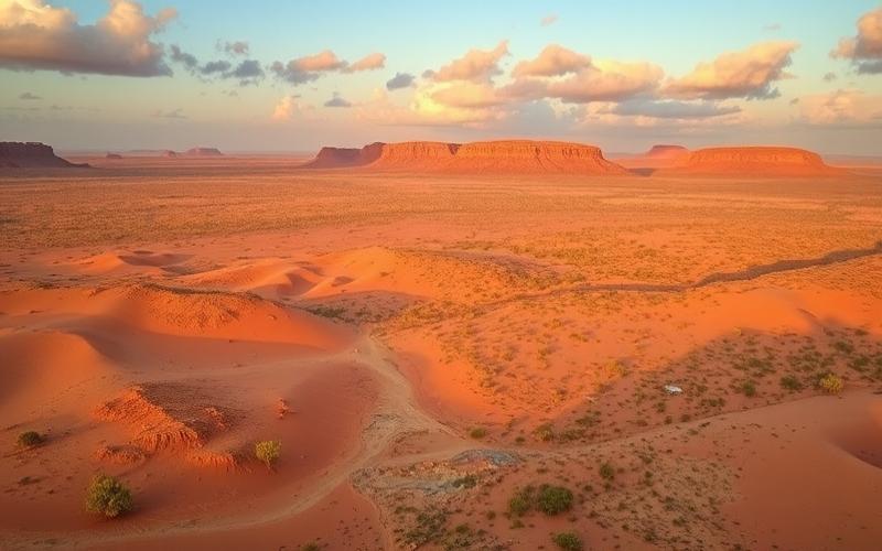
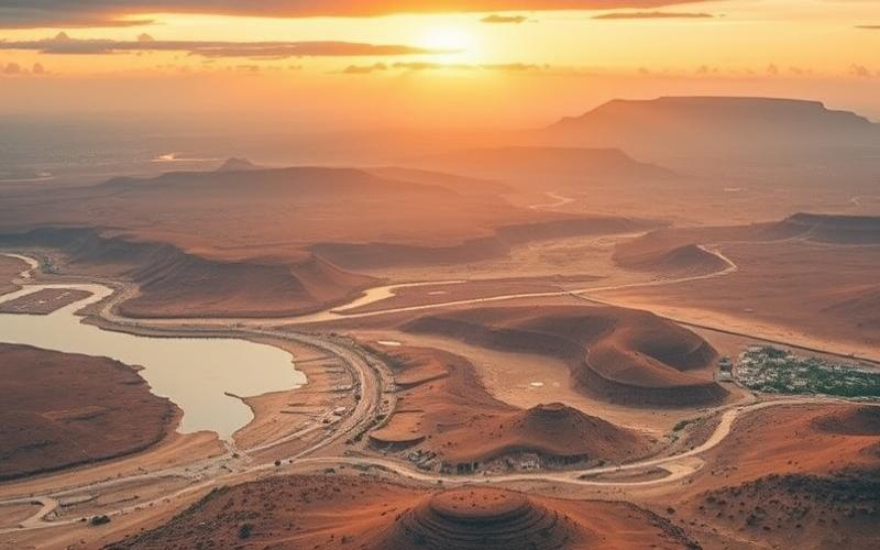
- The escarpment known as the Great Escarpment separates the coast from a vast semi-arid central plateau.
List of Geopolitical Implications
- Positioning as a regional hub for maritime trade thanks to its major ports (Cape Town, Durban, Port Elizabeth) facilitating transit between Europe, Asia, and Southern Africa.
- Control of access to strategic sea routes linking the Atlantic and Indian Oceans.
- Increased influence on intra-African trade via its land borders with six neighboring countries.
The topographical diversity combined with this geographical location thus reinforces South Africa’s central role in international and regional trade flows.
Good to Know:
South Africa, located at the southern tip of the African continent, borders Namibia, Botswana, Zimbabwe, Mozambique, and Eswatini, and has strategic access to the Atlantic and Indian Oceans, thereby facilitating maritime trade between the two hemispheres. The Cape of Good Hope and the Drakensberg Mountains are significant geographical features influencing the local climate and ecosystems.
Main Regions of South Africa
Central Highveld Plateau
- Relief: High-altitude plateau between 1,200 and 1,800 m, heart of the country, surrounded by the Great Escarpment.
- Climate: Temperate, hot and stormy summers, dry and cold winters.
- Ecosystems: Dominated by grasslands (veld) rich in grasses, habitat for numerous antelope and bird species.
- Cultural/Economic Importance: Densely populated region, industrial and mining heartland (gold, coal), economic engine with the major metropolises of Gauteng (Johannesburg, Pretoria).
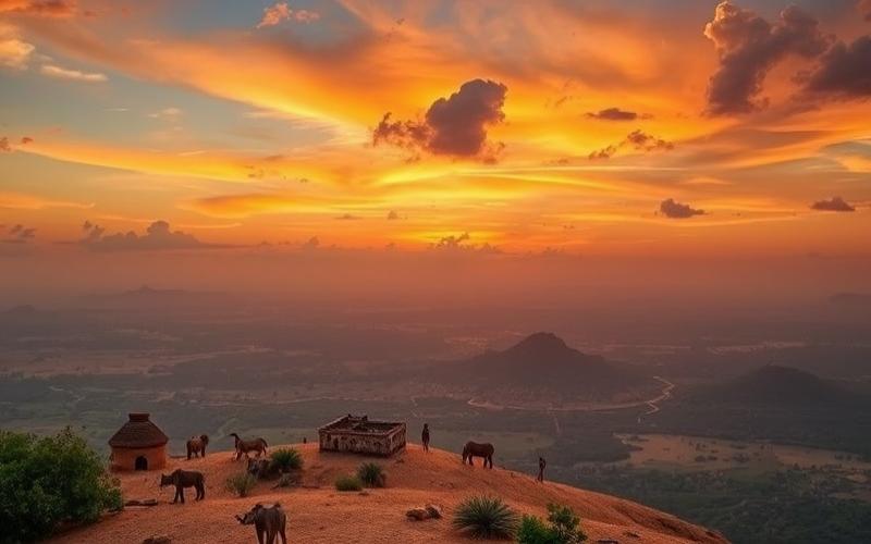
Drakensberg Mountains
- Relief: Major mountain range, peaking at over 3,200 m (highest point: Mafadi at 3,450 m).
- Climate: Wetter on eastern slopes, snow in winter on peaks.
- Ecosystems: Forests, high-altitude heathlands, endemic flora, numerous waterfalls; home to exceptional biodiversity, classified as a World Heritage site.
- Influence: Source of many rivers, recreational area, strong cultural symbolism for local populations (Zulus and Sothos).
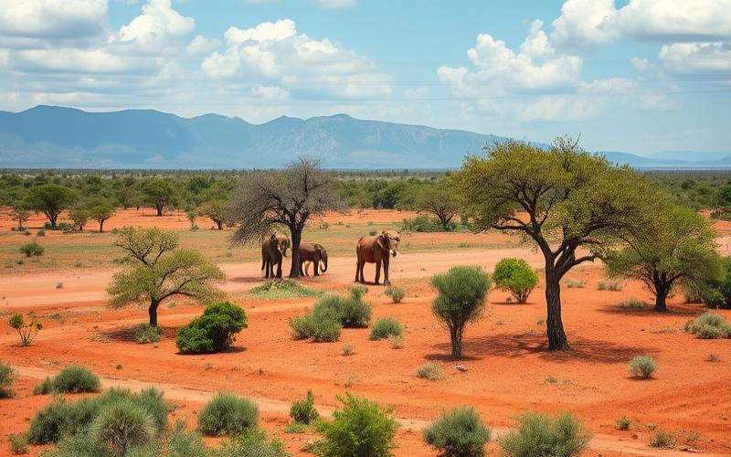
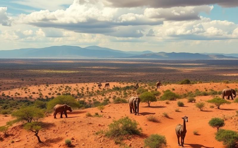
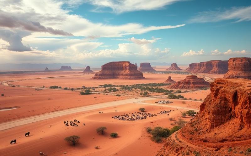
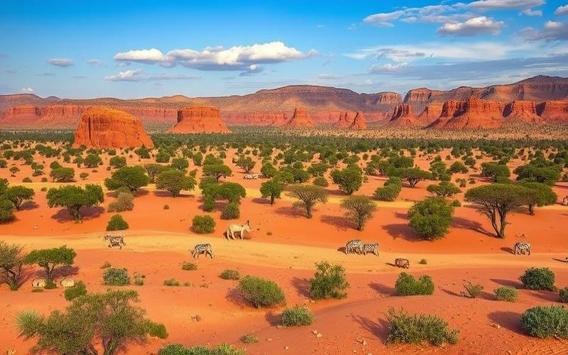
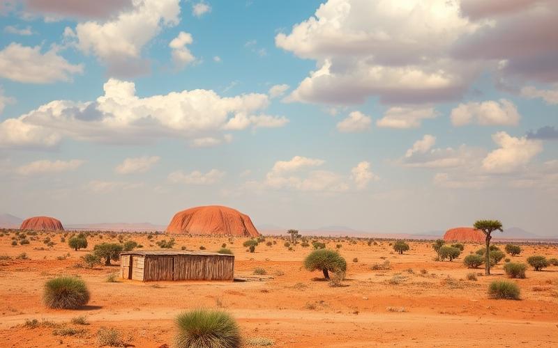
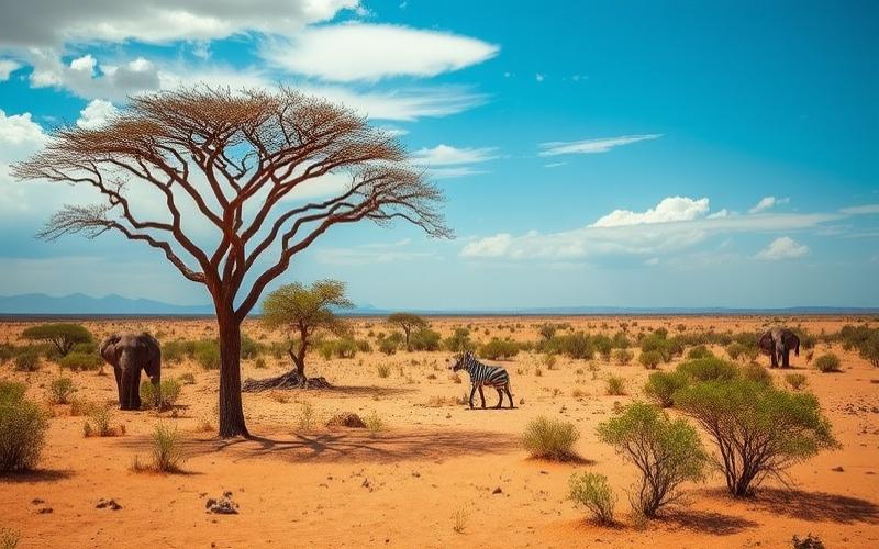
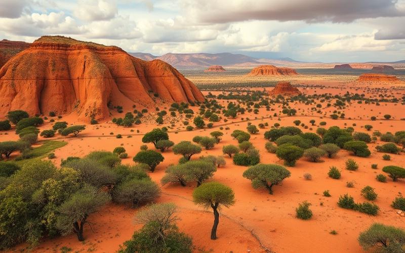
Lowveld Savanna
- Relief: Low-lying plain, bordering the plateau to the east, altitude of 150 to 600 m.
- Climate: Hot and humid subtropical, marked summer rainfall.
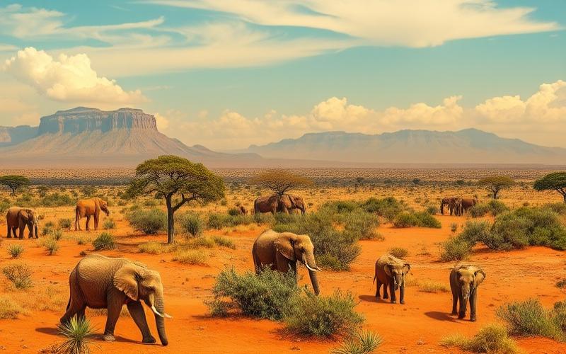
- Ecosystems: Wooded savanna, major national parks (Kruger), iconic wildlife (elephants, lions, rhinos, buffalo, leopards).
- Ecological Role: Major reservoir of biodiversity, safari tourism, pillar of the rural economy.
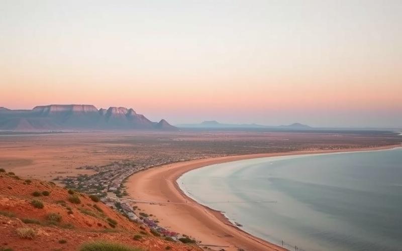
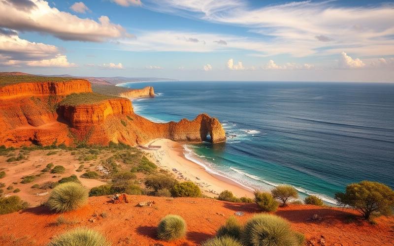
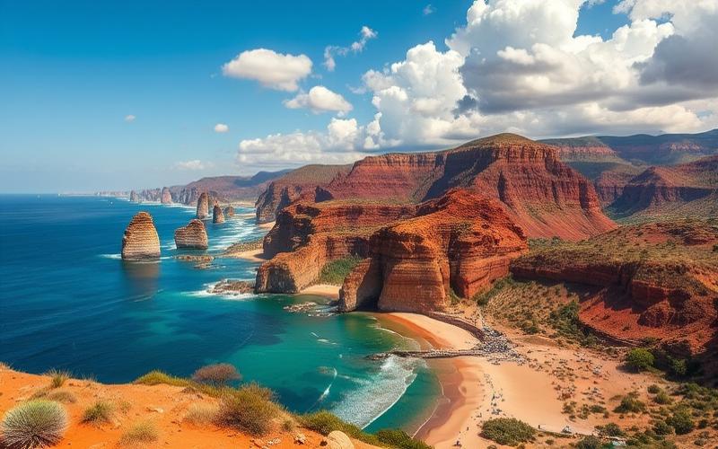
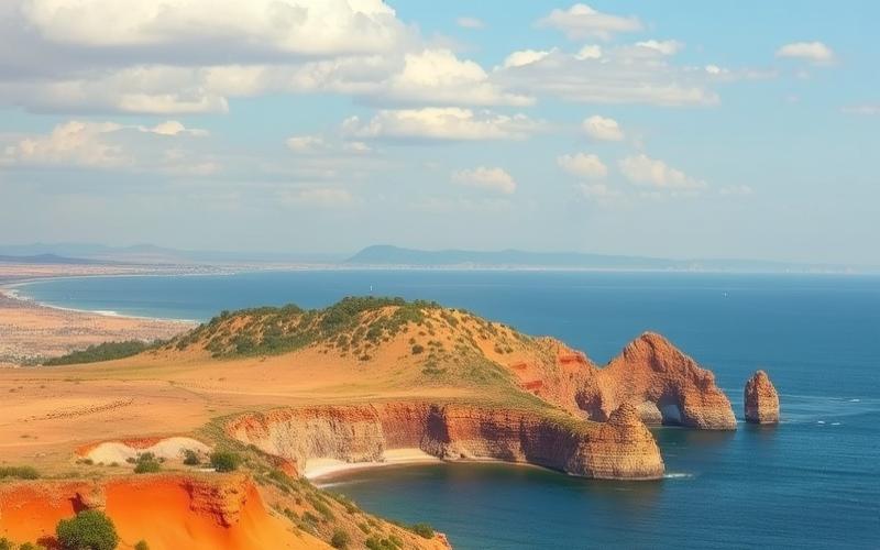
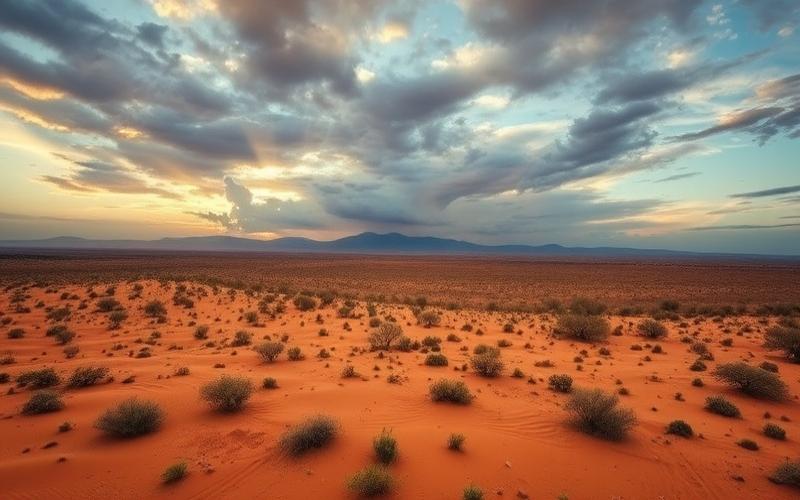
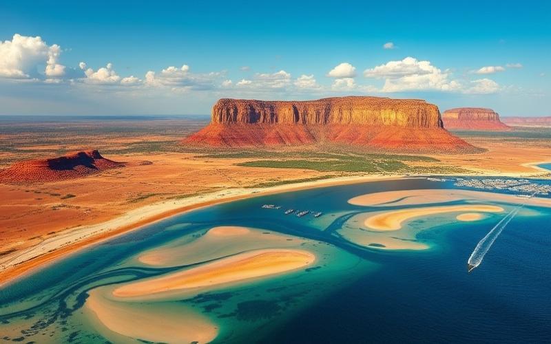
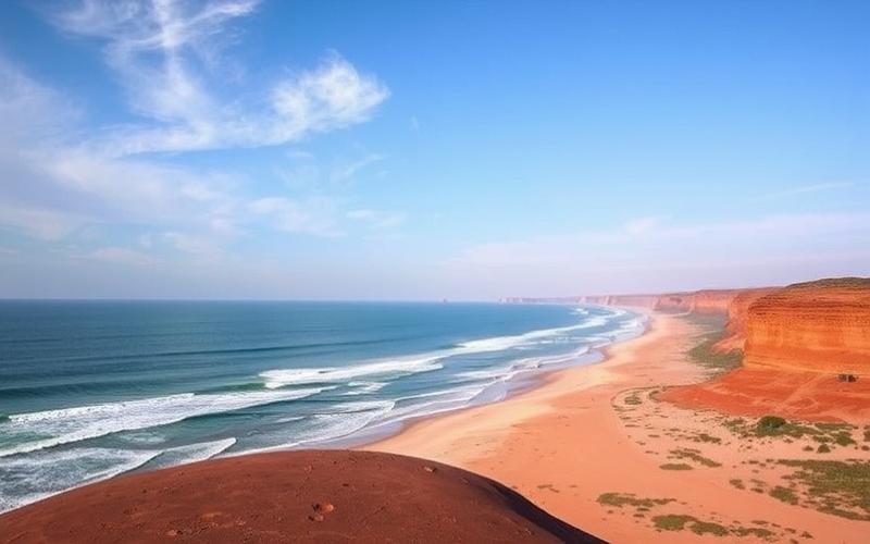
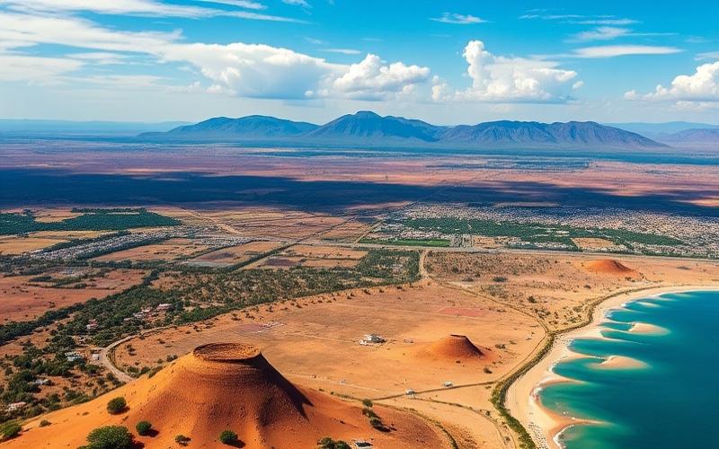
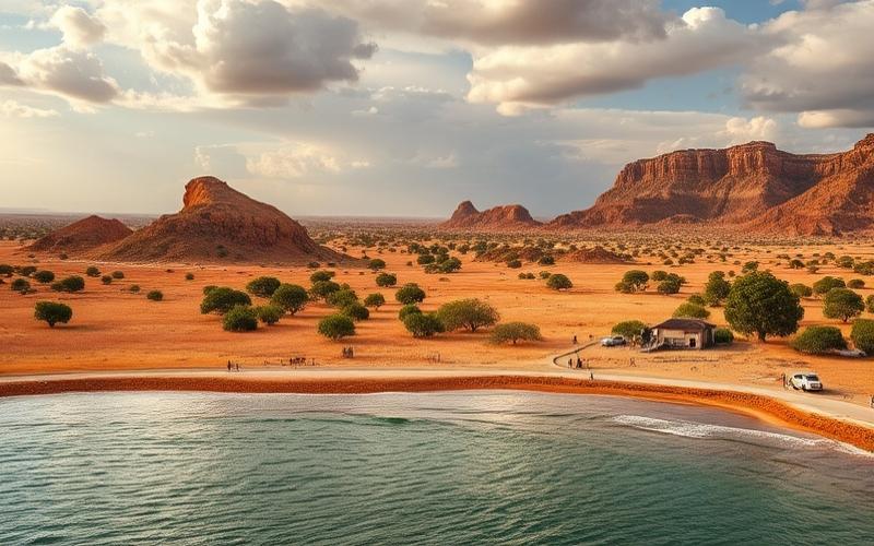
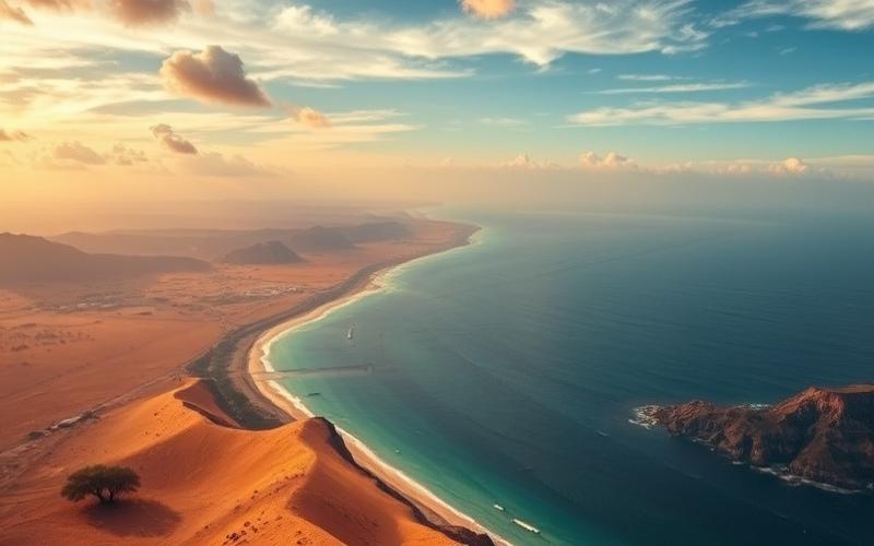
Atlantic Coasts
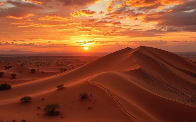
- Relief: Narrow coastal plains, cliffs, semi-desert areas (Namib, Kalahari nearby).
- Climate: Mediterranean in the southwest (Cape), arid in the north (proximity to the Namib Desert).
- Ecosystems: Cape Fynbos (unique Mediterranean flora), wetlands, significant plant diversity.
- Economy: Fishing, viticulture (Western Cape), Port of Cape Town.
Indian Ocean Coasts
- Relief: Wider coastal plain, hills, and estuaries.
- Climate: Humid subtropical, abundant rainfall.
- Ecosystems: Mangroves, coastal forests, beaches, coral reefs in the north.
- Influence: Major ports (Durban), beach tourism, sugarcane cultivation.
Comparison Table of Main Regions
| Region | Relief | Climate | Ecosystems | Socio-economic Role |
|---|---|---|---|---|
| Highveld | Plateau, 1200-1800 m | Temperate, dry/humid | Grasslands | Industry, mining, metropolises |
| Drakensberg | Mountains, >3200 m | Temperate, snow | Heathlands, forests, endemic flora | Water, tourism, culture |
| Lowveld | Plain, 150-600 m | Humid subtropical | Savanna, national parks | Tourism, agriculture |
| Atlantic Coast | Plains, cliffs | Mediterranean/arid | Fynbos, wetlands | Fishing, wine, port |
| Indian Ocean Coast | Plains, hills | Humid subtropical | Forests, mangroves, beaches | Commerce, tourism, agriculture |
Key Metropolitan Regions
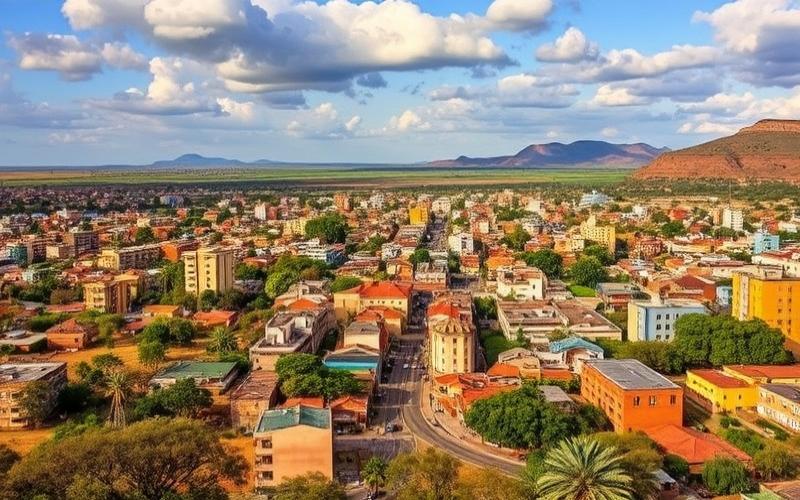
- Gauteng (Johannesburg, Pretoria): Smallest province by area but the most populous and urbanized. Economic, financial, and industrial center of the country. Blend of South African and African cultures, strong demographic dynamism.
- Western Cape (Cape Town): Mediterranean climate region, famous for its biodiversity (fynbos), vineyards, and historic port. Cape Town, the legislative center, is marked by its cultural diversity and tourist appeal.
- KwaZulu-Natal (Durban, Pietermaritzburg): Coastal region with a humid subtropical climate. Great ethnic diversity (Zulus, Indians, Europeans), major port hub (Durban), importance in agro-industry (sugarcane, fruits).
Landscape Diversity and Ecological Importance
South Africa stands out for its mosaic of landscapes: mountains, plateaus, savannas, deserts, coastlines, and wetlands.
This diversity fosters exceptional ecological richness, hosting many unique ecosystems, several World Heritage sites, and an iconic wildlife heritage (Big Five, fynbos, endemic flora).
Regional differences influence culture (languages, lifestyles, traditions) and the economy (distribution of industries, agriculture, tourism).
The geographical diversity of South Africa explains both the richness of its biodiversity and the complexity of its human, economic, and cultural development.
Good to Know:
The Highveld plateau is a vital area for grain agriculture inland, while the Drakensberg Mountains offer ideal conditions for hiking and the preservation of various endemic species.
Major Cities of South Africa
| City | Population (2023) | Economic Importance | Geographical Importance | Cultural Importance | Major Infrastructure | Attractions and Features |
|---|---|---|---|---|---|---|
| Johannesburg | 3.2 million | Main financial center, Africa’s most active stock exchange, mining industries (gold, diamonds), commercial hub | Located on the Witwatersrand plateau, gold-bearing region, crossroads of Gauteng | Cosmopolitan city, artistic dynamism, numerous museums (Apartheid Museum), theater | OR Tambo International Airport, dense rail and road networks, modern skyscrapers | Apartheid Museum, Constitution Hill, trendy neighborhoods (Maboneng, Braamfontein), mining heritage, modern architecture and colonial remnants |
| Cape Town | 2.9 million | Tertiary sector, major port, wine industries, tourism | Cape Peninsula, between the Atlantic and Indian Oceans, at the foot of Table Mountain | Multicultural city, cradle of the rainbow nation, hub of arts and design | International port, airport, MyCiTi bus networks, developed tourist infrastructure | Table Mountain, Robben Island, V&A Waterfront, beaches, Victorian architecture, Cape Dutch |
| Durban | 3 million | Leading port in Southern Africa, agro-processing industries, chemicals, beach tourism | East coast, bordered by the Indian Ocean, subtropical climate | Blend of Zulu, Indian, European cultures, festivals (International Film Festival) | Port of Durban, highway network, King Shaka Airport, ICC convention center | Golden Mile, uShaka Marine World, Indian markets, botanical gardens, Art Deco buildings |
| Pretoria | ~2 million* | Administrative capital, seat of government, research and higher education hubs | In the north of the country, in Gauteng, Apies River valley | University city, numerous monuments, architectural diversity (Victorian, Art Deco) | Road and rail networks, universities, government buildings | Union Buildings, jacaranda gardens, Voortrekker Monument, museums, residential ambiance |
| Port Elizabeth (Gqeberha) | ~1.2 million* | Automotive industry (General Motors, Volkswagen), port, coastal tourism | South coast, Algoa Bay, gateway to the Garden Route | Coastal city, rich colonial heritage, cultural diversity | Port, airport, road axes (N2), sports infrastructure | Beaches, Boardwalk, Donkin Reserve, maritime museums, Victorian and Edwardian architecture |
*Estimated population, recent official data varies by source.
Johannesburg
Africa’s wealthiest metropolis, Johannesburg embodies post-apartheid urban transformation with its contrasting neighborhoods, significant social disparities, and architectural innovations. It is the country’s economic and financial heart, but also a social and cultural laboratory, exposing the diversity and fractures of South African society.
Cape Town
Known for its spectacular natural beauty, Cape Town is also a city with a rich historical past (first European colony, site of Robben Island where Nelson Mandela was imprisoned). Its port and wine industry make it a key economic player, while its artistic dynamism radiates internationally.
Durban
A strategic port center, Durban is also the most “Indian” city in South Africa, a legacy of immigration under the British Empire. Its waterfront, beaches, and climate make it a major tourist destination, especially for water sports.
Pretoria
The administrative capital, Pretoria is distinguished by its wide avenues lined with flowering jacarandas, its government and university institutions, and its history linked to the Voortrekkers and the construction of the South African state.
Port Elizabeth (Gqeberha)
Gateway to the famous Garden Route, Port Elizabeth is renowned for its beaches, water activities, and automotive industry. Its architecture reflects colonial history, and the city stands out for its relaxed atmosphere and coastal biodiversity.
Key Takeaways:
- Each major South African city plays a structuring role in national development, whether through its economic weight, political function, historical heritage, or cultural vitality.
- Their architectural and urban diversity reflects different waves of settlement, colonial legacies, and post-apartheid transformations.
- Infrastructure (ports, airports, universities, transport networks) enhances their attractiveness and influence, both nationally and internationally.
Good to Know:
The Apartheid Museum in Johannesburg offers a poignant dive into South African history, while the Victoria & Alfred Waterfront in Cape Town attracts visitors with its mountain views and varied shops.
Neighboring Countries of South Africa
| Border Country | Border Length (km) | Notable Geographical Features | Main Border Posts | Importance for Trade |
|---|---|---|---|---|
| Namibia | 1,005 | Border marked by the Orange River in the west, desert area, sparsely populated. | Vioolsdrif-Noordoewer, Nakop-Ariamsvlei | Key passage for regional trade, especially for road and rail transport of goods. |
| Botswana | 1,969 | Longest border, savanna landscapes, presence of the Limpopo River. | Groblersbrug-Martin’s Drift, Ramatlabama, Skilpadshek | Major axis for import/export, especially for road transport to northern Southern Africa. |
| Zimbabwe | 230 | Mainly demarcated by the Limpopo River, semi-arid region. | Beitbridge | Beitbridge is the busiest post in the region, essential for goods exchange and movement of people to Central and Eastern Africa. |
| Mozambique | 496 | Mountainous relief, Limpopo and Komati rivers, subtropical climate. | Lebombo-Ressano Garcia, Komatipoort | Gateway to the port of Maputo, facilitating South African exports to the Indian Ocean. |
| Eswatini | 438 | Rolling relief, rivers, proximity to Kruger National Park. | Oshoek, Ngwenya, Mahamba | Close economic exchanges, significant daily traffic of cross-border workers. |
| Lesotho | 1,106 | Mountainous enclave, Drakensberg range, high altitude. | Maseru Bridge, Caledonspoort, Sani Pass | Lesotho is economically dependent on South Africa, intensive exchange of goods, services, and labor. |
Major Geographical Features:
- The Orange River marks the border with Namibia.
- The Limpopo River separates South Africa from Zimbabwe and, in part, from Botswana and Mozambique.
- Lesotho is a landlocked country, entirely surrounded by South Africa, with mainly mountainous relief (Drakensberg).
Geopolitical and Economic Impact of Neighbors:
- Transport Networks: Borders serve as major logistics corridors linking Southern Africa to global markets via South African ports (Durban, Port Elizabeth, Cape Town).
- Regional Trade: Trade with neighboring countries represents a significant share of South African imports and exports, particularly for manufactured goods, agricultural products, and energy.
- Migration and Employment: Hundreds of thousands of workers, particularly from Lesotho, Zimbabwe, and Mozambique, cross the borders daily to work in South Africa.
- Security Issues: Immigration control, combating smuggling and cross-border crime are constant challenges, especially at heavily trafficked crossing points like Beitbridge and Lebombo.
Main Border Posts and Their Importance:
- Beitbridge (Zimbabwe): Primary post in volume for goods and travelers between South Africa and the rest of Central and Eastern Africa.
- Lebombo/Ressano Garcia (Mozambique): Strategic access to the port of Maputo, essential for exporting minerals, coal, and agricultural products.
- Groblersbrug-Martin’s Drift (Botswana): Vital road axis for the trans-African corridor.
- Maseru Bridge (Lesotho): Main entry/exit point for labor and goods between Lesotho and South Africa.
Synthetic List of Major Border Posts:
- Beitbridge (Zimbabwe)
- Lebombo/Ressano Garcia (Mozambique)
- Groblersbrug-Martin’s Drift (Botswana)
- Ramatlabama (Botswana)
- Skilpadshek (Botswana)
- Oshoek (Eswatini)
- Maseru Bridge (Lesotho)
- Caledonspoort (Lesotho)
- Sani Pass (Lesotho)
South Africa shares 5,244 km of land borders with six countries: Namibia, Botswana, Zimbabwe, Mozambique, Eswatini, and Lesotho. These borders structure the regional economic dynamic, facilitate trade, the movement of people, and pose major security challenges. The main border posts, such as Beitbridge and Lebombo, are essential logistics nodes for Southern Africa.
Good to Know:
South Africa shares borders with Lesotho (909 km), Eswatini (430 km), Zimbabwe (225 km), Namibia (967 km), Botswana (1,969 km), and Mozambique (491 km), where the Komatipoort border post is crucial for trade; the Kalahari in the north, and exchanges with Botswana strengthen economic relations with SADC.
Disclaimer: The information provided on this website is for informational purposes only and does not constitute financial, legal, or professional advice. We encourage you to consult qualified experts before making any investment, real estate, or expatriation decisions. Although we strive to maintain up-to-date and accurate information, we do not guarantee the completeness, accuracy, or timeliness of the proposed content. As investment and expatriation involve risks, we disclaim any liability for potential losses or damages arising from the use of this site. Your use of this site confirms your acceptance of these terms and your understanding of the associated risks.
Cyril Jarnias is an independent expert in international wealth management with over 20 years of experience. As an expatriate himself, he is dedicated to helping individuals and business leaders build, protect, and pass on their wealth with complete peace of mind.
On his website, cyriljarnias.com, he shares his expertise on international real estate, offshore company formation, and expatriation.
Thanks to his expertise, he offers sound advice to optimize his clients' wealth management. Cyril Jarnias is also recognized for his appearances in many prestigious media outlets such as BFM Business, les Français de l’étranger, Le Figaro, Les Echos, and Mieux vivre votre argent, where he shares his knowledge and know-how in wealth management.