Published on and written by Cyril Jarnias
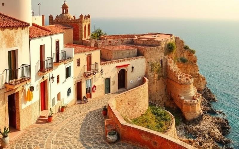
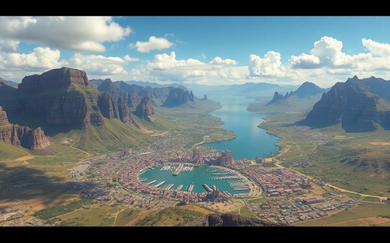
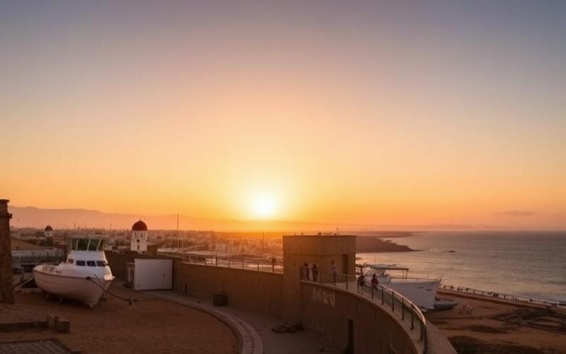
Situated at the crossroads of three continents—Africa, Europe, and Asia—Tunisia is a country offering exceptionally rich geographical diversity.
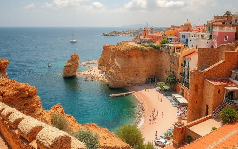
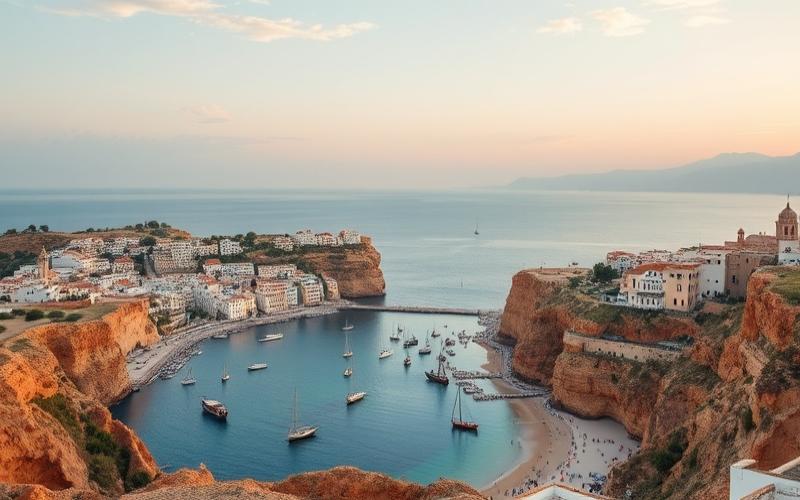
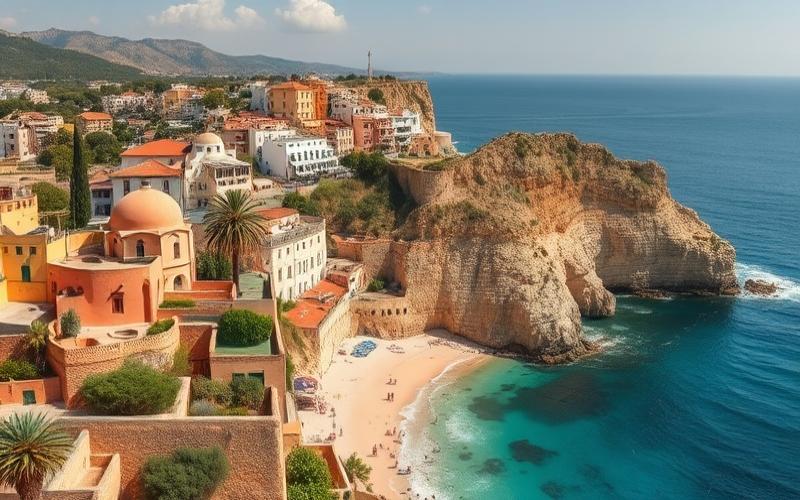
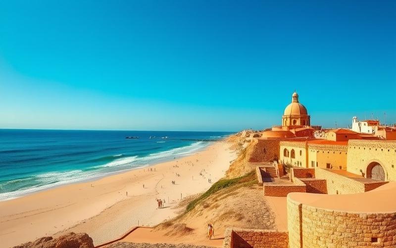
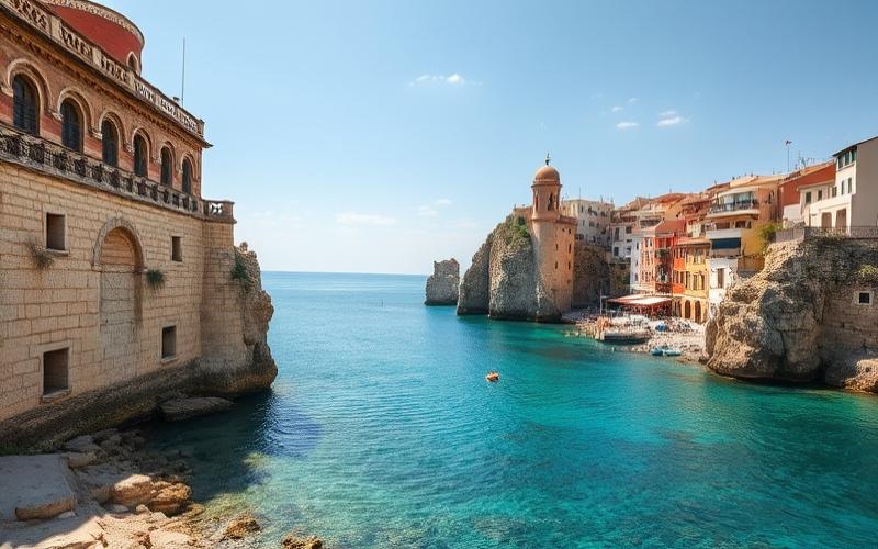
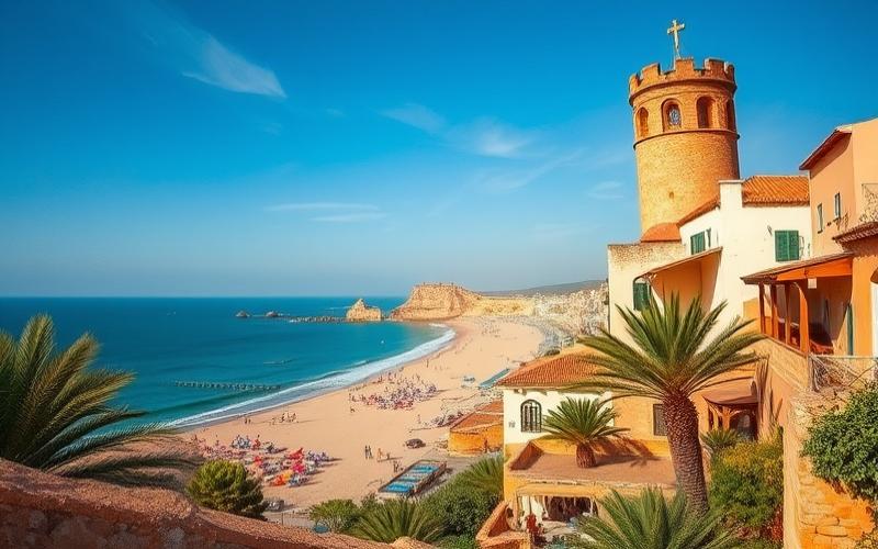
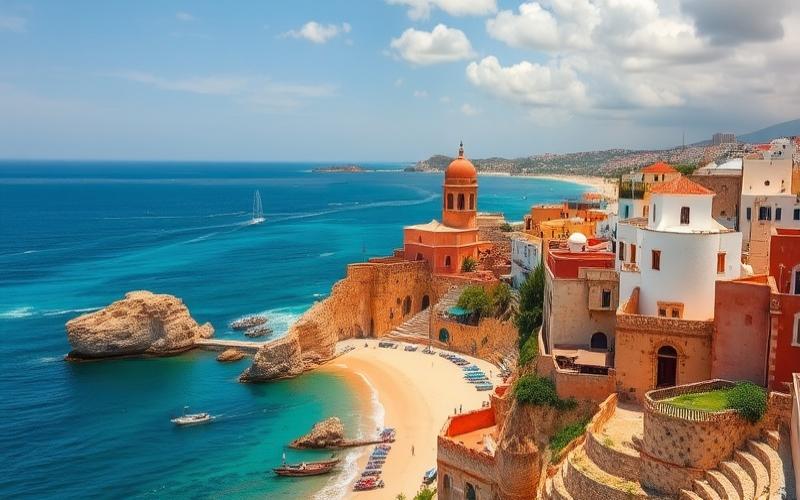
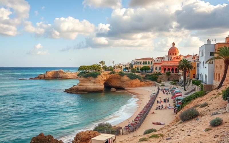
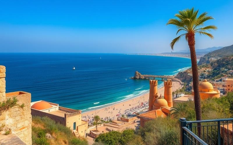
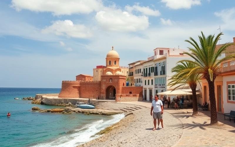
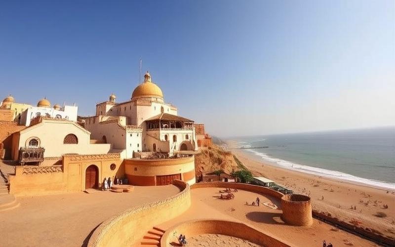
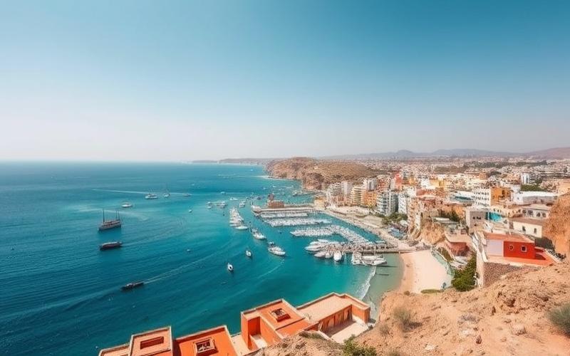
Bordered to the north and east by the Mediterranean Sea, it boasts an attractive coastline stretching over 1,300 kilometers.
Inland, fertile plains such as the Medjerda Plain contrast with the majestic Atlas mountain ranges.
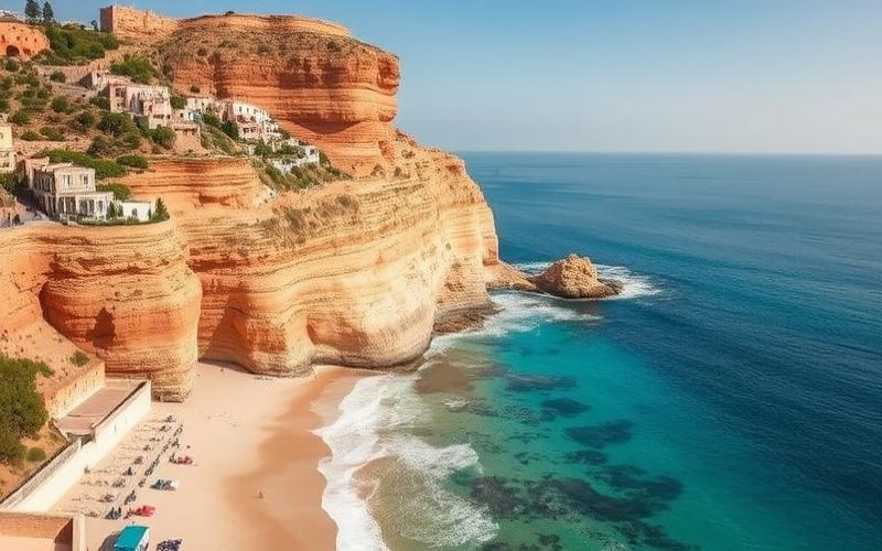
Further south, the landscape gradually transforms into arid zones, giving way to the vast expanses of the Sahara Desert, where incredible oases are revealed.
This geographical diversity makes Tunisia a fascinating country to explore, promising visitors and the curious a multitude of astonishing discoveries.
General Geography of Tunisia
Tunisia features diverse geography that influences its climate, economy, and population distribution.
| Characteristic | Detail |
| Total Area | 163,610 km² |
| Geographical Position | North Africa, Maghreb, northernmost point of the African continent |
| Coordinates | Between 31° and 37° N, 7° and 12° E |
| Time Zone | UTC+1 |
| Capital | Tunis |
Borders and Coastline
- Land Borders:
- Algeria: 965 km
- Libya: 459 km
- Mediterranean Coastline: approximately 1,298 to 2,290 km (depending on calculation of island and artificial coastlines)
- Separated from Europe by 140 km at the Strait of Sicily
Main Geographical Regions
- Mountainous North:
- Atlas mountain ranges, including the Kroumirie
- Highest point: Djebel Chambi (1,544 m)
- Hills, forests, and fertile valleys
- Central Region:
- Plateaus, coastal plains (Tunisian Sahel)
- Areas of cereal crops and olive groves
- Desert South:
- Tunisian Sahara (33 to 40% of the territory)
- Presence of Chotts (salt lakes: Chott el Jerid, Chott el Gharsa)
- Dunes of the Grand Erg Oriental
| Region | Topography and Landscapes | Land Use |
| North | Mountains, forests, valleys | Cereals, forests |
| Center | Plateaus, coastal plains | Olive trees, irrigated crops |
| South | Deserts, chotts, dunes | Arid zones, natural pastures |
Main Topographical Features and Deserts
- Djebel Chambi (1,544 m): highest point
- Atlas Mountain Range: extension to the northwest
- Grand Erg Oriental: vast dune system in the south
- Chotts: intermittent salt flats, notably Chott el Jerid
Rivers and Hydrology
- Medjerda: country’s main river, crosses the north and irrigates agricultural lands
- Lake of Bizerte: largest body of water
- Chotts: temporary salt lakes, major hydrological role in the south
Climate and Variations
- Mediterranean climate in the north and east: mild winters, hot and dry summers
- Semi-arid to arid climate in the center and south: low precipitation, large temperature variations
- Climate variations are determined by latitude, proximity to the sea, and presence of relief features
Geographical Impacts on Climate, Economy, and Demography
- Mediterranean climate promotes agriculture (cereals, olive trees) and population concentration in the north and along the coasts
- Arid southern regions: low population density, pastoral activities and oases
- Relief features: influence rainfall distribution and biodiversity
- Extensive coastline: development of tourism and maritime activities
Influence on Biodiversity and Ecosystems
- Northern forests: cork oaks, pines, Mediterranean wildlife (wild boars, migratory birds)
- Wetlands: chotts and lagoons, habitat for migratory birds and salt-adapted species
- Southern desert: flora and fauna adapted to aridity (acacias, reptiles, small mammals)
- Varied ecosystems: diversity linked to the mosaic of climates and relief features
| Tunisian Ecosystems | Location | Main Species |
| Mediterranean forests | North | Cork oaks, wild boars, birds |
| Wetlands (chotts) | South and center | Flamingos, halophilic species |
| Saharan desert | South | Acacias, jerboas, reptiles |
Summary of Key Elements
Tunisia, a Maghreb country, stands out for the diversity of its landscapes, from the mountainous north to the desert south. Its climate and geography shape the economy (agriculture, tourism), population distribution, and the richness of its native ecosystems.
Good to Know:
Tunisia, with an area of 163,610 km², borders the Mediterranean Sea for 1,148 km and shares land borders with Algeria and Libya, while the Atlas and Sahara influence its biodiversity; its regions vary from the mountainous north to the desert south, thus modulating its Mediterranean climate and agricultural activities.
The Country’s Main Geographical Regions
| Region | Topographical Characteristics | Climate | Population Distribution | Economic Impact |
|---|---|---|---|---|
| North (Tunisian Dorsale, Medjerda Plain) | Mountain ranges (djebels Serj, Semmama, Zaghouan), plateaus, Medjerda Valley | Humid Mediterranean, high rainfall (up to 750 mm/year) | High density, major cities (Tunis, Béja) | Cereal agriculture, market gardening, water resources, green tourism |
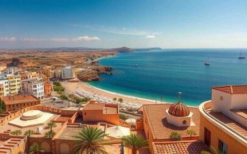
| Cap Bon | Peninsula alternating plains, hills, mountain slopes (Djebel Ben Ouli, 637 m) | Mild Mediterranean, high rainfall | Dense population, cities: Nabeul, Hammamet, Kélibia | Citrus farming (70% of citrus fruits), market gardening, viticulture, fishing, crafts, beach tourism |
| Sahel | Coastal plains, lagoons, tombolos, fossil dunes | Dry climate, moderate rainfall (about 500 mm/year) | Medium-sized cities: Sousse, Monastir, Mahdia | Olive cultivation (olive groves), beach tourism, fishing, textiles |
| Center (Sidi Bouzid, Kairouan) | Plateaus, semi-arid zones, some relief features | Semi-arid climate, low rainfall | Less dense population, cities: Sidi Bouzid, Kairouan | Cereal farming, livestock, mineral resources (phosphate), irrigated agriculture |
| South (Sahara, Gabès, Tataouine) | Desert (erg, regs, sebkhas), oases, Saharan mountains | Arid to desert climate, very low rainfall | Population dispersed in oases | Saharan tourism, dates, solar energy, mineral resources |
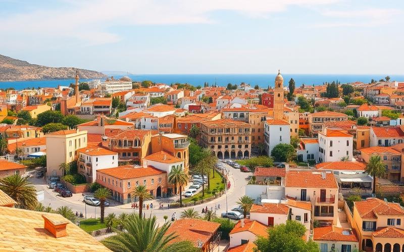
Tunisia’s Largest Cities
| City | Population (2025) | Economic Importance | Historical and Cultural Role | Tourist/Geographical Attractions | Infrastructure and Services |
|---|---|---|---|---|---|
| Tunis | 1,080,000 (city) / 2,545,000 (metropolitan area) | Country’s primary metropolis, political, administrative and financial center, industrial, service and logistics hub. | Historic capital since medieval times, birthplace of the 2011 revolution, cultural mosaic (medina, Ottoman influences). | UNESCO-listed Medina, Habib Bourguiba Avenue, Bardo Museum, Carthage, Sidi Bou Saïd, Lake of Tunis. | Light metro, tramway, dense bus network, international airport, commercial port, universities, hospitals. |
| Sfax | 277,000 (city) / 1,031,000 (governorate) | Second economic hub, industrial capital (phosphates, oils, fishing, textiles), major commercial port. | Founded in the 9th century, known for its authentic medina, engine of the Tunisian economy. | Medina, ramparts, archaeological museum, nearby Kerkennah Islands. | Port, international airport, industrial zone, bus and taxi network, university hospitals. |
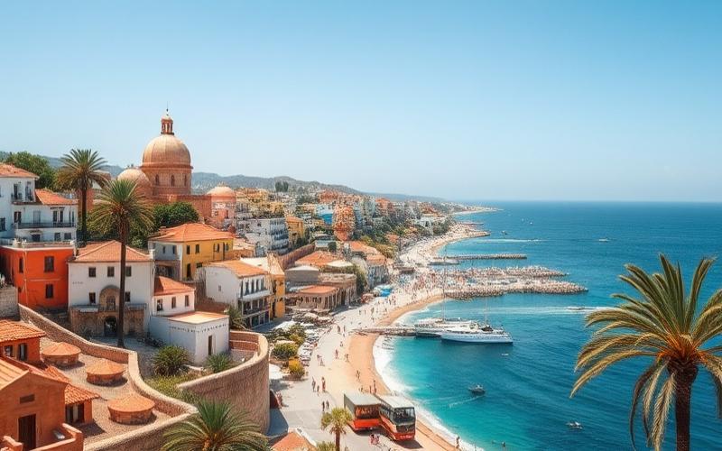
| Sousse | 164,000 (city) / 757,000 (governorate) | Third largest city, beach tourism center (resorts, hotels), agri-food and textile industry. | Historic city founded by the Phoenicians, UNESCO heritage, maritime tradition. | UNESCO-listed Medina, ribat, beaches, Port El Kantaoui, catacombs, museums. | Railway station, pleasure and commercial port, highway, urban transport, hotel infrastructure. |
| Kairouan | 119,000 (city) / 570,000 (governorate) | Religious city, agricultural center (olive trees, cereals), crafts (famous carpets). | First Islamic capital of the Maghreb, holy city of Islam (Great Mosque), cultural and spiritual influence. | Great Mosque of Uqba, Aghlabid Basins, UNESCO-listed medina, souks, mausoleums, tapestries. | Bus station, major road axes, markets, hospital facilities, religious institutions. |
Distinctive Points and Summary
Tunis: political and economic capital, cosmopolitan metropolis, transport hub (Tunis-Carthage Airport, La Goulette Port), highly diverse cultural and university offerings.
Sfax: industrial and port engine, authenticity of its medina, departure point for the Kerkennah Islands, strong entrepreneurial dynamism.
Sousse: capital of beach tourism, intense hotel activity, major historical heritage, strategic position on the coastal axis.
Kairouan: holy city, major Muslim pilgrimage site, exceptional Islamic heritage, center of traditional crafts.
Major Services and Infrastructure in These Cities
- Developed transport networks (roads, stations, ports, airports depending on the city)
- Universities, regional hospitals, cultural centers
- Dense commercial activity (markets, shopping centers)
- Hotel accommodation (particularly in Sousse and Tunis)
Demographic Statistics
Tunis remains the only million-plus metropolitan area, Sfax and Sousse are the main regional hubs, Kairouan maintains its cultural and religious influence despite a more modest population.
Attractions and Geographical Characteristics
- Tunis: proximity to the lake, the sea, archaeological site of Carthage
- Sfax: opening onto the Gulf of Gabès, Kerkennah Islands
- Sousse: Mediterranean beaches, Port El Kantaoui
- Kairouan: inland location, Islamic architecture, UNESCO-listed heritage
These four cities play complementary roles in Tunisia’s economic, historical, and cultural fabric.
Good to Know:
Tunis, the dynamic capital with about 2.6 million inhabitants, is home to the UNESCO-listed Medina, while Sfax, important for its industrial activity, is known for its fishing port; Sousse offers popular beaches and modern tourist infrastructure, and Kairouan, a holy city, welcomes thousands of pilgrims each year.
Tunisia’s Borders and Neighboring Countries
Tunisia has two main land borders: to the west with Algeria and to the southeast with Libya.
| Border | Approximate Length | Main Border Points | Geographical Particularities |
|---|---|---|---|
| Algeria | 1,010 km to 1,020 km | Garet El Hamel (tripoint), Bordj El Khadra, Nefta, Kalaat Senan | Rugged terrain in the north (mountains, forests), Saharan part in the south |
| Libya | 459 km | Ras Jedir (main border post), Ben Gardane | Coastal plain of Djeffara, historical transit zone |
Main Border Towns:
- With Algeria: Tabarka, Sakiet Sidi Youssef, Nefta, Hazoua.
- With Libya: Ben Gardane (near Ras Jedir post).
Maritime Borders:
- Northern Coast: Opening onto the Mediterranean Sea, stretching approximately 1,300 km of coastline.
- Major Ports: Tunis (La Goulette), Bizerte, Sfax, Gabès.
Strategic and Economic Importance of Maritime Borders:
- Access to the Mediterranean: Tunisia benefits from a central position in the Mediterranean, favoring trade, tourism, and fishing.
- Control of Migratory Flows: The Tunisian coast serves as a departure or transit point for migratory flows to Europe.
- Maritime Security: Surveillance of the exclusive economic zone is crucial for combating smuggling and preserving fishing resources.
Geopolitical Relations and Issues with Neighbors:
Algeria
- Enhanced security collaboration, particularly in the fight against terrorism, smuggling, and cross-border crime.
- Economic and energy partnerships, but need for increased vigilance in Saharan zones.
- Issues: regional stability, border security, control of armed groups.
Libya
- Fluctuating relations due to political instability in Libya.
- The border is an axis for economic exchanges but also for irregular immigration and smuggling.
- Tunisia had to manage massive influxes of refugees during Libyan crises, notably in 2011.
- Issues: security (construction of barriers, international cooperation), migratory flows, regional stability.
Summary of Current Issues:
Tunisia faces security challenges on its land borders, particularly with Libya.
Its maritime front is a major economic asset but also implies increased responsibility in terms of security and management of human and commercial flows.
Tunisia’s geographical position makes it a strategic crossroads between Africa and Europe, reinforcing the importance of control and cooperation on its land and maritime borders.
Good to Know:
Tunisia shares 965 km of land borders with Algeria to the west and 459 km with Libya to the southeast; its Mediterranean coast plays a key role in trade and regional security. Border towns like Medenine and Tabarka are important points of economic and social exchange, strengthening collaboration with its neighbors despite some geopolitical tensions.
Disclaimer: The information provided on this website is for informational purposes only and does not constitute financial, legal, or professional advice. We encourage you to consult qualified experts before making any investment, real estate, or expatriation decisions. Although we strive to maintain up-to-date and accurate information, we do not guarantee the completeness, accuracy, or timeliness of the proposed content. As investment and expatriation involve risks, we disclaim any liability for potential losses or damages arising from the use of this site. Your use of this site confirms your acceptance of these terms and your understanding of the associated risks.
Cyril Jarnias is an independent expert in international wealth management with over 20 years of experience. As an expatriate himself, he is dedicated to helping individuals and business leaders build, protect, and pass on their wealth with complete peace of mind.
On his website, cyriljarnias.com, he shares his expertise on international real estate, offshore company formation, and expatriation.
Thanks to his expertise, he offers sound advice to optimize his clients' wealth management. Cyril Jarnias is also recognized for his appearances in many prestigious media outlets such as BFM Business, les Français de l’étranger, Le Figaro, Les Echos, and Mieux vivre votre argent, where he shares his knowledge and know-how in wealth management.