Published on and written by Cyril Jarnias
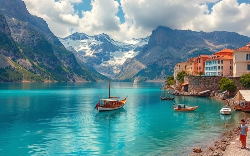
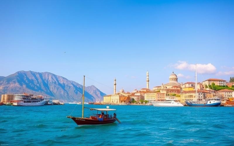
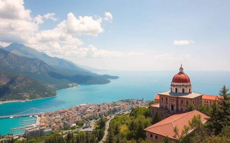
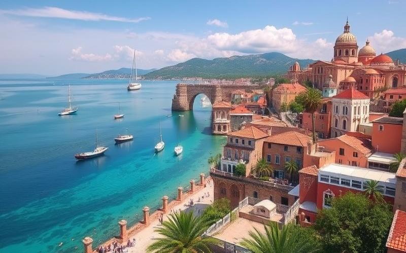
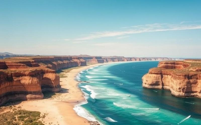
Located at the crossroads of continents, between Europe and Asia, Turkey never ceases to fascinate with its exceptional geographical diversity. Bordered by four seas, including the Mediterranean and the Black Sea, it offers a rich and varied landscape ranging from sunny beaches to the majestic Taurus Mountains.
This natural diversity is also reflected in its climate, which oscillates between Mediterranean and continental influences, thus offering a multitude of microclimates conducive to impressive ecological diversity.
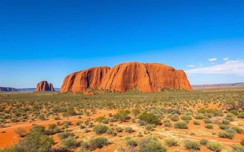
From the famous Pontic Mountains to the vast plains of Anatolia, through the volcanic regions of Cappadocia, every corner of this country holds natural and historical treasures waiting to be discovered.
Geographical Location of Turkey
Turkey is a transcontinental country located at the junction of Europe and Asia, mainly occupying the Anatolian peninsula (Western Asia) and, to a lesser extent, the Eastern Thrace region (Southeastern Europe). Its central coordinates are approximately 39° N, 35° E.
| Border Countries | Border Length (km) |
| Greece | 206 |
| Bulgaria | 240 |
| Georgia | 252 |
| Armenia | 268 |
| Azerbaijan (Nakhchivan) | 9 |
| Iran | 499 |
| Iraq | 331 |
| Syria | 822 |
The territory is bordered by three seas:
- Black Sea to the north
- Aegean Sea to the west
- Mediterranean Sea to the south
The country has a coastline of 7,200 km, also including the Sea of Marmara, which connects the Black Sea and the Aegean Sea, and several coastal islands.
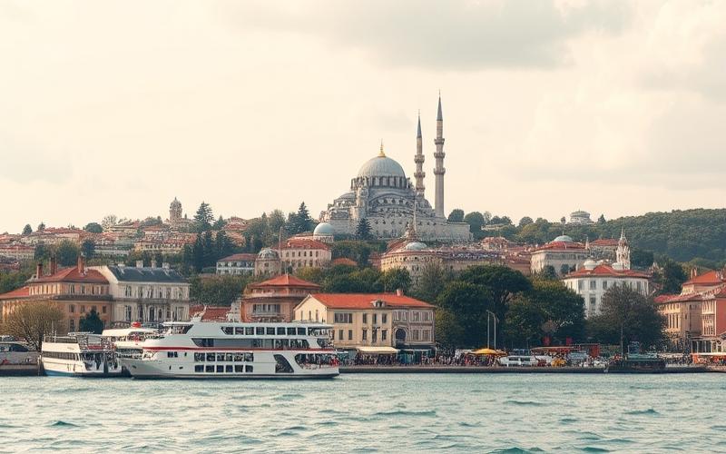
Turkey’s location at the crossroads of two continents makes it a strategic point for trade, military, and cultural exchanges. This role is reinforced by the presence of the Bosphorus and Dardanelles straits, essential maritime passages connecting the Black Sea to the Mediterranean and separating Europe from Asia. These straits are of major geopolitical importance for controlling maritime and energy traffic.
Topography of Turkey
Turkey’s topography is highly varied:
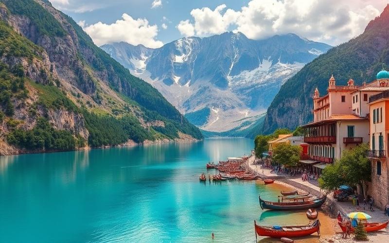
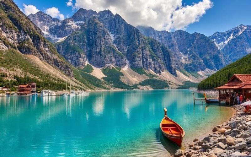
- Mountains: Taurus Mountains in the south, Pontic Mountains in the north, Eastern Anatolian Massif in the east (Mount Ararat, highest point at 5,137 m)
- Plateaus: The central Anatolian plateau, characterized by moderate altitudes and a continental climate
- Plains: Fertile coastal plains, particularly around the Aegean, Mediterranean, and Black Sea
- Lakes: The largest lake is Lake Van, located in the east
| Type of Relief | Notable Examples |
| Mountains | Taurus, Pontic, Ararat |
| Plateaus | Anatolian Plateau |
| Plains | Aegean, Mediterranean Coasts |
| Lakes | Lake Van |
Geographical Points of Interest
Geographical points of interest:
- Bosphorus and Dardanelles: Strategic straits separating Europe and Asia, essential for international trade
- Mount Ararat: Highest peak, iconic site
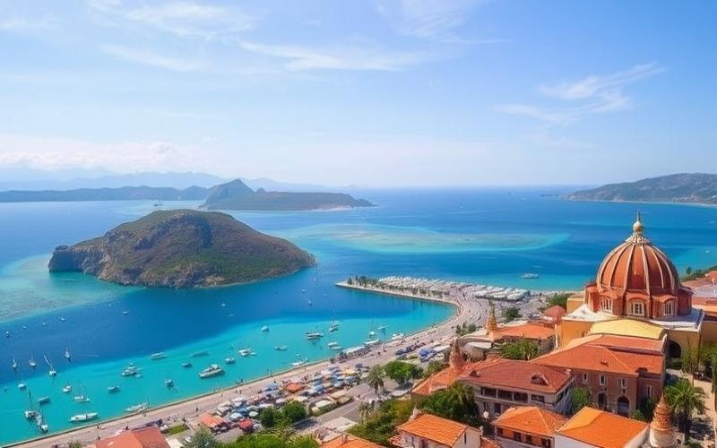
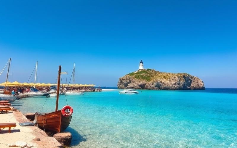
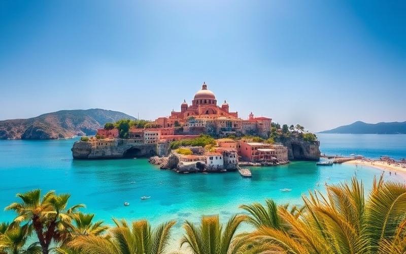
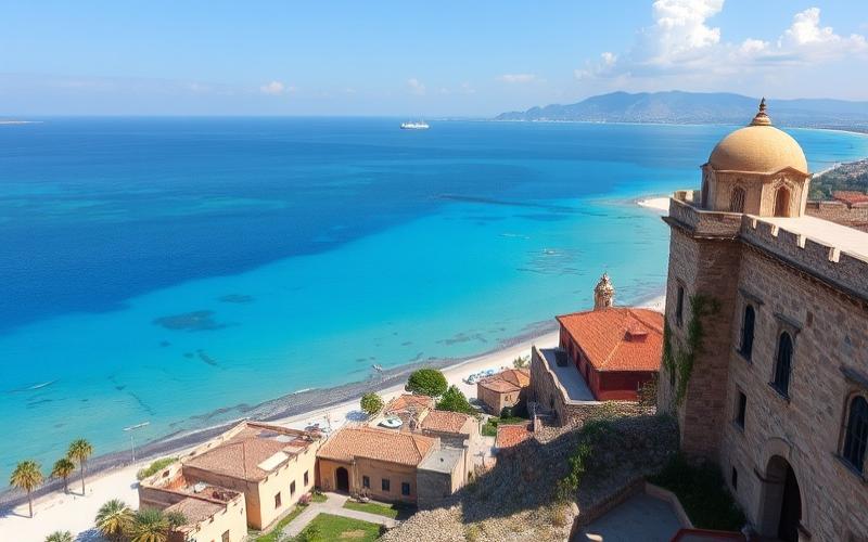
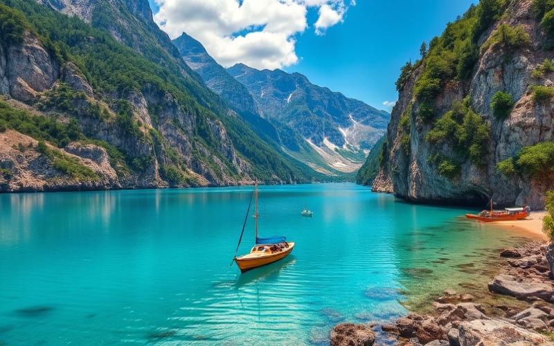
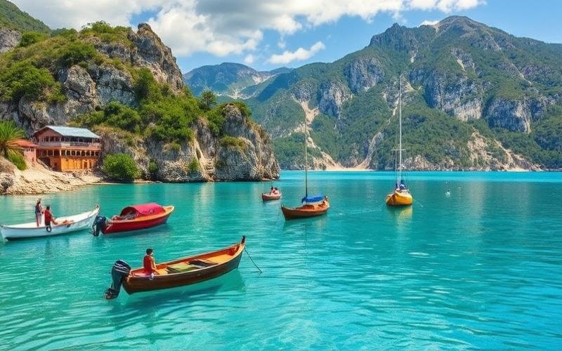
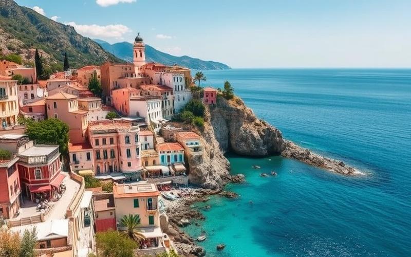
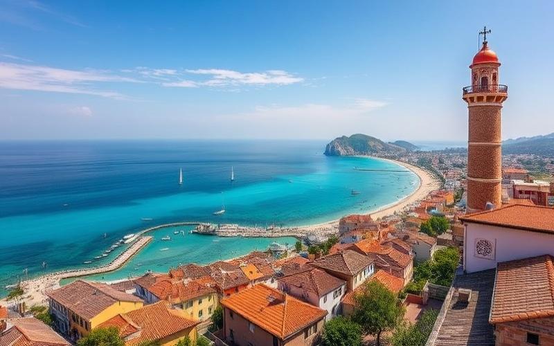
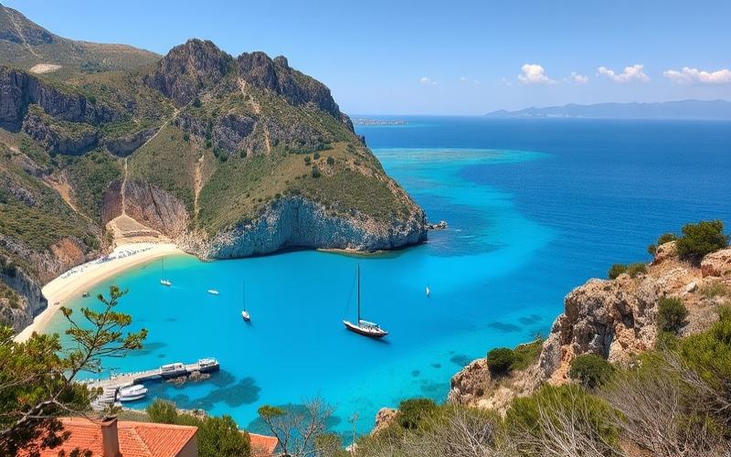
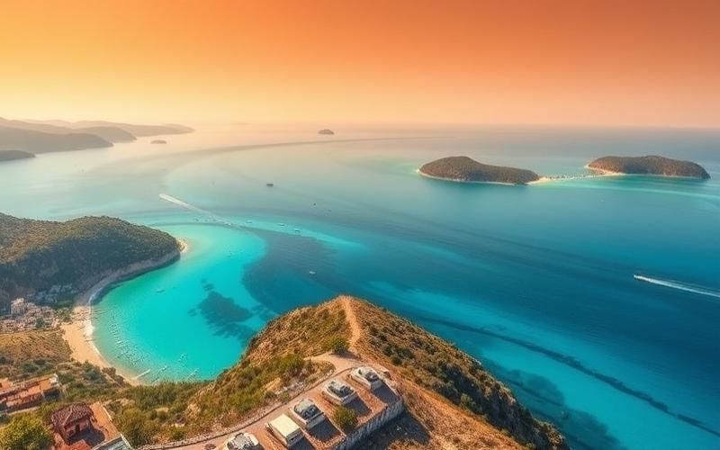
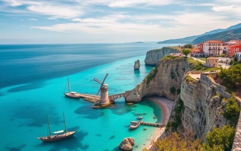
- Turquoise Coast: Southwestern coastline, famous for its beaches and archaeological sites
Influences on Climate, Culture, and Economy
Influences on climate, culture, and economy:
- The mountainous terrain creates highly contrasting climates between the coasts (mild Mediterranean) and the interior (continental, harsh winters).
- The crossroads position fosters great cultural richness, reflecting European, Asian, and Middle Eastern influences.
- The straits and extensive coastline boost the maritime economy (ports, fishing, tourism) and facilitate global trade exchanges.
- The fertile plains support agriculture, while the mountains contain mineral resources.
Boxed Summary:
Turkey, straddling Europe and Asia, possesses a varied and strategic geography: mountains, plateaus, plains, and major straits. This diversity influences its climate, cosmopolitan culture, and dynamic economy, making it an essential crossroads between East and West.
Good to Know:
Turkey, located at the strategic junction of Europe and Asia, shares land borders with eight countries, including Greece and Bulgaria to the west, Georgia to the northeast, Armenia, Azerbaijan, and Iran to the east, as well as Iraq and Syria to the southeast. It is bordered by the Aegean Sea to the west, the Mediterranean Sea to the south, and the Black Sea to the north. This unique geographical position, marked by the Bosphorus and Dardanelles straits, makes it an essential passage point for maritime trade and strongly influences its economy and culture. Its varied topography includes the Taurus and Pontic Mountains, the vast Anatolian plateaus, and the fertile plains of Thrace, contributing to climates ranging from Mediterranean to continental, which allows for rich agricultural diversity. These geographical features also shape a rich cultural heritage, attracting both Western and Eastern influences.
Main Regions of Turkey
| Region | Location | Geographical Features | Natural Resources & Climate | Major Cities | Cultural/Economic Specificities & Notable Facts |
|---|---|---|---|---|---|
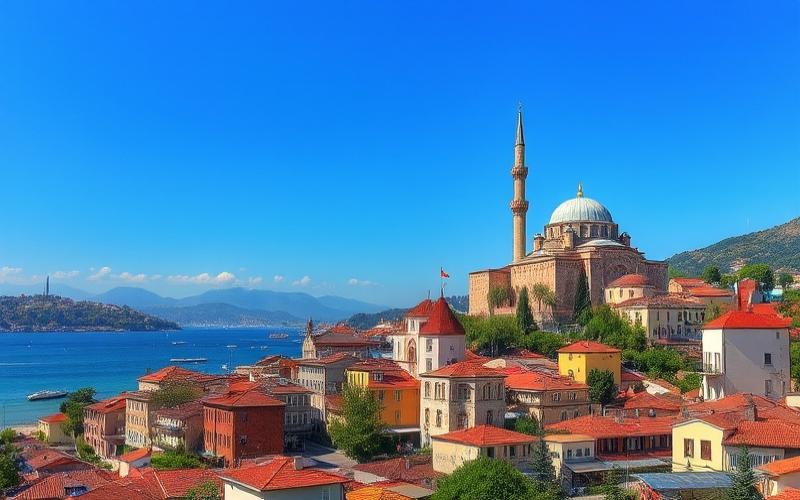
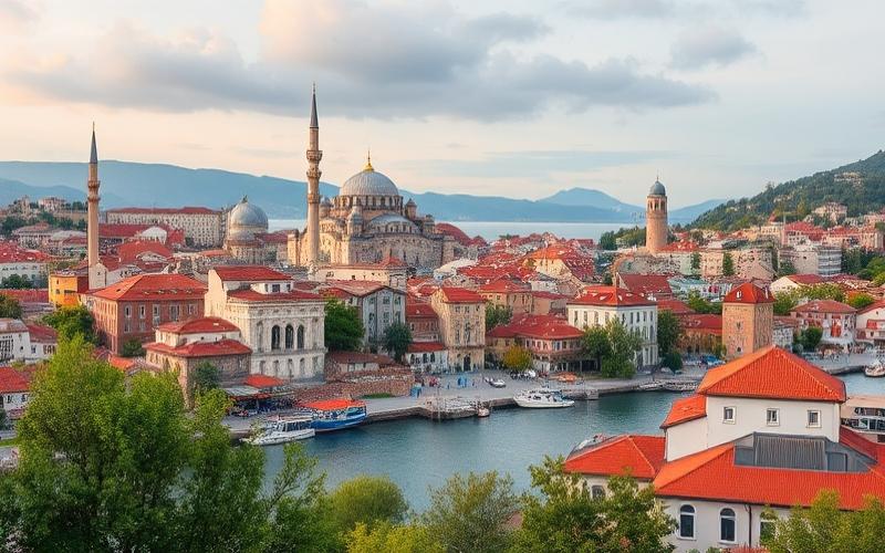
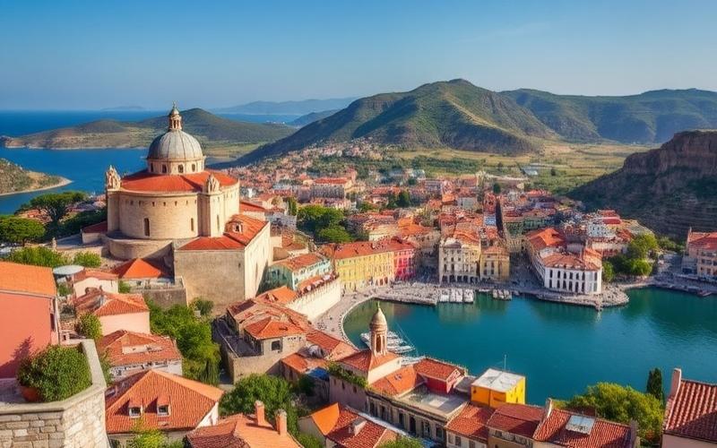
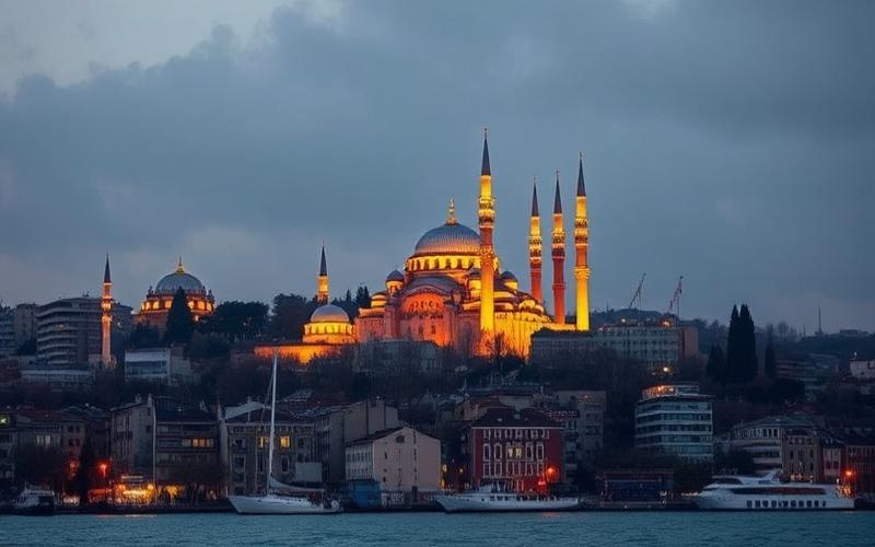
| Marmara Region | Northwest, between Europe and Asia, around the Sea of Marmara | Fertile plain, low hills; Bosphorus and Dardanelles straits | Temperate climate; varied agriculture (vines, fruits), developed industry | Istanbul, Bursa, Edirne | Historic crossroads between Europe and Asia. Strong urbanization. Istanbul is the country’s largest city. |
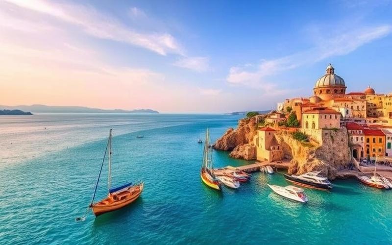
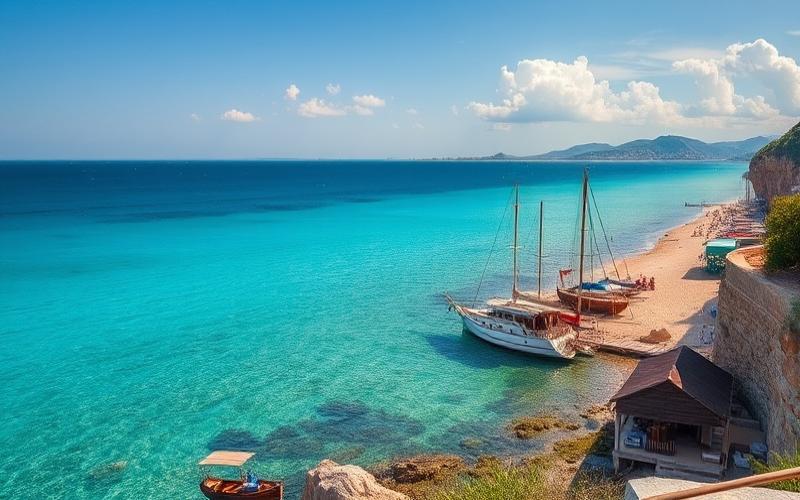
| Aegean Region | Western part of the country along the Aegean coast | Indented coastline with gulfs and fertile coastal plains | Mild Mediterranean climate; olives, tobacco, cotton | Izmir, Manisa | Strong ancient Greek influence; developed beach tourism (Ephesus). Cuisine based on olive oil. |
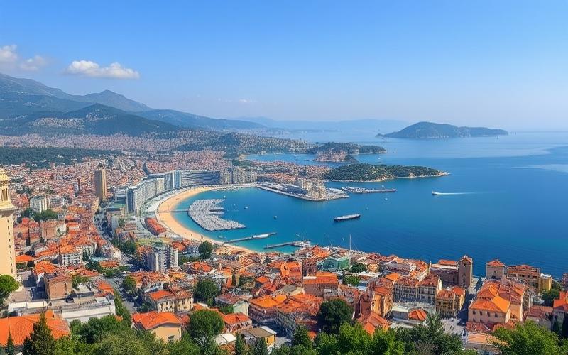
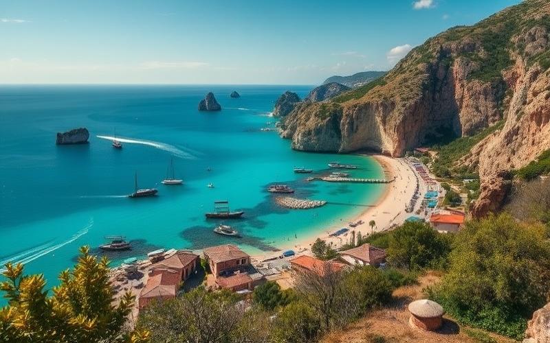
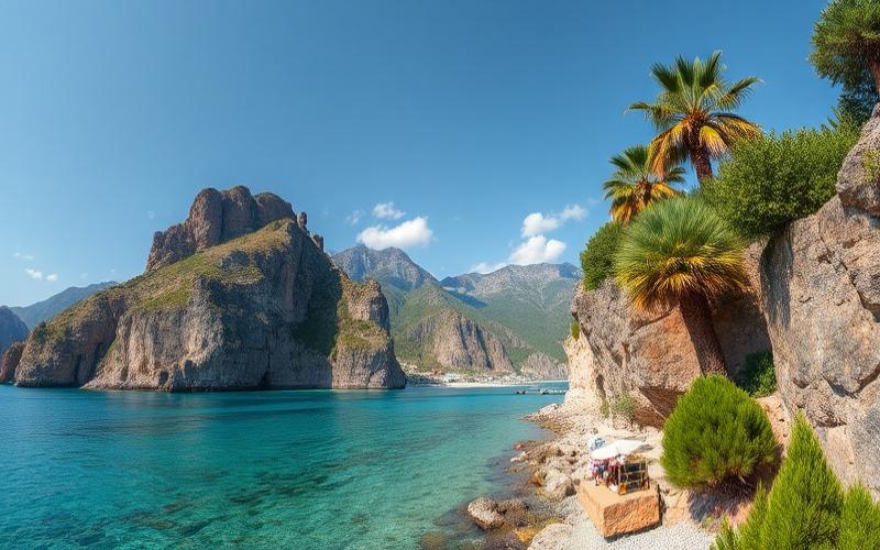
| Mediterranean Region | Southern part bordering the Mediterranean | Narrow coastal strips backed by the Taurus massif | Hot and dry summer climate; abundant citrus fruits | Antalya, Mersin | Major tourist destination thanks to its beaches. Dynamic agricultural culture (tropical fruits). |
| Central Anatolia | Center of the Anatolian plateau | Semi-arid vastness punctuated by steppes; high altitude | Low rainfall; dominant wheat; livestock | Ankara (capital), Konya | Cradle of Hittite/Phrygian civilizations; political capital; persistent equestrian traditions. |
| Eastern Anatolia | Mountainous east | Rugged relief: highest peaks including Mount Ararat (5,137 m), numerous lakes including Van | Harsh climates: very cold winters; significant mineral resources | Erzurum, Van | Marked ethnic diversity (notably Kurds); strong pastoral traditions; less densely populated region. |
| Southeastern Anatolia | Southeast near borders with Syria/Iraq/Iran/Azerbaijan/Nakhchivan | Plateaus cut by deep Euphrates/Tigris valleys; hot summer continental climate, dry | Wheat/cereals/cotton; oil/natural gas present | Gaziantep, Diyarbakır, Şanlıurfa | Important culinary tradition; Neolithic cradle Göbekli Tepe UNESCO World Heritage Site. |
| Black Sea Region | North along the Pontic coast | Mountain range parallel to the coast covered with dense forests; steep valleys towards the sea | Humid oceanic climate year-round: tea/hazelnut/tobacco | Trabzon, Samsun | Distinctive folk music richness; influential Laz/Rize population. |
General Characteristics of Turkey
- Turkey is distinguished by its geographical transition between Europe and Asia: approximately 97% in Asian Anatolia versus only 3% in European Thrace.
- Each region has its own cultural identity stemming from multiple influences: ancient Greek on the Aegean/Mediterranean coasts – Turkmen/pastoral in Central/Eastern Anatolia – Kurdish/Arab cultures in the southeast – historical cosmopolitanism around Istanbul/Marmara.
- The extreme climatic diversity allows the same country to be the world’s leading producer for certain Mediterranean crops while housing renowned winter resorts in its eastern mountains.
Note: The cities mentioned are among the main ones, but each region has several major or secondary urban centers that enrich their respective cultural/economic dynamism.
Good to Know:
Turkey is divided into seven distinct geographical regions, each with its own specificities. The Marmara Region, located in the northwest, is home to Istanbul and the Bosphorus Strait, forming a crucial commercial crossroads with a moderate climate. The Aegean Region, to the west, is known for its olive trees and ancient sites like Ephesus, benefiting from hot, dry summers. Further south, the Mediterranean Region offers tourist beaches and a subtropical climate, with cities like Antalya. In the center, Central Anatolia is dominated by plateaus and Ankara, the capital, and is characterized by a continental climate. The Eastern Anatolia Region is mountainous, with harsh winters and the presence of Mount Ararat, while Southeastern Anatolia, near the Syrian and Iraqi borders, is rich in oil. Finally, the Black Sea Region, to the north, benefits from lush landscapes due to its abundant rainfall, making it a major agricultural area, particularly for hazelnuts and tea. These geographical and climatic diversities strongly influence local lifestyles and economies.
Largest Cities and Capital of Turkey
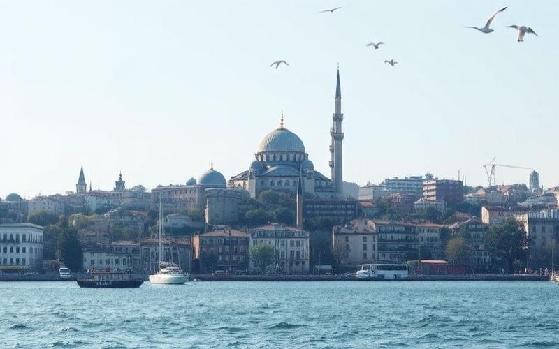
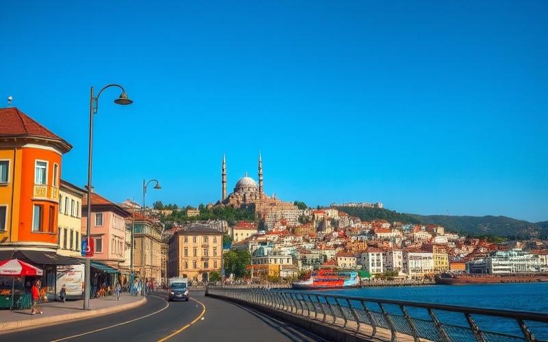
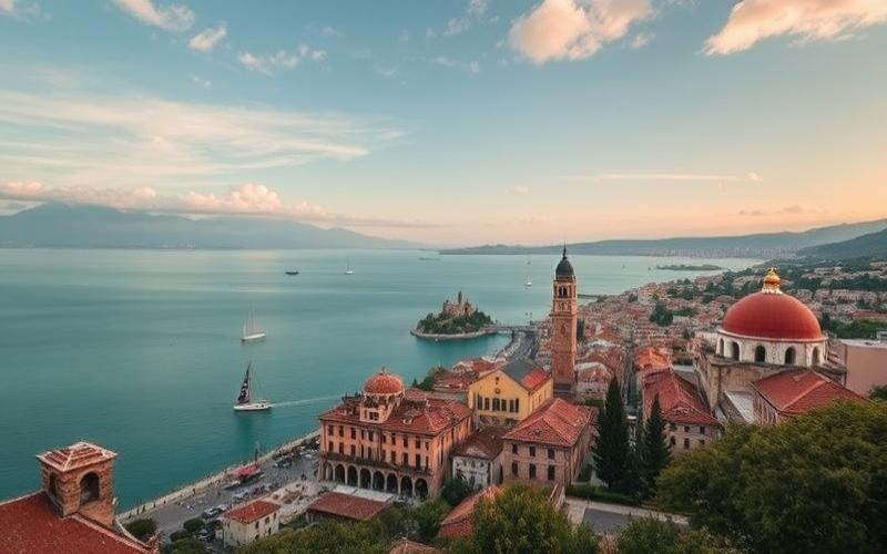
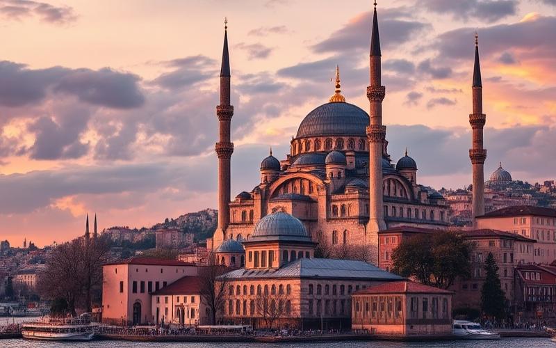
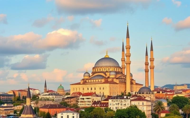
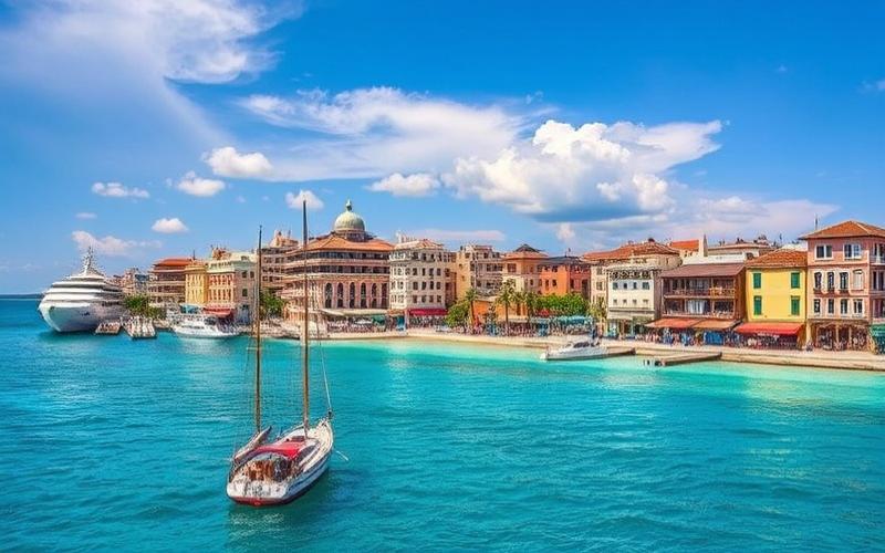
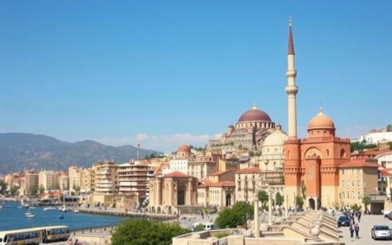
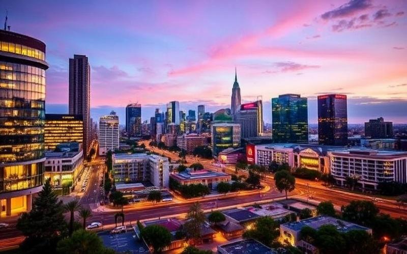
Istanbul is the largest city in Turkey, with a population of over 15 million. Located at the junction of Europe and Asia, it occupies a strategic position on the Bosphorus, connecting the Black Sea to the Mediterranean. Over the centuries, Istanbul has established itself as a major historical center, having been the capital of the Byzantine Empire and then the Ottoman Empire. Today, the city remains the country’s main economic engine, representing about 30% of the national GDP and 40% of foreign trade. Istanbul is also recognized for its cultural richness, exceptional architectural heritage (palaces, mosques, churches), and its role as a logistical, commercial, and technological hub for Turkey and the region.
| City | Population (approx.) | Geographical Location | Main Role/Activities | Cultural and Geographical Diversity |
| Istanbul | 15 million | Northwest, on the Bosphorus, between Europe and Asia | Economic, commercial, cultural, tourist center | Cosmopolitan city, European and Asian influences, Byzantine and Ottoman heritage, technological innovation |
| Ankara | 5.5 million | Center of Central Anatolia | Political and administrative capital, universities, industry | Less touristy, Anatolian diversity, modern administrative center |
| Izmir | 4.4 million | West, on the Aegean Sea | Major port, industry, agriculture, tourism | City open to the sea, Aegean identity, mix of populations |
| Bursa | 3.1 million | South of the Sea of Marmara, near Istanbul | Automotive industry, textiles, agriculture, Ottoman heritage | Green city, Ottoman traditions, historical multiculturalism |
| Adana | 2.3 million | South, Cilician Plain, near the Mediterranean | Agri-food, industry, commerce, agriculture | Mediterranean city, ethnic mosaic, Arab and Anatolian influences |
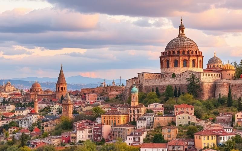
Ankara, the capital, holds a central place in Anatolia. A much more recent city on the political scene, Ankara became the capital in 1923 with the founding of the Turkish Republic, symbolizing the country’s modernization and secularization. It houses the main political institutions (parliament, ministries, embassies) and a large number of universities. Ankara plays a key role in the country’s administration but is less known for its tourist appeal or cultural dynamism compared to Istanbul.
Other Major Cities
- Izmir: The third largest city, Izmir is a major port on the Aegean Sea. Its population is around 4.4 million. The local economy is driven by port activities, industry, agriculture (cotton, tobacco, olives), and beach tourism. Izmir is renowned for its openness, diversity, and Mediterranean atmosphere.
- Bursa: Located south of the Sea of Marmara, Bursa is historically known as the first capital of the Ottoman Empire. Today, it is a major industrial center, particularly in the automotive and textile sectors. A green city surrounded by mountains, Bursa retains an Ottoman architectural heritage and a thermal tradition.
- Adana: In the south, near the Mediterranean, Adana has over 2 million inhabitants. It is an important agri-food hub, with highly developed agriculture (cotton, citrus fruits) and a powerful food industry. The city, located in the fertile Cilician Plain, is characterized by its ethnic and cultural diversity, with Arab and Anatolian influences.
The diversity of Turkey’s major cities is reflected in their history, geographical location, and economic dynamics, offering a complete picture of Turkey’s cultural and geographical richness.
Good to Know:
Istanbul, the largest city in Turkey, is a vibrant and historic metropolis straddling Europe and Asia, recognized for its rich cultural mosaic, economic importance, and numerous monuments like the Topkapi Palace and the Blue Mosque. The capital, Ankara, although the second city in terms of population, plays a crucial role as the political and administrative heart of the country, housing the main government institutions. Located on the Aegean coast, Izmir is an important commercial center with its dynamic port, while Bursa, surrounded by mountains, is renowned for its Ottoman heritage and textile industries. In the south, Adana stands out for its agriculture and food production in the heart of a rich agricultural region, thus illustrating the geographical and cultural diversity that characterizes these major Turkish cities.
Disclaimer: The information provided on this website is for informational purposes only and does not constitute financial, legal, or professional advice. We encourage you to consult qualified experts before making any investment, real estate, or expatriation decisions. Although we strive to maintain up-to-date and accurate information, we do not guarantee the completeness, accuracy, or timeliness of the proposed content. As investment and expatriation involve risks, we disclaim any liability for potential losses or damages arising from the use of this site. Your use of this site confirms your acceptance of these terms and your understanding of the associated risks.
Cyril Jarnias is an independent expert in international wealth management with over 20 years of experience. As an expatriate himself, he is dedicated to helping individuals and business leaders build, protect, and pass on their wealth with complete peace of mind.
On his website, cyriljarnias.com, he shares his expertise on international real estate, offshore company formation, and expatriation.
Thanks to his expertise, he offers sound advice to optimize his clients' wealth management. Cyril Jarnias is also recognized for his appearances in many prestigious media outlets such as BFM Business, les Français de l’étranger, Le Figaro, Les Echos, and Mieux vivre votre argent, where he shares his knowledge and know-how in wealth management.