Published on and written by Cyril Jarnias
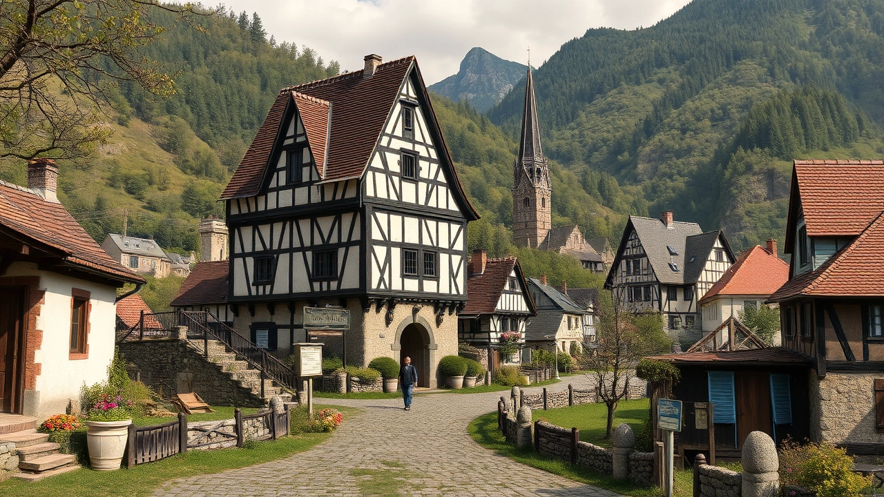
The geography of Germany is far more complex than a simple map at the heart of Europe. Between Alpine mountains, wind-swept coastal plains, forest-covered hills, sprawling rivers, mining territories, and densely populated major cities, the country is a patchwork of landscapes and climates that shape both the economy and ways of life.
Located in the heart of Europe, Germany stretches from the Alps in the south to the coasts of the North Sea and Baltic Sea in the north. It shares land borders with nine countries, a pivotal position that makes it a major economic and logistical crossroads and explains the great diversity of its landscapes and natural regions.
A Country at the Heart of Europe
Germany covers an area of approximately 357,600 km², making it the seventh largest country in Europe. Most of its territory lies between latitudes 47° and 55° North and longitudes 5° and 16° East. The population, estimated at nearly 84 million inhabitants, is primarily concentrated in large urban basins such as the Ruhrgebiet, the Rhine–Main–Neckar axis, or the Berlin region.
Germany shares about 3,750 km of land borders with nine neighboring countries: Denmark to the north; Poland and Czechia to the east; Austria and Switzerland to the south; France, Luxembourg, Belgium, and the Netherlands to the west. It also has maritime borders in the North Sea and Baltic Sea, notably with Sweden and the United Kingdom. This dense configuration generates several tripoints, where three countries meet, such as at the Vaalserberg (Belgium-Germany-Netherlands) or on the Rhine near Basel (France-Germany-Switzerland).
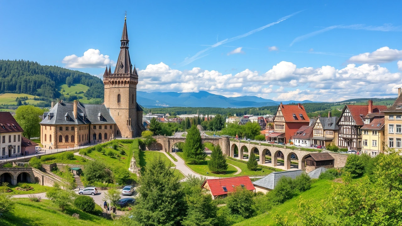
German territory is organized into 16 federal states (Länder), endowed with significant powers, including in regional planning, the environment, and agriculture. Three of them are city-states (Berlin, Hamburg, Bremen), while the other 13 cover vast regions, from the Bavarian Alps to the North Sea coast.
Diversity of the Länder and Territorial Contrasts
The size and population of the federal states vary considerably, between large Bavaria and the tiny city-state of Bremen. The following table provides an overview of some major contrasts.
| State | Capital | Area (km²) | Population (12/31/2024) |
|---|---|---|---|
| Bavaria | Munich | 70,542 | 13,248,928 |
| Baden-Württemberg | Stuttgart | 35,748 | 11,245,898 |
| North Rhine–Westphalia | Düsseldorf | 34,112 | 18,034,454 |
| Mecklenburg-Western Pomerania | Schwerin | 23,295 | 1,573,597 |
| Saarland | Saarbrücken | 2,572 | 1,012,141 |
| Bremen | Bremen | 420 | 704,881 |
| Berlin | Berlin | 891 | 3,685,265 |
North Rhine–Westphalia is by far the most populous state, while Bavaria is the largest in area. Conversely, Bremen has both the smallest area and the smallest population. These territorial disparities are accompanied by strong differences in relief, population density, economic structure, and land use.
Three Major Relief Regions
In physical terms, the geography of the country Germany is often described through three major regions from south to north: the Alps and their foothills, the Central Uplands and plateaus, and the Northern Lowlands.
The Alps and the Alpine Foreland
In the far south, a fringe of the Alpine massif forms the highest part of the territory, although the German portion remains modest compared to Switzerland or Austria. The country’s highest point, the Zugspitze, reaches 2,962 meters (9,718 ft) in the Wetterstein mountains, on the border between Bavaria and the Austrian Tyrol, above Garmisch-Partenkirchen. Surrounding this summit lies a spectacular landscape of steep ridges, karst plateaus like the Zugspitzplatt, and small residual glaciers (Schneeferner, Höllentalferner).
Further east, the Berchtesgaden Alps dominate the landscape, with Watzmann (2,713 m / 8,901 ft) and the Königssee lake nestled in an almost fjord-like setting. This region is home to the country’s only Alpine national park, Berchtesgaden National Park, which protects glaciers, gorges, limestone cliffs, and populations of ibex, chamois, or golden eagles.
At the foot of the Alps, the Alpine Foreland constitutes a gentle transitional zone between the high mountains and the lowland. This region of hills, lakes (such as Lake Constance/Bodensee or the lakes of southern Bavaria), and morainic plains features numerous pastures and is home to major cities like Munich.
The Central Uplands and Plateaus
The center of the country is shaped by a mosaic of low mountain ranges, plateaus, and river valleys, collectively known as the “Central Uplands” (Mittelgebirge). These mountains barely exceed 1,500 meters (4,921 ft) but cover a large part of the territory and strongly structure the landscapes.
Among the best-known ranges are:
The Feldberg, the highest peak in the Black Forest, dominates southwestern Germany at an altitude of 1,493 meters (4,898 ft).
These regions are home to several national parks – Harz, Black Forest, Saxon Switzerland, Bavarian Forest – which preserve beech or coniferous forests, peat bogs, heathlands, gorges, and rivers. Their summits remain modest on an Alpine scale, but the variety of relief offers a great diversity of microclimates and habitats.
The Northern Lowlands
In the north, the mountains gradually give way to the North European Plain, a flat axis opening towards the North Sea and the Baltic. This area, called the North German Plain, is characterized by gently rolling terrain, loamy soils deposited by glaciations, marshes, peat bogs, and many glacial lakes, especially in Mecklenburg-Western Pomerania.
Elevations here are very modest: the highest point in Schleswig-Holstein, the Bungsberg, does not exceed 167 m (548 ft). Farmland and pastures dominate, dotted with scattered villages, small port towns, and major cities like Hamburg, Bremen, or Kiel. In the far northwest, the North Sea coasts are bordered by the vast tidal flats of the Wadden Sea, an alternation of mudflats, sandbanks, and salt marshes.
A Temperate but Contrasting Climate
Germany’s climate is generally temperate, with rather cold winters, moderately warm summers, and four distinct seasons. However, its location at the crossroads of oceanic air masses from the Atlantic and more continental influences from the east creates significant regional contrasts.
The vast majority of the country falls under the temperate oceanic climate classification (Cfb), marked by precipitation well distributed throughout the year. Further east and southeast, winters become more continental, with colder winters (type Dfb), while the highest Alpine altitudes sometimes exhibit subarctic characteristics (Dfc).
Four Major Regional Climate Zones
To understand the geography of the country Germany, it is useful to distinguish four major climatic regions:
Climatic characteristics of the region stretching from the North Sea coast to the plains of the Rhineland, under strong Atlantic influence.
Climate strongly influenced by the Atlantic Ocean and the Gulf Stream, ensuring relatively mild winters and moderately warm summers.
Frequent precipitation and often cloudy skies. Humidity is a defining feature of the region.
Sometimes strong winds along the coast, with episodes of storms and storm surges.
2. The Northeast and the former GDR
From the Baltic to Saxony, continental influence strengthens. Winters are harsher here, sometimes marked by cold waves from the east, nicknamed the “Beast from the East.” Summers remain pleasant but can experience heat spikes. This region is among the least rainy in the country, with about 500 to 550 mm of rain per year in Berlin or Leipzig.
3. The Mild and Sunny Southwest
The Rhine Rift Valley and the regions of Baden-Württemberg, Rhineland-Palatinate, and Saarland enjoy one of the most favorable climates. The Palatinate, along the Wine Route, accumulates 1,800 to 2,000 hours of sunshine per year and is sometimes nicknamed the “German Tuscany,” where even fig trees and lemon trees can grow outdoors. Summers are warmer and winters less harsh than in the rest of the country.
The southeastern Alpine and pre-Alpine region of Bavaria, particularly around resorts like Garmisch-Partenkirchen, experiences longer and snowier winters than the rest of the country, with average negative temperatures and significant snowfall. However, the local climate can experience spectacular warming episodes due to the foehn wind, a warm, dry wind that sometimes brings a Mediterranean touch in mid-winter.
Precipitation, Temperatures, and Sunshine
Average annual precipitation ranges between about 400 mm in the driest areas (e.g., near Mainz) and over 2,000 mm in the Southern Alps, especially on slopes exposed to humid airflows. Most of the country receives between 600 and 800 mm per year. Munich records nearly 950 mm, while the Garmisch-Partenkirchen area exceeds 1,300 mm.
Average annual temperatures are around 9 °C (48 °F). Observed extremes illustrate the possible range: lows near –37.8 °C (–36 °F) have been recorded in Bavaria during exceptional winters, and highs exceeding 41 °C (106 °F) have been measured in the Rhine basin during recent heatwaves. The number of sunshine hours also varies: about 1,600 hours per year in the northwest, just over 1,700 in the northeast, and up to 1,900 on some Alpine summits like the Zugspitze.
The following table shows some regional nuances in terms of climate.
| Region / City | Average Annual Precipitation | Main Climatic Particularities |
|---|---|---|
| Berlin (northeast) | ~500–550 mm | Relatively dry area, cold winters, warm summers |
| Munich (southeast) | ~950 mm | Alpine influence, frequent snow, summer thunderstorms |
| Garmisch-Partenkirchen | ~1,365 mm | Mountain resort, abundant snow |
| Brocken (Harz) | ~1,800 mm | Exposed summit, frequent fog |
| Palatinate (southwest) | 1,800–2,000 hours of sunshine/year | Wine region, mild and sunny climate |
Impact of Climate Change
The effects of global warming are already evident in the geography of the country Germany. In the vineyards of the southwest, winters are becoming less cold, drastically reducing the production of ice wine, which requires intense and prolonged frosts. In 2019, conditions barely allowed for this type of wine harvest.
Fruit trees, like apple trees, are flowering earlier, increasing the risk of damage from late frosts in spring. A frost episode in April 2017 caused losses of several billion euros across Europe. Climate scenarios predict drier summers, especially in the central-east and southwest, with drought episodes like that of 2003, a year when agricultural yields saw record drops.
Rivers, Lakes, and the Hydrographic Network
The geography of the country Germany is inseparable from its river network. Major rivers, combined with a dense network of canals, link the various regions together and to the sea. In total, more than 7,000 kilometers (4,350 miles) of navigable waterways connect the territory, making the country one of the world’s largest inland waterway transport hubs.
Five Major Drainage Basins
The territory is divided among five main drainage basins:
– The North Sea basin (Rhine, Weser, Elbe, Ems);
– The Baltic Sea basin (Oder, Peene);
– The Black Sea basin (Danube and its German tributaries);
– A small sector connected directly to the Atlantic via the Meuse and Scheldt;
– A few rare endorheic basins, of very limited extent.
Most of the major rivers follow a general slope directed towards the north or northwest and flow into the North Sea, with the notable exception of the Danube, which flows southeast to reach the Black Sea.
The Major Structural Rivers
Some major rivers play an essential role in structuring German space.
| River | Total Length | Length in Germany | Destination Sea | Geographical Particularities |
|---|---|---|---|---|
| Rhine | ~1,320 km (820 mi) | ~1,230 km (764 mi) | North Sea | Major western axis, industrial and wine valley |
| Danube | 2,858 km (1,776 mi) | southern portion (BW/BY) | Black Sea | Longest river flowing through Germany |
| Elbe | 1,094 km (680 mi) | large part in northeast | North Sea | Flows through Dresden, Magdeburg, Hamburg |
| Weser | 451 km (280 mi) | 100% in Germany | North Sea | Formed by Werra and Fulda, passes Bremen |
| Oder | 866 km (538 mi) | border with Poland | Baltic | Eastern border axis |
The Rhine, which has its source in the Swiss Alps, flows through southwestern Germany, serves as a natural border with France, and heads towards the Netherlands where it branches out before flowing into the North Sea. Its valley, notably the Middle Rhine between Bingen and Bonn, is a UNESCO World Heritage site, dotted with castles, terraced vineyards, and spectacular cliffs.
The Danube has its source in the Black Forest, near Donaueschingen. It then flows southeast, forming a natural border between the Central Uplands and the Alpine Foreland. In Germany, it flows notably through Bavaria and Baden-Württemberg, where it irrigates fertile plains, before continuing its course through nine other countries.
The Elbe, originating in the Giant Mountains in the Czech Republic, then enters Germany, flows north, and reaches the North Sea near Cuxhaven after passing through Dresden and Hamburg. During the Cold War, part of its course served as a demarcation line between East and West.
The Main is the Rhine’s primary tributary and flows entirely within Germany. It is navigable along its entire length, particularly thanks to the Main–Danube Canal. This crucial development allows for continuous inland waterway connection between the North Sea and the Black Sea.
Lakes and Wetlands
While Germany has relatively few large natural lakes, some play an emblematic role. The largest body of water entirely within the territory is Lake Müritz, in Mecklenburg, at the heart of a landscape dotted with nearly 130 lakes protected within the national park of the same name. Lake Constance (Bodensee), shared with Switzerland and Austria, is, on the other hand, the largest border lake.
Coastal regions also host vast wetlands: the Wadden Sea in the North Sea, an immense tidal area of mudflats and sandbanks, and the shallow lagoons of the Baltic, protected within the Western Pomerania Lagoon Area National Park. These environments host important populations of migratory birds, such as common cranes or wild geese.
Maritime Coasts and the Wadden Sea
In the northwest, the North Sea coast is largely dominated by the Wadden Sea, one of the planet’s largest uninterrupted systems of intertidal mudflats. For several hundred kilometers, sandbanks, salt marshes, channels, and islets emerge and are exposed with the tides.
The Schleswig-Holstein Wadden Sea National Park, the largest of the three, covers approximately 441,500 hectares.
On the Baltic coast, the physiography changes: white chalk cliffs on the island of Rügen (Jasmund National Park), sandy spits, lagoons and peninsulas (Western Pomerania Lagoon Area National Park), sheltered natural harbors. The whole offers a mosaic of coastal landscapes that are less extreme but equally rich in biodiversity.
Forests, National Parks, and Biodiversity
Approximately one third of German territory is covered by forests, composed of both deciduous trees (beeches, oaks) and conifers (spruces, pines). These forests are home to diverse wildlife: roe deer, wild boar, foxes, badgers, beavers, as well as rarer species like the lynx, wildcat, and even the wolf, which has naturally returned to some regions after being extinct for decades.
The total number of protected areas in the broad sense that Germany counts to preserve its natural environments.
The Major National Parks
The 16 national parks cover an impressive range of landscapes, from coastal mudflats to Alpine summits. The following table presents some emblematic examples.
| National Park | Main Region | Approximate Area | Dominant Landscape |
|---|---|---|---|
| Schleswig-Holstein Wadden Sea | North Sea coast, Schleswig-Holstein | 441,500 ha | Mudflats, salt marshes, islands |
| Lower Saxony Wadden Sea | North Sea coast, Lower Saxony | 345,000 ha | Sandbanks, Frisian islands |
| Jasmund | Island of Rügen, Mecklenburg-Western Pomerania | 3,070 ha | Chalk cliffs, coastal beech forests |
| Müritz | Mecklenburg-Western Pomerania | 32,200 ha | Lakes, beech forests, wetlands |
| Harz | Lower Saxony / Saxony-Anhalt | ~24,700 ha | Mountains, coniferous and deciduous forests |
| Bavarian Forest (Bayerischer Wald) | Bavaria | ~24,850 ha | Montane forests, peat bogs |
| Berchtesgaden | Bavarian Alps | ~20,800 ha | High mountains, lakes, glaciers |
| Black Forest (Schwarzwald) | Baden-Württemberg | ~10,000 ha | Forest massif, deeply incised valleys |
| Saxon Switzerland (Sächsische Schweiz) | Saxony | 9,350 ha | Sandstone rocks, gorges, forests |
These parks pursue several objectives: nature preservation, scientific research, environmental education, and public access. They attract nearly 9.5 million visitors per year and generate several hundred million euros in economic benefits, particularly in rural regions.
Several of them – Müritz, Kellerwald-Edersee, Hainich, and Jasmund – harbor ancient beech forests designated as UNESCO World Heritage sites, remnants of the great deciduous forests that once covered Central Europe.
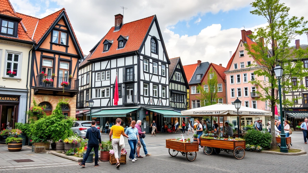
Agriculture, Soils, and Rural Landscapes
Approximately half of Germany’s total land area is currently used for agricultural purposes, around 18 million hectares. The geography of the country Germany is therefore largely shaped by the fields, meadows, and farms that occupy the plains and valleys.
Of this agricultural land, nearly 70% is devoted to arable crops (wheat, barley, corn, rapeseed…), 29% to meadows and pastures, and 1% to permanent crops (orchards, vineyards, gardens). The most fertile soils are found in loess regions, such as the Magdeburg and Hildesheim Börde, parts of Franconia, or western North Rhine–Westphalia, where wheat and sugar beets dominate the landscapes.
Despite this agricultural intensity, the area dedicated to agriculture is gradually declining, eroded by urbanization and infrastructure at a rate of several dozen hectares per day. Authorities have set a goal to reduce this rate of land consumption by 2030.
Regional Specializations and Agricultural Landscapes
The geography of the country Germany shows strong regional specializations:
German agricultural production is strongly structured by relief and climate. The large plains of the north and east are dedicated to large-scale crops like cereals and sugar beets. The hilly and piedmont zones in the center of the country specialize in livestock (dairy, pigs, cattle) and vegetable cultivation. Market gardening belts and orchards surround major urban areas. Finally, viticulture is concentrated in the sunny valleys of the major rivers in the west and south, such as the Rhine, Moselle, Main, Neckar, and the Elbe near Dresden.
The major dairy and pig farming basins are mainly located in the northwest (Lower Saxony, North Rhine–Westphalia) and in some southern areas. Germany is the largest milk producer in the European Union, with production exceeding domestic consumption, and the leading producer of pork in Europe.
Vines, Beer, and Hops: Geography of Terroirs
The country holds a notable rank in world viticulture: 13th by planted area and 9th by volume produced. The main vineyards are concentrated in the valleys of the Upper Rhine, Moselle, Saar, Main, Nahe, and the Elbe near Dresden. Most are located in the states of Rhineland-Palatinate and Baden-Württemberg, but also in Hesse and Saxony.
The main grape varieties cultivated are Riesling (nearly a quarter of the area), Pinot Noir (Spätburgunder), and Müller-Thurgau. The terroir is characterized by steep slopes, slate or limestone soils, and a mild climate, making these valleys exceptional wine corridors.
Regarding beer, German geography highlights Bavaria, land of many historical breweries. The world’s largest hop-producing region is also located in this state: the Hallertau, which supplies more than four-fifths of the national hop production and nearly 27% of the world’s output. Germany is thus among the world’s top beer producers.
Agriculture and the Environment
This dominance of agricultural use comes with environmental challenges. Soil erosion by water averages 1.8 tons per hectare per year. Nitrogen surplus, though declining since the 1990s, remains above the targets set for 2030, raising questions about the quality of surface and groundwater.
The use of pesticides and fungicides in agriculture exerts pressure on biodiversity, notably affecting pollinating insects and field birds, with some emblematic species in decline. Furthermore, German agriculture accounts for about 8% of national greenhouse gas emissions, with a disproportionate share coming from the cultivation of organic soils (drained peatlands), which are high emitters of CO₂.
To address these challenges, authorities have set ambitious goals: to develop organic farming (which already covers over 10% of agricultural land), protect insects, restore peatlands, and develop specific strategies for arable farming and livestock.
Natural Resources and Mining Landscapes
Unlike some neighbors rich in hydrocarbons, Germany has only limited energy resources, with the notable exception of lignite (brown coal), of which it holds considerable reserves. The country long built part of its industrial power on mining – hard coal, salt, potash, metal ores – before gradually shifting towards a more diversified economy and an energy transition.
Lignite and Open-Pit Mining Landscapes
The major lignite mining regions – Lusatia (Brandenburg/Saxony), the Rhenish mining area (between Cologne and Aachen), and the Central German mining district (Saxony, Saxony-Anhalt) – have profoundly reshaped local geography. Vast open-pit mines, like Garzweiler or Hambach, have carved out gashes covering several dozen square kilometers, leading to the displacement and sometimes disappearance of hundreds of villages since the beginning of the 20th century.
After mining, the pits, which have altered over 170,000 hectares, are gradually converted through a process of “recultivation.” This gives rise to artificial lakes, forests, or new agricultural land, illustrating how extraction durably reshapes landscapes and land uses.
From the Industrial Ruhr to Cultural Landscapes
The Ruhr, the former major coal basin in the west, has a similar history. From Western Europe’s largest industrial cluster, based on a dense network of coal mines, blast furnaces, and canals, it has been converting since the closure of the last hard coal mines in 2018 into a metropolis of services, culture, and technology. Industrial wastelands are being transformed into parks, museums, or tourist trails tracing the mining history.
Located in the east on the Czech border, this range (also called the Ore Mountains) is a mining cultural landscape designated as a UNESCO World Heritage site. For centuries, silver, tin, copper, and later uranium were extracted there, giving it great historical and technological value.
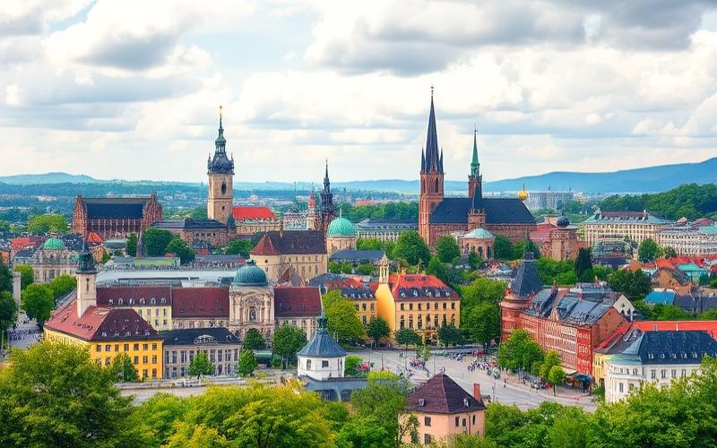
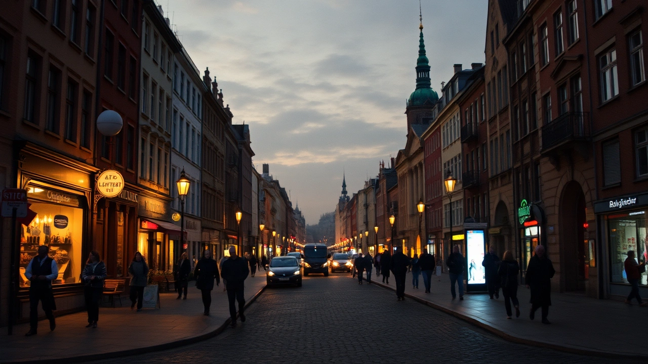
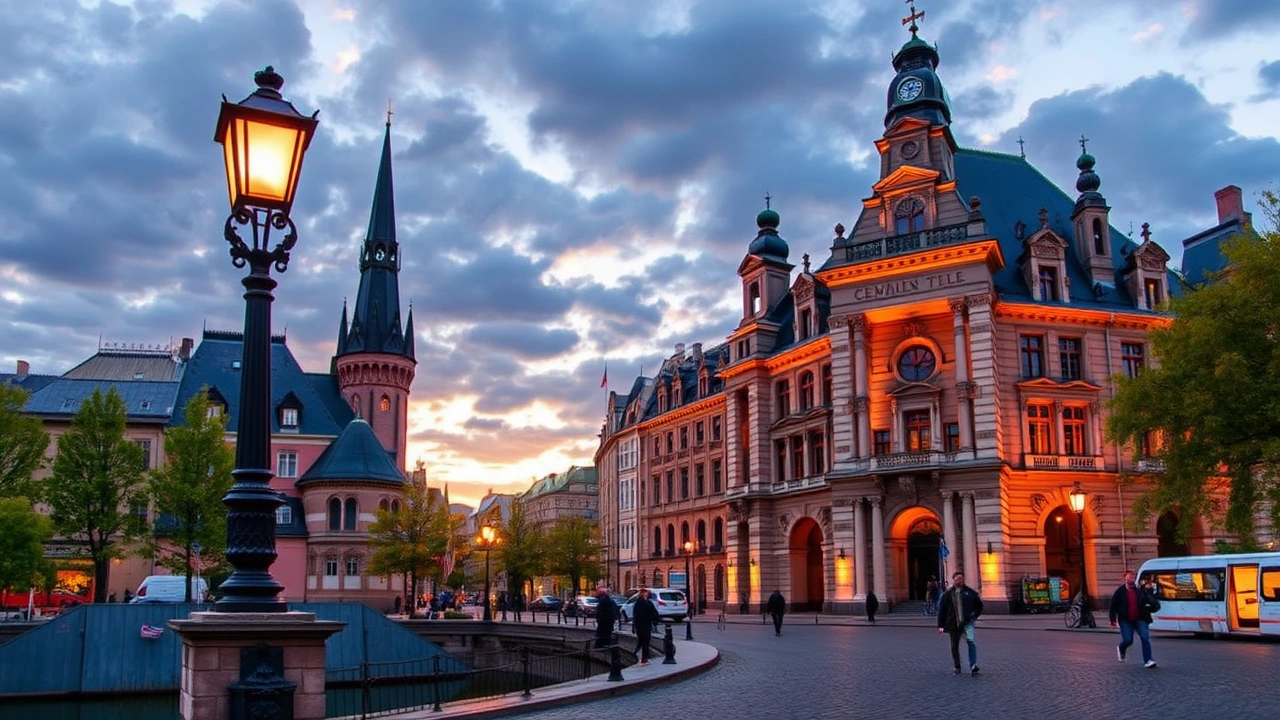
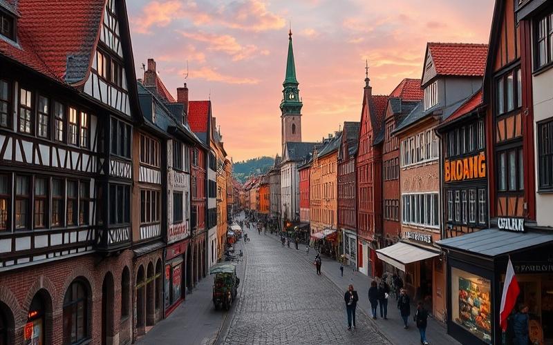
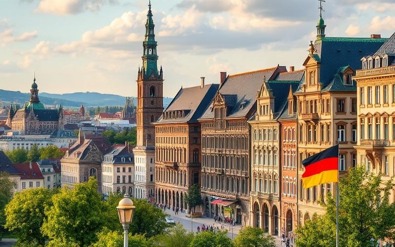
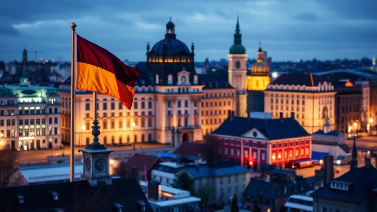
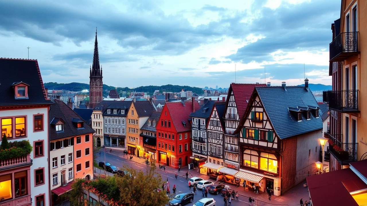
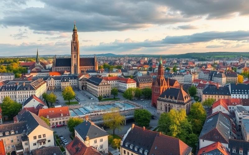
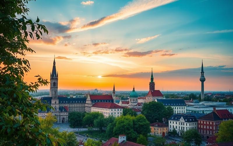
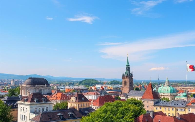
Cities, Densities, and Major Urban Areas
Although the geography of the country Germany is marked by vast rural spaces, the population is strongly concentrated in a few large metropolitan areas. The average density reaches about 233 to 236 inhabitants per km², but this figure masks deep disparities: eastern states like Mecklenburg-Western Pomerania remain sparsely populated, while North Rhine–Westphalia or the city-states border on urban saturation.
Germany’s main cities, such as Berlin, Hamburg, Munich, Cologne, Frankfurt, Stuttgart, Düsseldorf, Leipzig, Dortmund, Bremen, Essen, and Dresden, form a polycentric network. This network is efficiently connected by a tight mesh of transport infrastructure, including highways (Autobahn) and high-speed rail lines (ICE).
The table below illustrates the distribution of major metropolitan areas.
| Main Metropolitan Area | Estimated Population (12/31/2024) |
|---|---|
| Ruhrgebiet (North Rhine–Westphalia) | ~5,219,200 |
| Berlin Urban Area | ~4,475,400 |
| Cologne–Düsseldorf–Wuppertal–Bonn | ~4,395,700 |
| Hamburg Urban Area | ~2,627,100 |
| Munich Urban Area | ~2,153,900 |
| Frankfurt Urban Area | ~1,807,700 |
| Stuttgart Urban Area | ~1,472,800 |
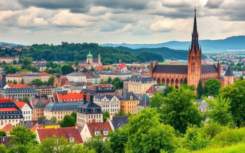
German urban landscapes also reflect the physical geography: Berlin spreads across the sandy plain of the former Brandenburg; Hamburg opens onto the vast estuary of the Elbe; Munich stretches across the Alpine Foreland; Cologne and Düsseldorf border the Rhine, while Stuttgart nestles in a basin surrounded by vine-covered hills.
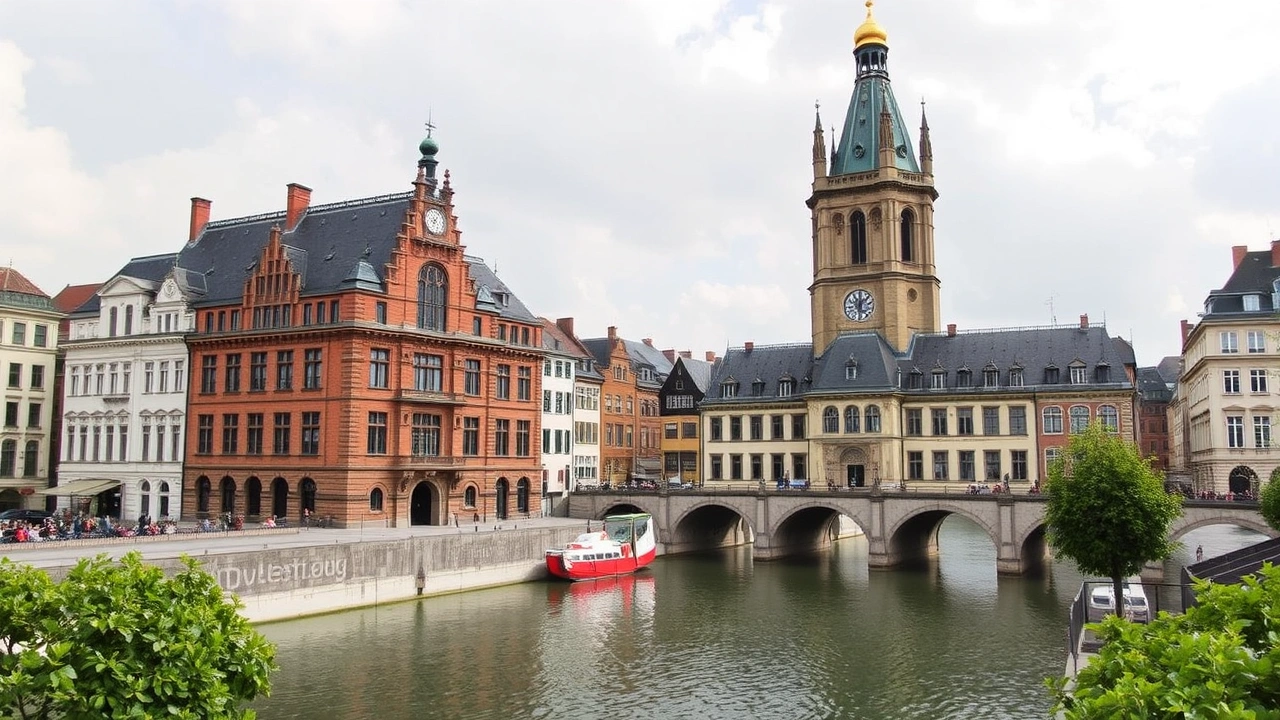
Geography at the Heart of Mobility and Trade
The central position of Germany in Europe and its dense hydrographic, road, and rail network make it a hub of trade. The port of Hamburg, located on the Elbe, is one of the most active on the continent, while Duisburg, on the Rhine, stands as Europe’s largest inland port. A considerable share of the country’s foreign trade transits via maritime and inland waterways.
Germany’s network of inland waterways, about 7,300 km long, is undergoing modernization via long-term investment plans. Two major canals enhance its connectivity: the Kiel Canal, which directly links the North Sea to the Baltic Sea, bypassing Denmark, and the Main–Danube Canal, which connects the Rhine and Danube basins.
This transportation geography is complemented by one of the densest highway networks in Europe, some sections having no general speed limit, and by major international airports, such as Frankfurt, Munich, or Berlin-Brandenburg.
A Geography in Transition
Finally, the geography of the country Germany cannot be described without mentioning the profound transitions underway. Global warming is gradually altering growing conditions, forests, and water resources; former mining regions are converting and their landscapes are being reshaped; cities are expanding while rural areas adapt to more sustainable agriculture.
Germany maintains a vast network of national parks and reserves aimed at protecting representative samples of its major ecosystems: coasts, mountains, beech forests, glacial lakes, heathlands, and peat bogs. This geographical diversity is the result of a natural heritage and centuries of human influence, including clearance, industrialization, and, today, efforts at ecological restoration.
From the Zugspitze to the mudflats of the Wadden Sea, from the banks of the Elbe to the vineyards of the Moselle, the geography of the country Germany remains in motion, reflecting the tensions between production, nature protection, industrial heritage, and new social expectations. It is precisely this combination of reliefs, climates, and practices that makes Germany a fascinating laboratory of contemporary territorial recompositions in Europe.
Disclaimer: The information provided on this website is for informational purposes only and does not constitute financial, legal, or professional advice. We encourage you to consult qualified experts before making any investment, real estate, or expatriation decisions. Although we strive to maintain up-to-date and accurate information, we do not guarantee the completeness, accuracy, or timeliness of the proposed content. As investment and expatriation involve risks, we disclaim any liability for potential losses or damages arising from the use of this site. Your use of this site confirms your acceptance of these terms and your understanding of the associated risks.
Cyril Jarnias is an independent expert in international wealth management with over 20 years of experience. As an expatriate himself, he is dedicated to helping individuals and business leaders build, protect, and pass on their wealth with complete peace of mind.
On his website, cyriljarnias.com, he shares his expertise on international real estate, offshore company formation, and expatriation.
Thanks to his expertise, he offers sound advice to optimize his clients' wealth management. Cyril Jarnias is also recognized for his appearances in many prestigious media outlets such as BFM Business, les Français de l’étranger, Le Figaro, Les Echos, and Mieux vivre votre argent, where he shares his knowledge and know-how in wealth management.