Published on and written by Cyril Jarnias
Sandwiched between two South American giants, Argentina and Brazil, the country of Uruguay occupies a unique geographic position on the continent. Small in size but complex in its physical structure, climates, landscapes, and wetland regions, it offers a condensed version of Southern Cone geography. From grassy pampas to the hills of the Cuchilla Grande, from giant estuaries like the Río de la Plata to the Atlantic lagoons of Rocha, the map of Uruguay tells a story where nature, agriculture, port cities, and contemporary environmental issues intertwine.
A Wholly Temperate Southern Cone Country
Located between approximately 30° and 35° south latitude and 53° to 58° west longitude, Uruguay belongs to the Southern Cone, alongside Argentina and Chile. It is the smallest Spanish-speaking state in South America and the only one on the continent entirely south of the Tropic of Capricorn. This position guarantees it a fully temperate climate, with no tropical zone or mountain range to compartmentalize air masses.
Uruguay’s continental territory covers approximately 175,000 km².
The political map is structured into 19 departments, including the capital Montevideo—tiny in area (about 530 km²) but hyper-dense—and other much larger units like Tacuarembó or Salto, which cover over 14,000 km² for populations often under 150,000 inhabitants. This distribution confirms the contrast between a densely populated coastline and a largely rural interior.
Key Location and Area Data
| Indicator | Approximate Value |
|---|---|
| Total area (land + internal waters) | 176,000 km² |
| Land area | 175,000 km² |
| Coastline length | 660 km |
| Latitude | 30° S – 35° S |
| Longitude | 53° W – 58° W |
| Exclusive Economic Zone (EEZ) area | 142,166 km² |
| Highest elevation | Cerro Catedral, 513–514 m |
A Landscape of Rolling Plains and Small Ranges
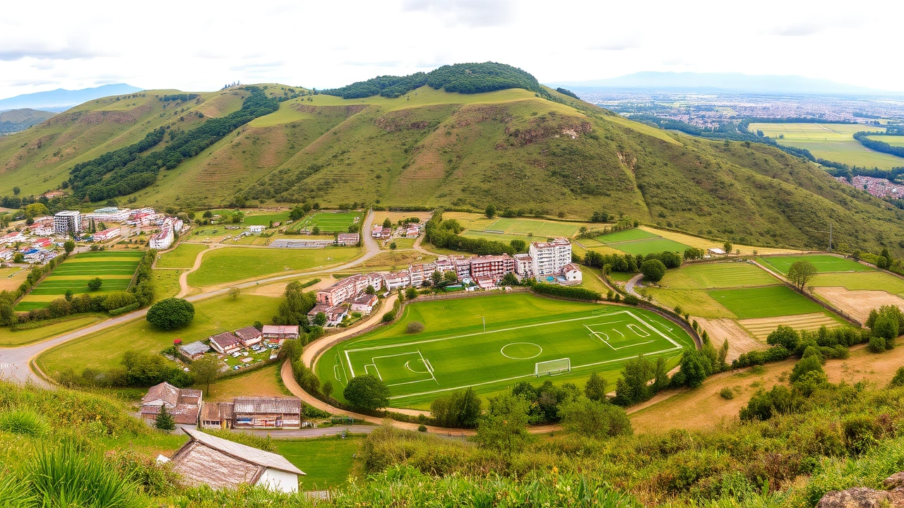
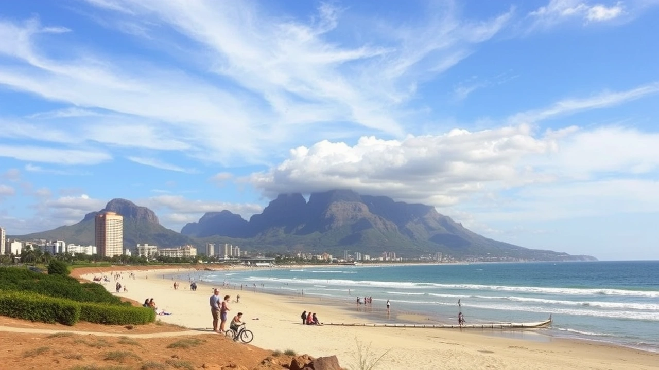
The dominant landscape of Uruguay is that of a vast, gently undulating plain. Geographically speaking, it is the eastern part of the Pampas, that great expanse of temperate grasslands covering over 1.2 million km² between central Argentina, southern Brazil, and the entirety of Uruguayan territory. Here, there are no mountains in the strict sense: altitudes rarely exceed 200 m, except for a few isolated peaks.
Geographers divide the country into four main zones: the Atlantic coast, the hills of the Cuchilla Grande, the central plain (or Pampas), and the northern highlands, which gradually blend into the Brazilian plateaus.
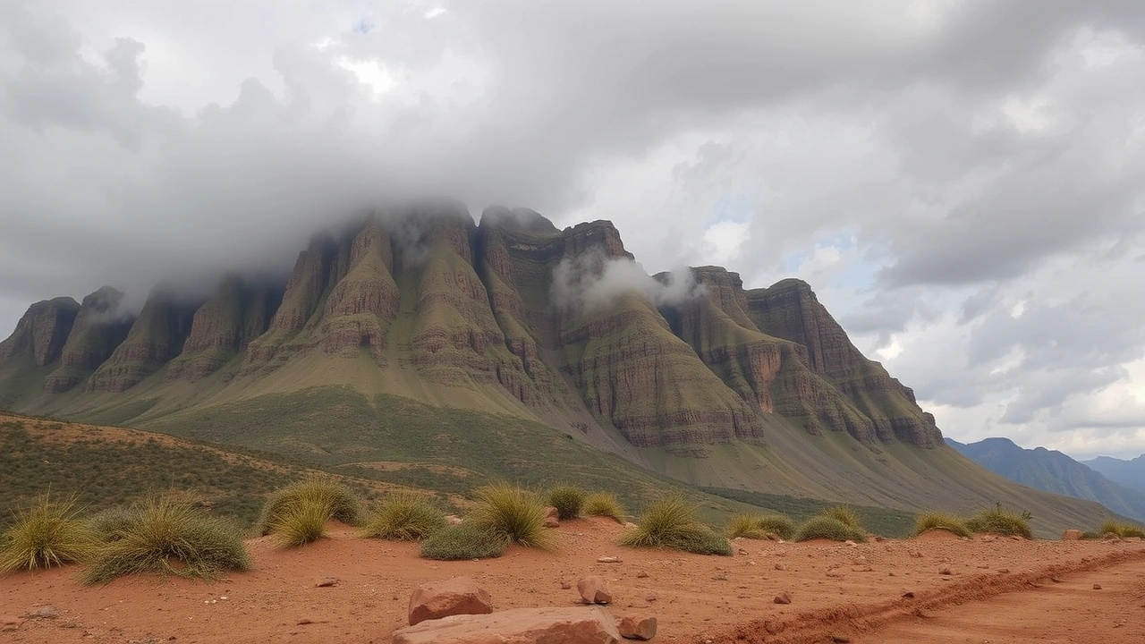
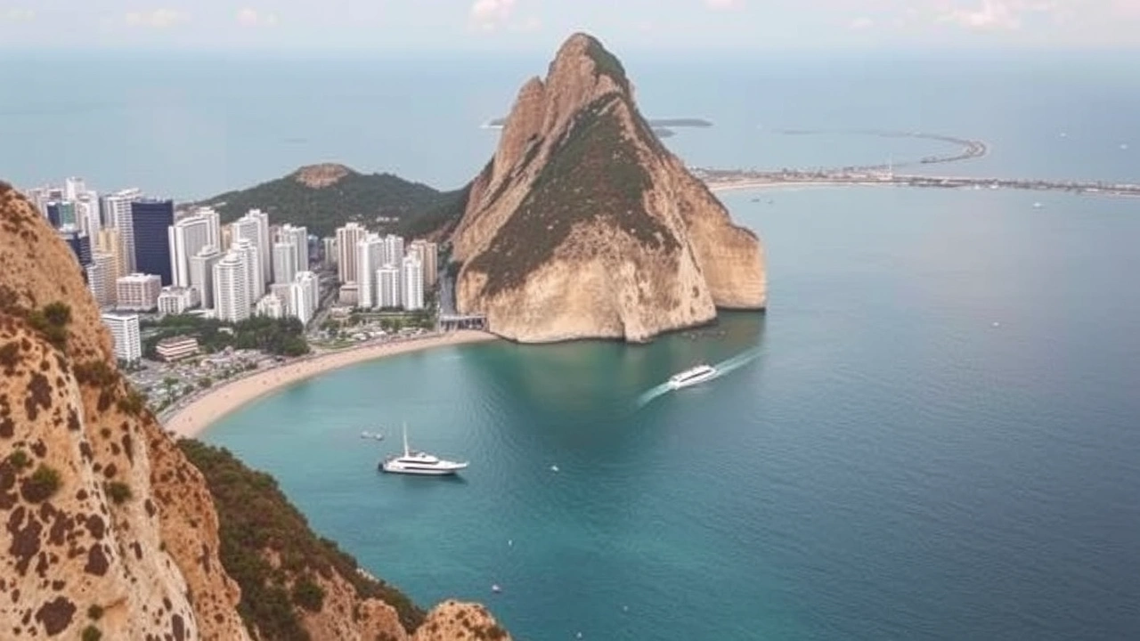
In the center and north, the bedrock is animated by long, low ridges called cuchillas – the Cuchilla Grande and the Cuchilla de Haedo being the most important. These ranges do not form impassable walls, but rather successions of grassy hills, punctuated by isolated buttes like Cerro Pan de Azúcar, Cerro de las Ánimas, Cerro Arequita, or Cerro Batoví. The highest point, Cerro Catedral, located in the Sierra Carapé sector (a branch of the Cuchilla Grande), rises to just over 500 m.
The relief of Uruguay presents contrasts: the eastern, southern, and western edges are mostly flat. The Atlantic coast is characterized by a narrow strip of dunes, marshes, and shallow lagoons. In contrast, along the Río de la Plata and the Río Uruguay, there are broader alluvial plains that rise gently toward the hilly interior region.
The average altitude is barely 100 m, which, combined with the absence of mountains, has a major consequence: no barrier impedes the circulation of air masses. Cold fronts rising from Patagonia and subtropical flows from Brazil can therefore sweep across the country rapidly, causing abrupt weather changes.
A Country of Water: Rivers, Estuaries, Lagoons, and Aquifers
Despite its steppe-like grassy appearance, Uruguay is paradoxically very rich in water. Its natural borders are, on three sides, defined by watercourses or bodies of water: the Río Uruguay to the west, the Río de la Plata to the south, and a string of lagoons and border rivers to the east with Brazil. Inland, a dense hydrographic network grids the plains and feeds large hydroelectric dams, at the heart of the national energy strategy.
The territory is drained by three main systems: in the west by the Río Negro, which flows into the Río Uruguay; in the south by basins, including the Santa Lucía crucial for Montevideo’s drinking water, which flow towards the Río de la Plata; and in the east by irregular-flow rivers emptying into the Atlantic or coastal lagoons like Laguna Merín, partially marking the border with Brazil.
The Río Uruguay itself stretches for over 1,800 km, from the mountains of southern Brazil to the estuary of the Río de la Plata. In its Uruguayan stretch, it delineates the departments of Artigas, Salto, Paysandú, Río Negro, Soriano, and Colonia. Navigable by sea vessels up to Paysandú, it has historically served as a major commercial corridor and remains an important border axis, punctuated by international bridges and dams.
In central Uruguay, the Río Negro is regulated by a series of hydroelectric dams (Rincón del Bonete, Baygorria, Palmar), forming large artificial lakes. The sediments accumulated in these reservoirs now serve as environmental archives. Their analysis allows for tracing the history of soil erosion and agricultural pollution. These studies notably reveal a clear acceleration of erosion and pesticide transfers since the mid-2000s, a trend correlated with the expansion of soybean monocultures and forestry plantations in the region.
Below the surface, two major aquifers contribute to this water abundance: the Arapey aquifer, the main underground reservoir proper to Uruguay, and especially the transboundary Guaraní system, one of the largest aquifers in the world, shared with Brazil, Argentina, and Paraguay. Renewable water resources are estimated at over 130 km³ per year, which, relative to the small population, places the country among the best-endowed on the planet. But this wealth does not preclude occasional tensions – some regions have experienced periods of scarcity – nor quality problems, as evidenced by episodes of eutrophication and cyanobacteria in the Santa Lucía basin or industrial pollution detected in the port of Montevideo.
Some Major Elements of the Hydrographic Network
| Hydrographic Element | Geographic Role or Characteristic |
|---|---|
| Río Uruguay | Border with Argentina, navigation, hydroelectricity |
| Río Negro | Main internal river, large dams and reservoirs |
| Río de la Plata | Vast estuary, southern facade of the country, port of Montevideo |
| Laguna Merín | Large coastal lagoon, border with Brazil |
| Santa Lucía | Major source of drinking water for Montevideo |
| Guaraní Aquifer | Large transboundary aquifer system |
The Uruguayan Pampas: An Ocean of Grass
Within the great Pampas region, Uruguay belongs to one of the planet’s largest temperate grasslands. This fertile plain, gently undulating and generally below 600 m in elevation, stretches from Buenos Aires towards the northeast to Brazil’s Rio Grande do Sul, encompassing the entire Uruguayan territory.
The original biome is a dense grassy steppe dominated by perennial grasses, with a strong presence of the genera Stipa and Cortaderia selloana (pampas grass). Vegetation varies according to soil moisture: tall grasses and hygrophilous plants in wet areas, and formations of shorter, sparse grasses on well-drained soils.
A striking feature of these landscapes is the near absence of trees in their natural state. Forests were historically limited to riparian galleries – these ribbons of trees along watercourses – and a few pockets well-protected from fires. Several factors explain this open character: seasonal alternation of moisture and drought, heavy soils, grazing pressure from large herbivores, frequent fires. Today, the few native forests are protected by law but constitute a very small fraction of the surface, while pine and eucalyptus plantations occupy growing areas.
Soils and Agricultural Aptitudes
The dominant agricultural soils belong mainly to the orders of Mollisols and Vertisols, typical of temperate grasslands rich in organic matter. They offer good aptitudes for crops and pastures, provided they are managed without excessive tillage or inputs. Other soil types – Alfisols, Ultisols, Inceptisols, Histosols, Entisols – are present in lesser proportions, reflecting the diversity of water or topographic contexts.
For rice, the leading crop of the humid eastern plains, it is rather poorly drained soils, such as Planosols, that are used in the east-central zone, while the north turns to more fertile soils. This pedological mosaic shapes the map of production systems, from irrigated rice to rain-fed large-scale crops and permanent pastures.
Agricultural Production Systems
A Humid Subtropical Climate, Without a Dry Season
Located entirely in the southern hemisphere’s temperate zone and wide open to the ocean, Uruguay has a generally homogeneous climate, classified as Cfa (humid subtropical) in the Köppen nomenclature. In the southeastern coastal sectors and on the highest hills, the maritime influence is so marked that the climate approaches the oceanic type (Cfb). In all cases, four distinct seasons follow one another without a true dry season.
Summers, from December to February, are warm but rarely scorching on the coastal fringe, thanks to sea breezes. In Montevideo, the average high in January is around 28 °C, with lows around 17 °C. Further inland, and especially in the northwest (Artigas, Salto), summer averages rise to 33 °C during the day. Heatwaves can push the thermometer to 38–40 °C, with records locally exceeding 42–44 °C.
Average daytime temperature in July in Montevideo, illustrating the coolness of Uruguayan winters.
The shoulder seasons each have their own character: spring (September–November) is known for its alternation of mildness and strong winds, with often humid and changeable weather; autumn (March–May) generally offers moderate temperatures and weather appreciated for urban or rural tourism.
Rainfall and Winds
The relative uniformity of the climate is also seen in the distribution of rain. There is no marked dry season: precipitation occurs in all seasons, coming from winter cold fronts or summer thunderstorms. Annual averages generally increase from the southeast to the northwest: around 950–1,100 mm in Montevideo, up to 1,200–1,600 mm in stations like Artigas or Rivera. The eastern part, closer to the ocean, also receives high totals, especially in autumn.
The climate is strongly influenced by two main winds. The pampero, a cold and sometimes violent wind from the Argentine Pampas, can sweep across the country rapidly, causing a sudden drop in temperatures and destructive gusts, especially in winter and spring. Conversely, in summer, sea breezes temper temperatures on the coasts of the Río de la Plata and the Atlantic.
The absence of mountains also explains the territory’s vulnerability to intense extratropical storms. Several episodes, with gusts exceeding 170–200 km/h, have struck the south of the country in the 21st century, illustrating this direct exposure to disturbances from the South Atlantic.
Simplified Climate Portrait of Two Cities
| City | January (Avg. High/Low) | July (Avg. High/Low) | Annual Rainfall | Particularity |
|---|---|---|---|---|
| Montevideo | 28 °C / 17 °C | 14 °C / 6 °C | ≈ 950–1,100 mm | Strong breezes, fogs |
| Artigas | 33 °C / 18 °C | 18 °C / 7 °C | ≈ 1,235–1,600 mm | Hotter summers, drier winters |
From “The Cow and the Port” to Mechanized Agriculture
The geography of Uruguay is also understood through its land uses. For a long time, a phrase summed up the country: “the cow and the port.” It said everything about the link between vast interior pastures and Montevideo, the maritime gateway for exporting livestock products.
Even today, grasslands dominate. Nearly 80–90% of the territory is used for cattle and sheep farming, in the form of natural or improved pastures. The area dedicated to crops remains proportionally modest, even though it has increased significantly over the last two decades with the rise of soybeans and rice. Forest, in the sense of natural tree cover, represents only a very small part of the surface; industrial plantations of eucalyptus and pine, on the other hand, have expanded strongly.
Major Agricultural and Socio‑Geographic Regions
Geographers distinguish four major internal regions, which overlap both physical and economic realities: the Interior, the Littoral, Greater Montevideo, and the Coast.
The Interior, which covers most of the country, is characterized by soils with a thin topsoil layer, favoring extensive cattle and sheep farming on vast estancias. This agro-pastoral model, with low labor requirements, historically limited the development of small towns, concentrating the population in a few departmental capitals. The lowest socio-economic indicators are found in the northeastern departments, bordering Brazil.
The Littoral, following the Río de la Plata and then going up the Río Uruguay, is distinguished by richer alluvial soils and lands more suited to crops. This is where large farms for wheat, citrus, and corn flourished, as well as dairy farming, particularly in the department of Colonia. Infrastructure like the Salto Grande dam or the General Artigas Bridge, linking Paysandú to the Argentine province of Entre Ríos, boosted the regional economy by further opening this fluvial corridor.
The metropolitan region grouping the Uruguayan capital and the peripheries of the Canelones and San José departments, concentrating more than half of the national population.
Concentrates the main universities, hospitals, financial institutions, as well as the country’s port and airport infrastructure.
The countryside is characterized by a network of small horticultural and market gardening farms, primarily focused on supplying fresh vegetables and fruits to the conurbation.
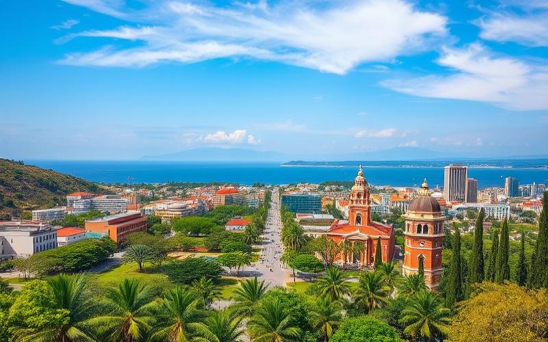
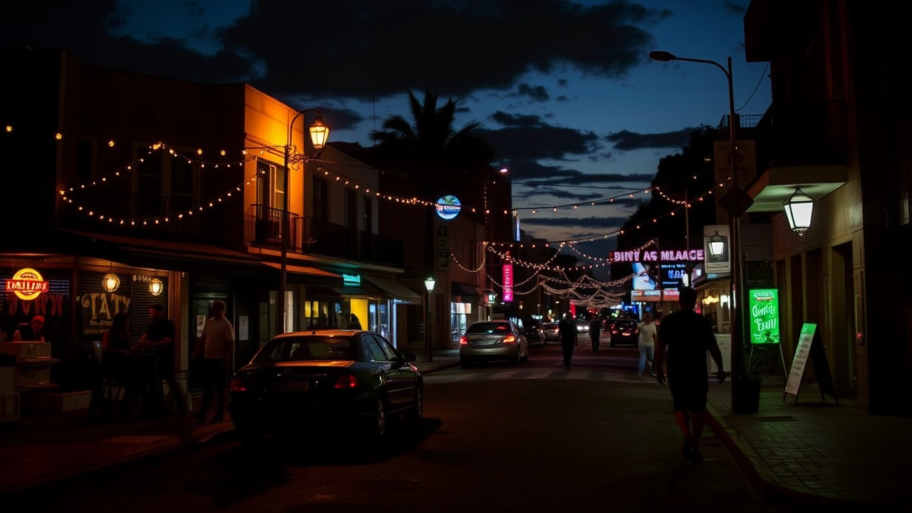
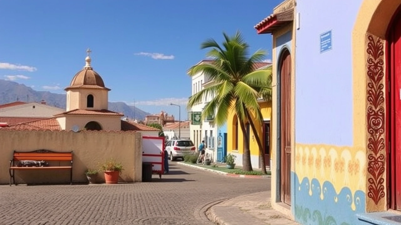
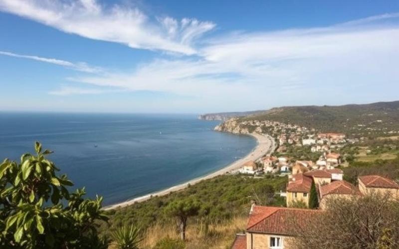
Finally, the Coast, from Montevideo to the Brazilian border, combines agricultural areas and a touristic strip. West of Montevideo, Canelones lines up a succession of more popular beach resorts; to the east, Maldonado and Rocha offer a wilder or more exclusive coastline, with resorts like Punta del Este, Piriápolis, Atlántida, Cabo Polonio, or Aguas Dulces. In these sectors, the physical geography – dunes, lagoons, coastal forests – is intimately mixed with a seasonal geography of second homes and tourist flows.
Increasingly Technified Agriculture
While the map of land uses long remained dominated by extensive livestock farming, the turn of the 21st century accelerated the conversion of vast swathes of the pampas into mechanized cropland. The cultivated area grew from about 845,000 hectares in 2005 to nearly two million hectares in a little over a decade, mainly due to soybeans. The country has risen to become a significant exporter of this oilseed, often transgenic and grown using no-till farming, in rotation systems with wheat or barley.
This is the average yield in tons per hectare of Uruguayan rice farming, one of the most productive in the world.
This modernization is not without environmental consequences. Practices like no-till farming and rotational grazing allowed for a notable decrease in soil erosion in the 1990s‑2000s. But the abrupt conversion of grasslands into monocultures and the increased use of pesticides have, since the late 2000s, reignited erosion and water contamination, as shown by the analysis of sediments in the Rincón del Bonete reservoir, where even resurgences of DDT are detected long after its ban.
A Very Urban Population, Concentrated on the Coast
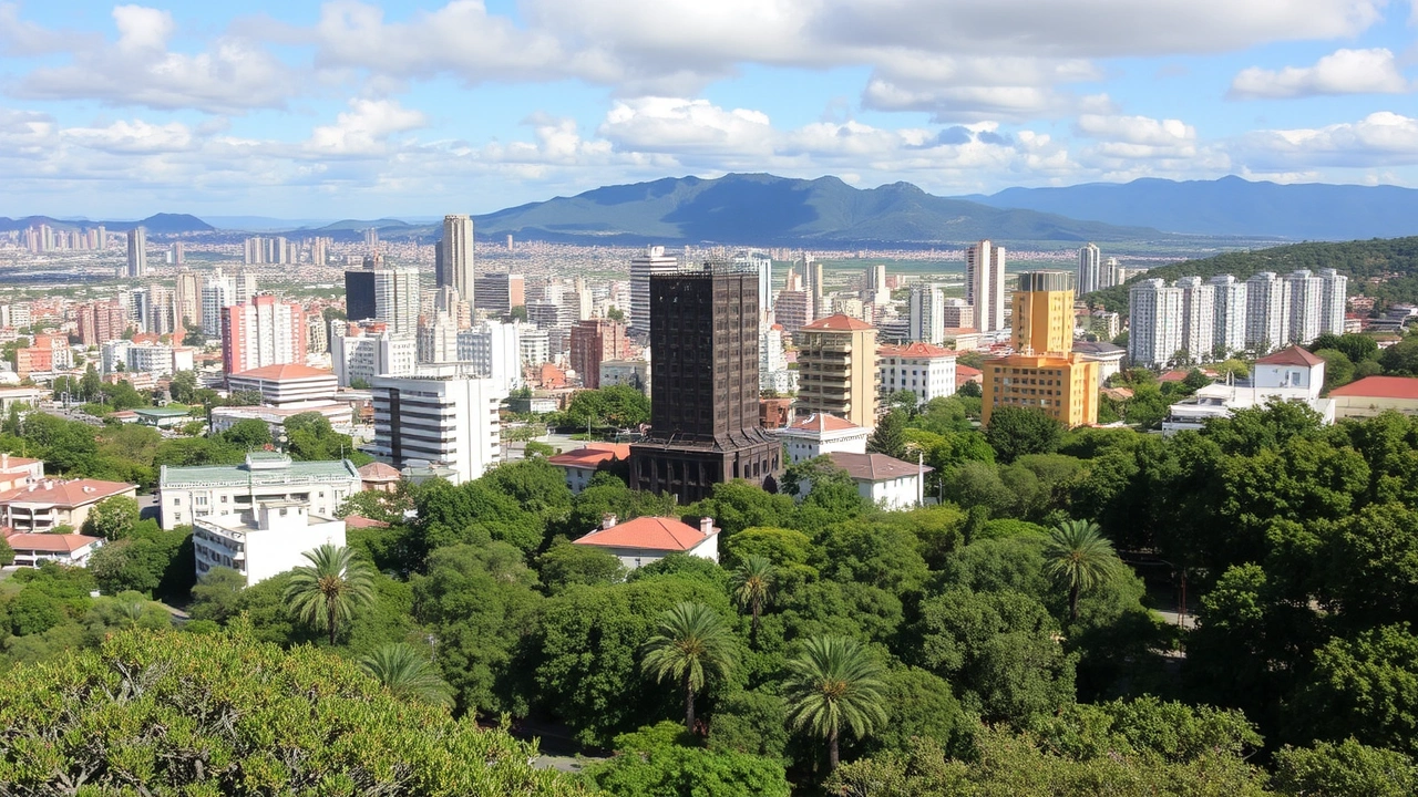
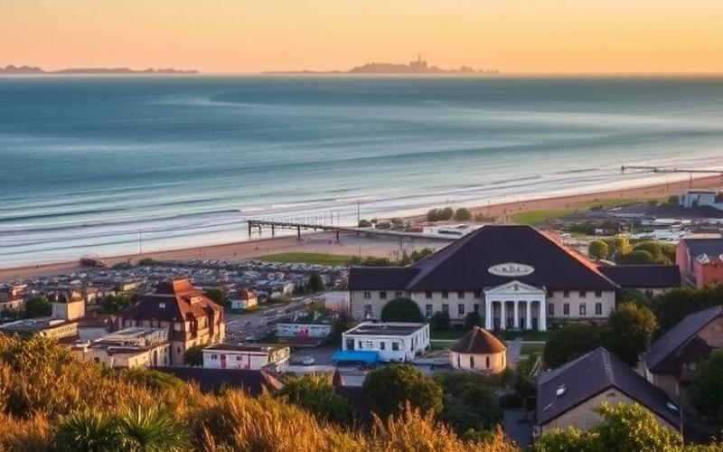
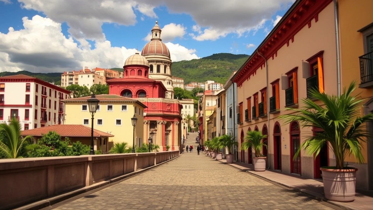
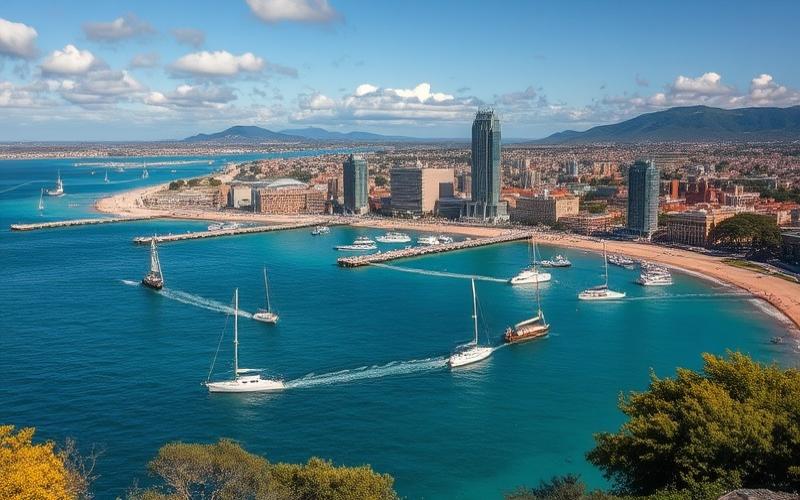
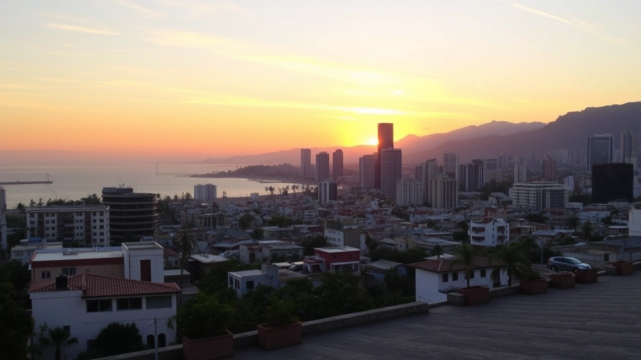
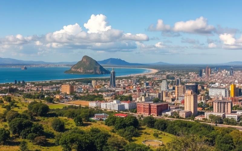
The human geography of Uruguay is dominated by the omnipresence of Montevideo. The capital, founded on a promontory sheltering a natural deep-water bay, was promoted by the British in the 19th century as a rival port to Buenos Aires. Even today, it concentrates about a third of the national population and plays a hugely disproportionate role relative to its physical size.
The population density exceeds 2,400 inhabitants/km² in the Montevideo department, which is 120 times the national average.
Main Departments and Population
| Department | Area (km²) | Population (2023, approx.) | Key Geographic Traits |
|---|---|---|---|
| Montevideo | ~530 | ≈ 1.3 million | Capital, major port, very high density |
| Canelones | ~4,536 | ≈ 609,000 | Montevideo’s suburbs, market gardening, beaches |
| Maldonado | ~4,793 | ≈ 213,000 | Atlantic coast, Punta del Este |
| Salto | ~14,163 | ≈ 136,000 | Río Uruguay valley, Salto Grande dam |
| Tacuarembó | ~15,438 | ≈ 96,000 | Rural interior, hills and pastures |
| Artigas | ~11,928 | ≈ 77,000 | Northern border with Brazil and Argentina |
Beyond the capital, the secondary urban network is underdeveloped: only one other city exceeds 100,000 inhabitants (Salto), and most departmental capitals oscillate between 50,000 and 100,000 inhabitants. The very high urbanization (over 90% of the population lives in cities) is explained by rural exodus but also by a model in which many agricultural workers reside in small towns rather than in isolated hamlets.
Montevideo, for its part, has a very legible internal geography. The old city (Ciudad Vieja), clinging to the port, gradually gave way, as a residential center, to longitudinal neighborhoods stretching eastwards along the Rambla, that long coastal avenue over 20 km long. The middle and upper classes migrated over time to Pocitos, with its waterfront buildings, then to Carrasco, a more spacious neighborhood of villas and gardens, immediately adjacent to the international airport.
Working-class and industrial areas were established more to the north and around the bay, while belts of informal neighborhoods (cantegriles or slums) appeared on the periphery from the 1970s onwards. Even if these pockets of poverty remain less extensive than in other South American metropolises, they testify to the tension between the coastal megacity and the depopulated hinterland.
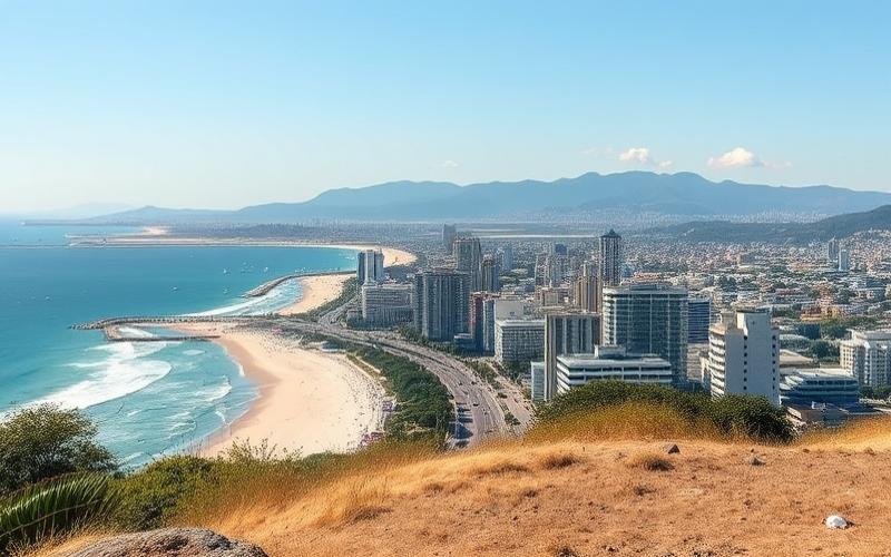
The Sea, Estuaries, and Beaches: A Strategic Coastal Facade
An essential part of the geography of Uruguay plays out at the blurred frontier between continents and oceans. The Río de la Plata, a gigantic estuary formed by the junction of the Paraná and Uruguay rivers, expands the sea front over nearly 450 km of coastline. From Montevideo to Colonia, this estuarine margin forms a pivotal space, half fluvial, half maritime, marked by often muddy waters and a weak tidal range, but vital for navigation.
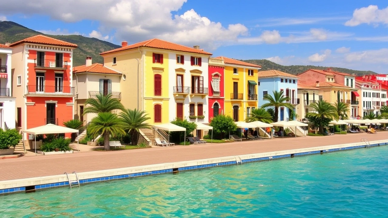
East of Montevideo, towards Rocha, the coast has a marked Atlantic character. It is dotted with numerous beach resorts, from Pocitos to Cabo Polonio, and offers varied landscapes alternating long sandy beaches, rocky headlands, coastal lagoons, and mobile dunes, like the Valizas dune.
Seawater remains relatively cool despite the temperate latitude: in Punta del Este, it reaches 22–23 °C between January and March, allowing for summer bathing without offering tropical temperatures. Ocean currents – the meeting of the warm Brazil Current and the cold Malvinas (Falkland) Current – contribute to this coolness and also shape the distribution of marine fauna, including dolphins, turtles, and sea lions visible near islands like Isla de Lobos.
The shorelines have suffered historical shocks like the 1977 oil spill in Punta del Este, affecting wildlife and landscapes. Today, they face new pressures: tourism, real estate speculation, coastal erosion, and informal development, especially in the poorly planned areas of Rocha where subdivisions encroach on dunes and marshes.
A Geography Under Pressure: Pollution, Deforestation, Climate
The often bucolic image attached to Uruguay – that of a small, green, stable, “natural” state – masks growing environmental tensions directly linked to its physical and economic geography.
Agricultural intensification on the pampas translates into the replacement of natural grasslands rich in biodiversity with soybean, rice, and corn monocultures, or with eucalyptus and pine plantations. The Uruguayan savanna, an ecoregion covering most of the territory, is now considered “critically endangered,” with original habitats highly fragmented. An indicator of this pressure, an international forest landscape integrity index gives the country a relatively low score, around 3.6/10.
The Santa Lucía basin, the main source of drinking water for Montevideo, is polluted by untreated discharges, fertilizers, pesticides, and industrial effluents. The port of Montevideo shows concerning concentrations of heavy metals and hydrocarbons, and some neighborhoods are affected by lead pollution due to battery recycling.
Soils are not exempt from degradation, between water erosion, compaction, and contamination by persistent molecules like DDT, whose presence is still detected in sediments. The deforestation of residual fragments of native forest, accentuated by the development of industrial forestry, contributes to habitat fragmentation and the loss of ecosystem services.
The economic losses caused by extreme droughts and floods between 2018 and 2023 amount to several billion dollars.
Faced with these challenges, public authorities have structured a territorial response: national system for responding to climate change, ministries dedicated to the environment, national sectoral adaptation plans (coasts, cities, agriculture, energy), international commitments (Kyoto Protocol, Paris Agreement, strategy for carbon neutrality by 2050). The massive choice of renewable energies – nearly 98–99% of electricity comes from hydropower, wind, solar, and biomass – also reorganizes the energy geography, multiplying wind farms on the hills, biomass power plants in pulp mill complexes, and dams on major rivers.
A Small Territory, A Great Geographic Diversity
By the end of this journey, the geography of Uruguay appears as a permanent balancing act. A balance first between an almost uniform grassy plain and micro-reliefs that suffice to diversify landscapes, soils, and local climates. A balance then between water and land: border rivers, a giant estuary, networks of lagoons, immense aquifers, but also droughts and conflicts of use. A balance, finally, between an ancient agricultural vocation – pastures, livestock, crops – and new ambitions based on post-industrial activities, cosmopolitan cities, and largely decarbonized energy.
In this space of less than 180,000 km², the contrasts are real: record densities around Montevideo and almost empty pastoral vastness in the north; trendy beachfront in Punta del Este and improvised hamlets on the coast of Rocha; high-tech irrigated rice and traditional estancias on the cuchillas; natural wetland reserves and eucalyptus plantations as far as the eye can see. Understanding the geography of Uruguay therefore means accepting to look beyond its small size on the map, to read the great physical, ecological, and human dynamics that shape the entire Southern Cone.
Disclaimer: The information provided on this website is for informational purposes only and does not constitute financial, legal, or professional advice. We encourage you to consult qualified experts before making any investment, real estate, or expatriation decisions. Although we strive to maintain up-to-date and accurate information, we do not guarantee the completeness, accuracy, or timeliness of the proposed content. As investment and expatriation involve risks, we disclaim any liability for potential losses or damages arising from the use of this site. Your use of this site confirms your acceptance of these terms and your understanding of the associated risks.
Cyril Jarnias is an independent expert in international wealth management with over 20 years of experience. As an expatriate himself, he is dedicated to helping individuals and business leaders build, protect, and pass on their wealth with complete peace of mind.
On his website, cyriljarnias.com, he shares his expertise on international real estate, offshore company formation, and expatriation.
Thanks to his expertise, he offers sound advice to optimize his clients' wealth management. Cyril Jarnias is also recognized for his appearances in many prestigious media outlets such as BFM Business, les Français de l’étranger, Le Figaro, Les Echos, and Mieux vivre votre argent, where he shares his knowledge and know-how in wealth management.