
 Published on and written by Cyril Jarnias
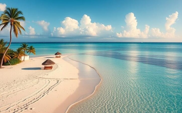
The Bahamas is a fascinating archipelago located in the Atlantic Ocean, east of Florida and north of Cuba. This island nation offers an idyllic setting with its white sand beaches, crystal-clear waters, and lush vegetation. Let’s dive into the unique geography of this Caribbean country to better understand its tourist appeal and distinctive features.
Geographical Location: A Strategically Positioned Archipelago
The Bahamas holds a strategic position in the Caribbean region. The archipelago stretches approximately 1,200 km from northwest to southeast, between Florida in the United States and the island of Hispaniola (shared by Haiti and the Dominican Republic).
Geographic Coordinates: The Bahamas is located between 20° and 27° north latitude and between 72° and 79° west longitude. This location gives it a pleasant tropical climate year-round.
Area: The country covers a total area of about 13,880 km², of which 10,010 km² is land. The Bahamas also has a vast exclusive economic zone of over 260,000 km².
Archipelago Composition: The Bahamas comprises over 700 islands and cays, of which only about thirty are permanently inhabited. The main islands include New Providence, Grand Bahama, Andros, Eleuthera, Abaco, and Exuma.
Good to Know:
Although part of the Caribbean from a cultural and tourist perspective, the Bahamas is geographically located in the Atlantic Ocean, outside the Caribbean Sea.
Topography: Low but Varied Terrain
The terrain of the Bahamas is generally flat, with some rolling hills on certain islands. This topography results from the geological formation of the archipelago, composed mainly of coral limestone.
Highest Point: Mount Alvernia, located on Cat Island, is the highest point in the Bahamas at an elevation of only 63 meters above sea level.
Coastline: The Bahamas has a highly indented coastline, with numerous bays, coves, and beaches. The total length of the coastline is estimated at about 3,542 km.
Coral Reefs: The archipelago is home to the third-largest barrier reef in the world, offering exceptional diving sites and remarkable marine biodiversity.
Climate: A Tropical Paradise Year-Round
The Bahamas enjoys a tropical maritime climate, characterized by mild temperatures and moderate rainfall.
Temperatures: Averages range from 21°C in winter to 30°C in summer. The influence of the Gulf Stream helps maintain pleasant temperatures throughout the year.
Precipitation: Rainfall is relatively well distributed, with an annual average varying from 1,000 to 1,500 mm depending on the island. The rainy season generally runs from May to October.
Natural Hazards: The Bahamas is exposed to hurricanes, particularly during the cyclone season from June to November. The country was notably hit by Hurricane Dorian in 2019, causing significant damage to the Abaco and Grand Bahama islands.
Good to Know:
The climate of the Bahamas is ideal for beach tourism, with an average of over 300 days of sunshine per year.
Main Regions and Islands: A Diversity of Experiences
The Bahamas is divided into several regions, each offering its own attractions and features:
New Providence: This is the most populous and developed island, home to the capital Nassau. It concentrates the majority of the country’s tourist and economic infrastructure.
Grand Bahama: The second most populous island, it is known for the city of Freeport and its many tourist activities.
Andros: The largest island in the archipelago, Andros is renowned for its mangrove forests, blue holes, and diving opportunities.
Abaco: This archipelago in the northeast of the Bahamas is appreciated for its secluded beaches and small picturesque villages.
Eleuthera: This narrow, elongated island is famous for its pink sand beaches and laid-back atmosphere.
Exuma: This archipelago of 365 islands and cays is a paradise for boating enthusiasts and those seeking isolated beaches.
Main Cities: Dynamic Urban Centers
Although the Bahamas is primarily known for its beaches and natural landscapes, the country also has several important urban centers:
Nassau: The capital and largest city of the country, Nassau is located on the island of New Providence. It is home to about 70% of the total population of the Bahamas, approximately 274,400 residents. It is the economic, political, and cultural center of the country.
Freeport: The second most important city, Freeport is located on the island of Grand Bahama. It has about 26,910 residents and is a major tourist and industrial center.
Lucaya: Also located on Grand Bahama, Lucaya is a tourist city renowned for its beaches and hotel resorts. Its population is estimated at about 46,525 residents.
Marsh Harbour: The main urban center of the Abaco islands, Marsh Harbour has about 5,314 residents and serves as a hub for tourism in the region.
George Town: Located on the island of Great Exuma, George Town is a small town of about 7,314 residents, known for its port and water activities.
Good to Know:
Despite the presence of these urban centers, the majority of the Bahamian population lives in small island communities scattered across the archipelago.
Neighboring Countries: A Strategic Position in the Caribbean
Although the Bahamas is an isolated archipelago, the country shares maritime borders with several nations:
United States: The closest neighbor, located just 80 km west of the island of Bimini. Florida is easily accessible from the Bahamas.
Cuba: The island of Cuba is about 90 km south of the Bahamas, separated by the Old Bahama Channel.
Haiti: The northwestern tip of Haiti is located about 150 km southeast of the Bahamas.
Turks and Caicos Islands: This British Overseas Territory is located southeast of the Bahamas and shares geographical and cultural similarities with the archipelago.
The proximity of these countries influences not only the geography of the Bahamas, but also its history, culture, and economy, particularly through trade and tourism.
Good to Know:
The strategic position of the Bahamas makes it an important transit point for maritime traffic between North America, Central America, and the Caribbean.
The unique geography of the Bahamas, combining paradise islands, a tropical climate, and a strategic position in the Caribbean, makes it a top destination for tourists from around the world. Whether for its white sand beaches, turquoise waters, or exceptional marine biodiversity, the archipelago offers an unforgettable experience to its visitors.
Disclaimer: The information provided on this website is for informational purposes only and does not constitute financial, legal, or professional advice. We encourage you to consult qualified experts before making any investment, real estate, or expatriation decisions. Although we strive to maintain up-to-date and accurate information, we do not guarantee the completeness, accuracy, or timeliness of the proposed content. As investment and expatriation involve risks, we disclaim any liability for potential losses or damages arising from the use of this site. Your use of this site confirms your acceptance of these terms and your understanding of the associated risks.

Cyril Jarnias is an independent expert in international wealth management with over 20 years of experience. As an expatriate himself, he is dedicated to helping individuals and business leaders build, protect, and pass on their wealth with complete peace of mind.
On his website, cyriljarnias.com, he shares his expertise on international real estate, offshore company formation, and expatriation.
Thanks to his expertise, he offers sound advice to optimize his clients' wealth management. Cyril Jarnias is also recognized for his appearances in many prestigious media outlets such as BFM Business, les Français de l’étranger, Le Figaro, Les Echos, and Mieux vivre votre argent, where he shares his knowledge and know-how in wealth management.





