
 Published on and written by Cyril Jarnias
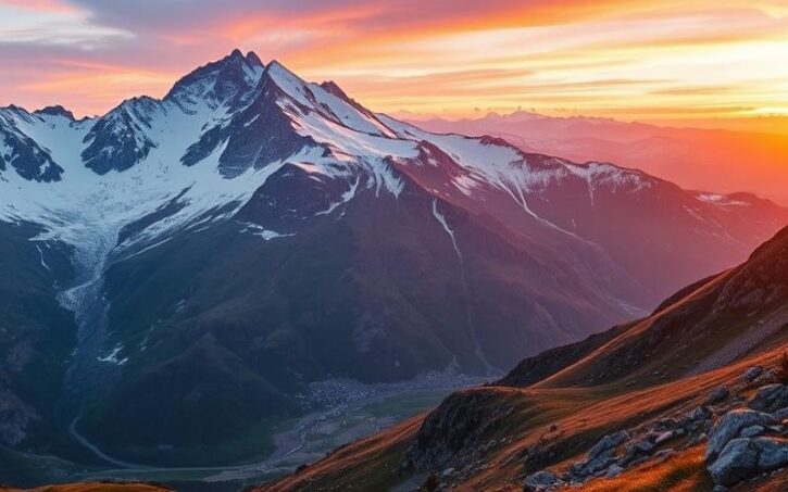
Andorra is a small principality nestled in the heart of the Pyrenees, between France and Spain. Despite its small size, this mountainous country offers spectacular landscapes and a unique geography that make it a popular destination for nature lovers and winter sports enthusiasts. Let’s explore the main geographical features of this European microstate together.
Geographical Location of Andorra
Andorra is located in southwestern Europe, on the southern slope of the eastern Pyrenees. Its approximate geographical coordinates are:
– Latitude: 42.5078° N
– Longitude: 1.5211° E
This small mountainous country is landlocked between two major European countries:
– To the north and northeast: France (departments of Ariège and Pyrénées-Orientales)
– To the south and southwest: Spain (autonomous community of Catalonia)
Andorra shares a total of 118 km of borders, including 55 km with France and 63 km with Spain.
Main Geographical Features
Andorra has a unique geography, characterized by:
– A total area of 468 km², making it the sixth smallest state in Europe but the largest of the European microstates
– An average altitude of about 1,996 meters, making Andorra one of the highest countries in Europe
– A very mountainous terrain, with over 60 peaks exceeding 2,500 meters in altitude
– Three main Y-shaped valleys formed by the branches of the Valira, the country’s main watercourse
Main Regions and Cities of Andorra
Andorra is divided into seven administrative parishes, which constitute the country’s main regions:
1. Andorra la Vella
2. Canillo
3. Encamp
4. Escaldes-Engordany
5. La Massana
6. Ordino
7. Sant Julià de Lòria
The main cities of Andorra, ranked by population, are:
1. Andorra la Vella (capital): approximately 22,250 inhabitants
2. Escaldes-Engordany: approximately 14,600 inhabitants
3. Encamp: approximately 7,650 inhabitants
4. Sant Julià de Lòria: approximately 7,600 inhabitants
5. La Massana: approximately 5,400 inhabitants
Notable Geographical Points
Some notable geographical features of Andorra:
– Highest point: Pic de Coma Pedrosa (2,943 meters)
– Lowest point: Confluence of the Runer and the Valira (840 meters)
– Main watercourse: The Valira
– Largest lake: Lake Juclar (22 hectares)
Climate and Environment
Andorra enjoys a mountain Mediterranean climate, characterized by:
– Cold, snowy winters
– Mild, sunny summers
– Moderate rainfall
The country has a rich natural heritage, with:
– 92% of the territory covered by forests, lakes, rivers, and mountains
– Remarkable biodiversity, recognized as an Important Bird Area
– The Madriu-Perafita-Claror Valley, a UNESCO World Heritage site
Good to know:
Andorra has neither an airport nor a railway. Access to the country is only by road from France (RN22) or Spain (N-145).
Impact of Geography on the Economy and Lifestyle
Andorra’s unique geography has a significant influence on its economy and the lifestyle of its inhabitants:
– Tourism is a major economic pillar, especially thanks to ski resorts and mountain landscapes
– Agriculture is limited due to the rugged terrain, but livestock farming remains an important traditional activity
– Cross-border trade is facilitated by the country’s strategic position between France and Spain
– Urbanization is mainly concentrated in the valleys, where the main cities and infrastructure are located
Good to know:
Despite its small size, Andorra attracts over 8 million visitors each year, nearly 100 times its population!
Conclusion
Andorra’s geography, characterized by its mountainous terrain and landlocked location between France and Spain, makes it a unique country in Europe. This small principality has managed to leverage its natural assets to develop a dynamic economy based on tourism and trade, while preserving its exceptional natural heritage.

Cyril Jarnias is an independent expert in international wealth management with over 20 years of experience. As an expatriate himself, he is dedicated to helping individuals and business leaders build, protect, and pass on their wealth with complete peace of mind.
On his website, cyriljarnias.com, he shares his expertise on international real estate, offshore company formation, and expatriation.
Thanks to his expertise, he offers sound advice to optimize his clients' wealth management. Cyril Jarnias is also recognized for his appearances in many prestigious media outlets such as BFM Business, les Français de l’étranger, Le Figaro, Les Echos, and Mieux vivre votre argent, where he shares his knowledge and know-how in wealth management.





